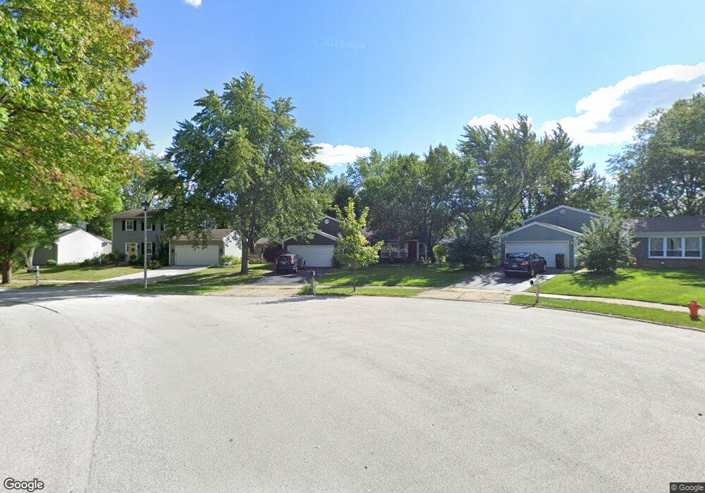
2101 Dorval Dr Naperville, IL 60565
Old Farm NeighborhoodEstimated Value: $460,000 - $487,000
5
Beds
3
Baths
1,600
Sq Ft
$295/Sq Ft
Est. Value
About This Home
This home is located at 2101 Dorval Dr, Naperville, IL 60565 and is currently estimated at $472,612, approximately $295 per square foot. 2101 Dorval Dr is a home located in DuPage County with nearby schools including Robert Clow Elementary School, Ellsworth Elementary School, and Gordon Gregory Middle School.
Ownership History
Date
Name
Owned For
Owner Type
Purchase Details
Closed on
Sep 12, 1997
Sold by
Orf Terry R and Orf Elizabeth L
Bought by
Grove Jeffrey J and Grove Amy J
Current Estimated Value
Home Financials for this Owner
Home Financials are based on the most recent Mortgage that was taken out on this home.
Original Mortgage
$123,600
Interest Rate
6.87%
Create a Home Valuation Report for This Property
The Home Valuation Report is an in-depth analysis detailing your home's value as well as a comparison with similar homes in the area
Home Values in the Area
Average Home Value in this Area
Purchase History
| Date | Buyer | Sale Price | Title Company |
|---|---|---|---|
| Grove Jeffrey J | $154,000 | Law Title Pick Up |
Source: Public Records
Mortgage History
| Date | Status | Borrower | Loan Amount |
|---|---|---|---|
| Previous Owner | Grove Jeffrey J | $123,600 |
Source: Public Records
Tax History Compared to Growth
Tax History
| Year | Tax Paid | Tax Assessment Tax Assessment Total Assessment is a certain percentage of the fair market value that is determined by local assessors to be the total taxable value of land and additions on the property. | Land | Improvement |
|---|---|---|---|---|
| 2024 | $8,211 | $139,546 | $43,759 | $95,787 |
| 2023 | $7,849 | $125,390 | $39,320 | $86,070 |
| 2022 | $7,572 | $116,790 | $36,340 | $80,450 |
| 2021 | $7,329 | $112,620 | $35,040 | $77,580 |
| 2020 | $7,319 | $112,620 | $35,040 | $77,580 |
| 2019 | $7,026 | $107,120 | $33,330 | $73,790 |
| 2018 | $6,568 | $98,790 | $30,500 | $68,290 |
| 2017 | $6,383 | $95,440 | $29,470 | $65,970 |
| 2016 | $6,261 | $91,590 | $28,280 | $63,310 |
| 2015 | $6,195 | $86,960 | $26,850 | $60,110 |
| 2014 | $6,550 | $88,630 | $27,160 | $61,470 |
| 2013 | $6,537 | $89,250 | $27,350 | $61,900 |
Source: Public Records
Map
Nearby Homes
- 445 Travelaire Ave
- 2206 Gleneagles Dr
- 2167 Countryside Cir
- 343 Danbury Dr Unit 6B
- 303 Cedarbrook Rd
- 567 Roxbury Dr
- 284 Westbrook Cir
- 240 Westbrook Cir
- 2337 Worthing Dr Unit 102A
- 221 Hampshire Ct Unit 201D
- 2132 Berkley Ct Unit 201A
- 47 Glencoe Ct Unit 102D
- 1921 Wisteria Ct Unit 3
- 2471 Kingsley Dr
- 2734 Alyssa Dr
- 23 Glencoe Ct Unit 202B
- 1443 Meander Dr
- 213 Winding Creek Dr
- 344 Waxwing Ave
- 2279 Kaskaskia Ct
- 2105 Dorval Dr
- 2097 Dorval Dr
- 421 Travelaire Ave Unit 5
- 417 Travelaire Ave
- 2109 Dorval Dr
- 425 Travelaire Ave
- 2093 Dorval Dr
- 413 Travelaire Ave
- 2094 Dorval Dr
- 2089 Dorval Dr
- 2113 Dorval Dr
- 409 Travelaire Ave
- 429 Travelaire Ave
- 2093 Navarone Dr
- 2086 Dorval Dr
- 2085 Dorval Dr
- 422 Travelaire Ave
- 2089 Navarone Dr
- 433 Travelaire Ave
- 414 Travelaire Ave