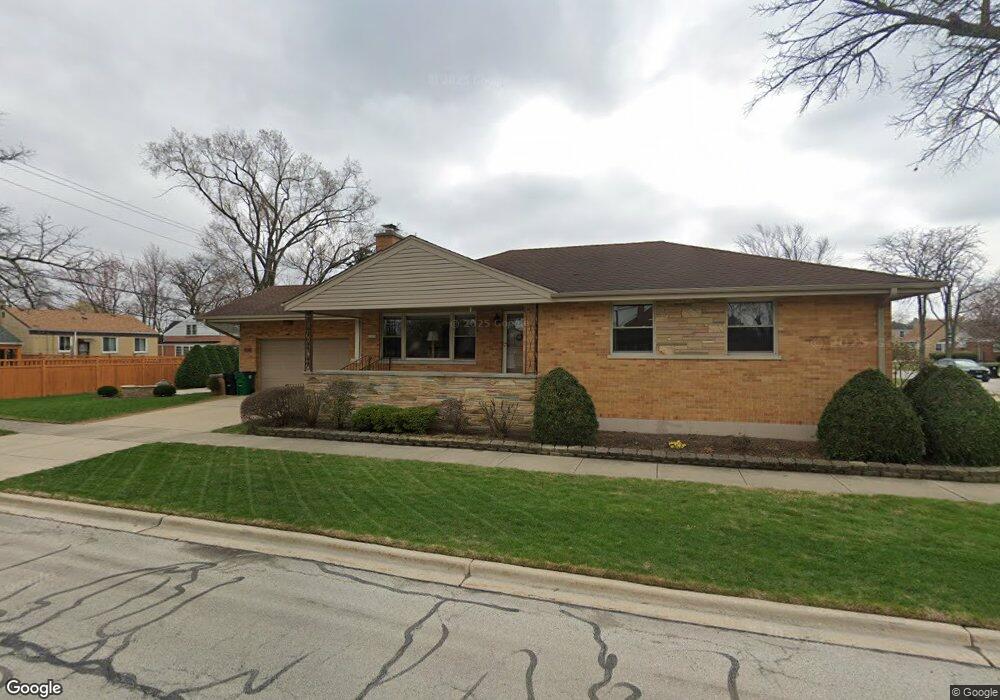
2101 Norfolk Ave Westchester, IL 60154
Estimated Value: $413,303 - $497,000
3
Beds
2
Baths
1,748
Sq Ft
$253/Sq Ft
Est. Value
About This Home
This home is located at 2101 Norfolk Ave, Westchester, IL 60154 and is currently estimated at $441,826, approximately $252 per square foot. 2101 Norfolk Ave is a home located in Cook County with nearby schools including Westchester Primary School, Westchester Intermediate School, and Westchester Middle School.
Ownership History
Date
Name
Owned For
Owner Type
Purchase Details
Closed on
Oct 1, 1998
Sold by
Pinnacle Bank
Bought by
Loisi Guy J and Loisi Anna
Current Estimated Value
Purchase Details
Closed on
May 29, 1998
Sold by
Pinnacle Bank
Bought by
Hammes Neil R and Hammes Debra L
Home Financials for this Owner
Home Financials are based on the most recent Mortgage that was taken out on this home.
Original Mortgage
$178,400
Interest Rate
7.32%
Create a Home Valuation Report for This Property
The Home Valuation Report is an in-depth analysis detailing your home's value as well as a comparison with similar homes in the area
Home Values in the Area
Average Home Value in this Area
Purchase History
| Date | Buyer | Sale Price | Title Company |
|---|---|---|---|
| Loisi Guy J | $63,000 | -- | |
| Hammes Neil R | $223,000 | 1St American Title |
Source: Public Records
Mortgage History
| Date | Status | Borrower | Loan Amount |
|---|---|---|---|
| Previous Owner | Hammes Neil R | $178,400 |
Source: Public Records
Tax History Compared to Growth
Tax History
| Year | Tax Paid | Tax Assessment Tax Assessment Total Assessment is a certain percentage of the fair market value that is determined by local assessors to be the total taxable value of land and additions on the property. | Land | Improvement |
|---|---|---|---|---|
| 2024 | $7,528 | $32,000 | $4,668 | $27,332 |
| 2023 | $6,450 | $32,000 | $4,668 | $27,332 |
| 2022 | $6,450 | $24,563 | $4,001 | $20,562 |
| 2021 | $6,270 | $24,562 | $4,001 | $20,561 |
| 2020 | $6,192 | $24,562 | $4,001 | $20,561 |
| 2019 | $6,549 | $26,612 | $3,667 | $22,945 |
| 2018 | $6,462 | $26,612 | $3,667 | $22,945 |
| 2017 | $6,354 | $26,612 | $3,667 | $22,945 |
| 2016 | $6,093 | $23,389 | $3,334 | $20,055 |
| 2015 | $5,979 | $23,389 | $3,334 | $20,055 |
| 2014 | $5,856 | $23,389 | $3,334 | $20,055 |
| 2013 | $5,540 | $24,668 | $3,334 | $21,334 |
Source: Public Records
Map
Nearby Homes
- 1900 Manchester Ave
- 1907 Suffolk Ave
- 1840 Gardner Rd
- 1932 Newcastle Ave
- 1623 Manchester Ave
- 2128 Hull Ave
- 1601 Bristol Ave
- 1500 Bristol Ave
- 1433 Bristol Ave
- 1542 Homestead Rd
- 10072 Drury Ln
- 1427 Homestead Rd Unit H
- 2320 S 22nd Ave
- 1518 Cleveland Ave
- 10567 Waterford Dr
- 1245 S Mannheim Rd Unit 2
- 1247 S Mannheim Rd Unit 3
- 10531 Camelot St
- 10630 W Cermak Rd Unit 2E
- 1860 Buckingham Ave
- 2105 Norfolk Ave
- 2109 Norfolk Ave
- 2100 Manchester Ave
- 2104 Manchester Ave
- 2113 Norfolk Ave
- 1953 Norfolk Ave
- 2108 Manchester Ave
- 1958 Manchester Ave
- 2119 Norfolk Ave
- 2102 Norfolk Ave
- 2112 Manchester Ave
- 2104 Norfolk Ave
- 1952 Manchester Ave
- 1945 Norfolk Ave
- 1958 Norfolk Ave
- 2118 Manchester Ave
- 2125 Norfolk Ave
- 2112 Norfolk Ave
- 1946 Manchester Ave