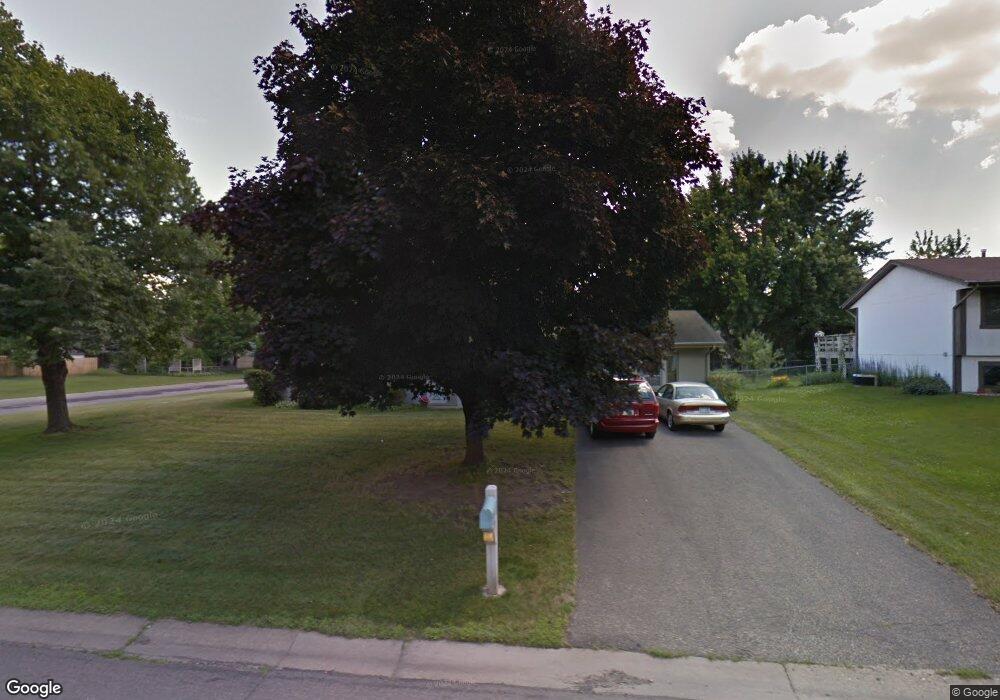
2101 Pearson Pkwy Brooklyn Park, MN 55444
Norwood NeighborhoodEstimated Value: $364,000 - $427,000
3
Beds
2
Baths
2,160
Sq Ft
$180/Sq Ft
Est. Value
About This Home
This home is located at 2101 Pearson Pkwy, Brooklyn Park, MN 55444 and is currently estimated at $387,852, approximately $179 per square foot. 2101 Pearson Pkwy is a home located in Hennepin County with nearby schools including Palmer Lake Elementary School, Park Center Senior High, and SAGE Academy Charter School.
Ownership History
Date
Name
Owned For
Owner Type
Purchase Details
Closed on
Mar 16, 2022
Sold by
Marushin Peterson Barbara H and Marushin Mathew E
Bought by
Peterson Barbara H Marushin and Peterson Mathew E
Current Estimated Value
Home Financials for this Owner
Home Financials are based on the most recent Mortgage that was taken out on this home.
Original Mortgage
$210,000
Outstanding Balance
$196,052
Interest Rate
3.85%
Estimated Equity
$191,800
Create a Home Valuation Report for This Property
The Home Valuation Report is an in-depth analysis detailing your home's value as well as a comparison with similar homes in the area
Home Values in the Area
Average Home Value in this Area
Purchase History
| Date | Buyer | Sale Price | Title Company |
|---|---|---|---|
| Peterson Barbara H Marushin | $500 | None Listed On Document |
Source: Public Records
Mortgage History
| Date | Status | Borrower | Loan Amount |
|---|---|---|---|
| Open | Peterson Barbara H Marushin | $210,000 |
Source: Public Records
Tax History Compared to Growth
Tax History
| Year | Tax Paid | Tax Assessment Tax Assessment Total Assessment is a certain percentage of the fair market value that is determined by local assessors to be the total taxable value of land and additions on the property. | Land | Improvement |
|---|---|---|---|---|
| 2024 | $5,061 | $356,200 | $120,000 | $236,200 |
| 2023 | $4,763 | $348,500 | $120,000 | $228,500 |
| 2022 | $4,215 | $335,500 | $120,000 | $215,500 |
| 2021 | $3,962 | $307,300 | $58,000 | $249,300 |
| 2020 | $3,838 | $290,900 | $58,000 | $232,900 |
| 2019 | $3,724 | $269,500 | $58,000 | $211,500 |
| 2018 | $3,503 | $249,800 | $50,400 | $199,400 |
| 2017 | $3,038 | $199,300 | $50,400 | $148,900 |
| 2016 | $2,974 | $193,000 | $50,400 | $142,600 |
| 2015 | $2,975 | $188,400 | $40,300 | $148,100 |
| 2014 | -- | $170,900 | $40,300 | $130,600 |
Source: Public Records
Map
Nearby Homes
- 2425 Gunflint Trail
- 8205 Queen Ave N
- 2300 Laramie Trail
- 8215 Queen Ave N
- 8232 Morgan Ave N
- 7849 Sierra Pkwy
- 2016 Teton Trail
- 2708 Pearson Pkwy
- 2208 84th Ave N
- 1308 Pearson Pkwy
- 1222 81st Ct N
- 1216 82nd Ave N
- 8524 Stratford Ln
- 2729 Parkhaven Ct N
- 8401 Thomas Ct N
- 8367 Thomas Ct N
- 2531 Brookdale Ln Unit 2531
- 7608 Newton Ave N
- 8528 Telford Crossing
- 2537 Brookdale Ln
- 2109 Pearson Pkwy
- 2100 Gunflint Trail
- 2017 Pearson Pkwy
- 2117 Pearson Pkwy
- 2100 Pearson Pkwy
- 2108 Pearson Pkwy
- 2024 Gunflint Trail
- 2116 Gunflint Trail
- 8052 Morgan Cir N
- 8052 8052 Morgan Cir N
- 2009 Pearson Pkwy
- 2116 Pearson Pkwy
- 2016 Gunflint Trail
- 2201 Pearson Pkwy
- 2200 Gunflint Trail
- 7941 Newton Ave N
- 2200 Pearson Pkwy
- 8048 Morgan Cir N
- 2001 Pearson Pkwy
- 2109 Gunflint Trail