Estimated Value: $683,761
--
Bed
2
Baths
1,071
Sq Ft
$638/Sq Ft
Est. Value
About This Home
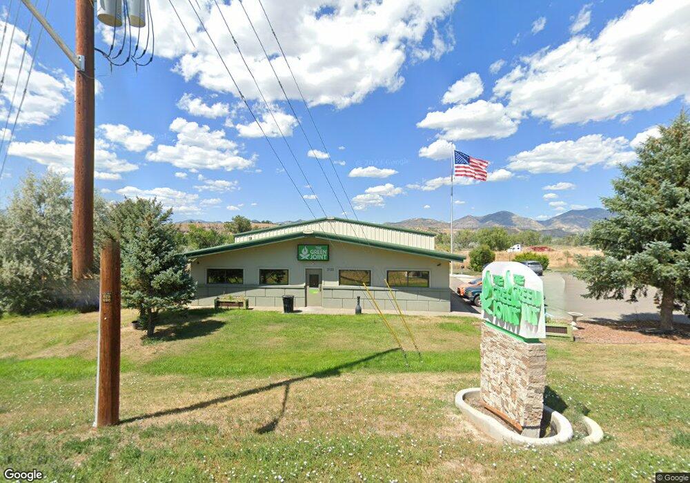
This home is located at 2102 Airport Rd Unit Suite B, Rifle, CO 81650 and is currently estimated at $683,761, approximately $638 per square foot. 2102 Airport Rd Unit Suite B is a home located in Garfield County with nearby schools including Highland Elementary School, Rifle Middle School, and Rifle High School.
Ownership History
Date
Name
Owned For
Owner Type
Purchase Details
Closed on
May 2, 2025
Sold by
2102 Airport Road Llc
Bought by
Capitol Peak Properties Llc
Current Estimated Value
Purchase Details
Closed on
Nov 1, 2016
Sold by
Burgess Bryan K and Burgess Dawn
Bought by
2102 Airport Road Llc
Home Financials for this Owner
Home Financials are based on the most recent Mortgage that was taken out on this home.
Original Mortgage
$335,000
Interest Rate
12%
Mortgage Type
Purchase Money Mortgage
Purchase Details
Closed on
Jan 15, 2002
Sold by
Burgess Plastering & Drywall Inc
Bought by
Burgess Bryan K and Burgess Dawn
Purchase Details
Closed on
Dec 17, 1999
Create a Home Valuation Report for This Property
The Home Valuation Report is an in-depth analysis detailing your home's value as well as a comparison with similar homes in the area
Home Values in the Area
Average Home Value in this Area
Purchase History
| Date | Buyer | Sale Price | Title Company |
|---|---|---|---|
| Capitol Peak Properties Llc | $666,500 | Title Company Of The Rockies | |
| 2102 Airport Road Llc | $335,000 | Cwt | |
| Burgess Bryan K | -- | -- | |
| -- | $23,000 | -- |
Source: Public Records
Mortgage History
| Date | Status | Borrower | Loan Amount |
|---|---|---|---|
| Previous Owner | 2102 Airport Road Llc | $335,000 |
Source: Public Records
Tax History Compared to Growth
Tax History
| Year | Tax Paid | Tax Assessment Tax Assessment Total Assessment is a certain percentage of the fair market value that is determined by local assessors to be the total taxable value of land and additions on the property. | Land | Improvement |
|---|---|---|---|---|
| 2024 | $9,159 | $121,390 | $15,700 | $105,690 |
| 2023 | $9,159 | $121,390 | $15,700 | $105,690 |
| 2022 | $8,099 | $114,390 | $10,880 | $103,510 |
| 2021 | $9,054 | $114,390 | $10,880 | $103,510 |
| 2020 | $7,273 | $100,520 | $10,880 | $89,640 |
| 2019 | $6,878 | $100,520 | $10,880 | $89,640 |
| 2018 | $5,856 | $83,640 | $10,880 | $72,760 |
| 2017 | $5,285 | $83,640 | $10,880 | $72,760 |
| 2016 | $6,014 | $107,950 | $44,410 | $63,540 |
| 2015 | -- | $0 | $0 | $0 |
| 2014 | -- | $0 | $0 | $0 |
Source: Public Records
Map
Nearby Homes
- Tbd Blacktail Dr
- 2135 Airport Rd
- 1797 County Road 346
- 756 Airport Rd
- 756 Airport Rd Unit 9 AC
- 27653 Highway 6 Unit 310
- TBD Cty Rd 319 ''Cmc West Parcel''
- 1626 Dogwood Dr
- 515 Last Chance Dr
- 275 County Road 332
- 530 Birch Ct
- 1553 E 12th St
- 235 Ash Ave
- 742 E 3rd St
- 1546 E 12th St
- 1108 Hickory Dr
- 712 E 3rd St
- 1433 Jays Ave
- 520 Aspen Ave
- 751 Buckeye Ct
- 2118 Airport Rd
- 2118 Airport Rd Unit A
- 2136 Airport Rd
- 2188 Airport Rd
- 695 Buckhorn Dr
- Tbd Aiport Rd
- 1944 Airport Rd Unit 2A
- 1944 Airport Rd Unit B
- 1944 Airport Rd Unit B1
- 1944 Airport Rd Unit B2
- 1944 Airport Rd Unit B
- 1910 Airport Rd
- 2310 Airport Rd
- 2009 Airport Rd
- 1900 Airport Rd
- 1900 Airport Rd
- 1900 Airport Rd
- TBD Airport Rd Unit Lot 33B
- TBD Airport Rd
- TBD Airport Rd Unit 1