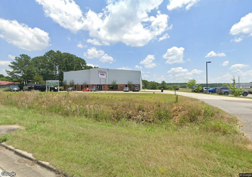
2102 Cherokee Ave SW Cullman, AL 35055
Estimated Value: $1,989,047
--
Bed
--
Bath
32,500
Sq Ft
$61/Sq Ft
Est. Value
About This Home
This home is located at 2102 Cherokee Ave SW, Cullman, AL 35055 and is currently estimated at $1,989,047, approximately $61 per square foot. 2102 Cherokee Ave SW is a home located in Cullman County with nearby schools including Cullman City Primary School, Cullman Middle School, and Cullman High School.
Ownership History
Date
Name
Owned For
Owner Type
Purchase Details
Closed on
Nov 28, 2018
Sold by
Triple J Developers Inc
Bought by
Backstage Venues Llc
Current Estimated Value
Home Financials for this Owner
Home Financials are based on the most recent Mortgage that was taken out on this home.
Original Mortgage
$250,000
Outstanding Balance
$231,485
Interest Rate
8%
Estimated Equity
$1,757,562
Purchase Details
Closed on
Apr 10, 2018
Sold by
Jennifer Hill
Bought by
Triple J Developers Inc
Create a Home Valuation Report for This Property
The Home Valuation Report is an in-depth analysis detailing your home's value as well as a comparison with similar homes in the area
Home Values in the Area
Average Home Value in this Area
Purchase History
| Date | Buyer | Sale Price | Title Company |
|---|---|---|---|
| Backstage Venues Llc | $500 | Tbx Title | |
| Triple J Developers Inc | $490,000 | Griffith Lowry & Meherg Llc |
Source: Public Records
Mortgage History
| Date | Status | Borrower | Loan Amount |
|---|---|---|---|
| Open | Backstage Venues Llc | $250,000 | |
| Open | Backstage Venues Llc | $1,018,660 |
Source: Public Records
Tax History Compared to Growth
Tax History
| Year | Tax Paid | Tax Assessment Tax Assessment Total Assessment is a certain percentage of the fair market value that is determined by local assessors to be the total taxable value of land and additions on the property. | Land | Improvement |
|---|---|---|---|---|
| 2025 | $13,552 | $352,000 | $0 | $0 |
| 2024 | $13,032 | $338,500 | $0 | $0 |
| 2023 | $13,032 | $318,580 | $0 | $0 |
| 2022 | $11,351 | $294,820 | $0 | $0 |
| 2021 | $8,698 | $225,920 | $0 | $0 |
| 2020 | $8,698 | $225,920 | $0 | $0 |
| 2019 | $8,063 | $209,420 | $0 | $0 |
| 2018 | $8,063 | $209,420 | $0 | $0 |
| 2017 | $6,906 | $179,380 | $0 | $0 |
| 2016 | $6,906 | $179,380 | $0 | $0 |
| 2014 | $8,552 | $222,140 | $0 | $0 |
Source: Public Records
Map
Nearby Homes
- .5 Acres County Road 437
- 2036 Larry Ave SW
- 4701 County Road 437 Unit Lot 3
- 4701 County Road 437 Unit Lot 2
- 4701 County Road 437
- 4701 County Road 437 Unit Lot 1
- 4701 County Road 437 Unit Lot 4
- 1109 Swafford Rd SW
- 2106 Dialsdale Dr SW
- 2122 Addison Way SW
- 2124 Addison Way SW
- 2126 Addison Way
- 2128 Addison Way
- 1113 James St SW
- 0 Miller St SW
- The Freeport Plan at Ellsworth
- The Aldridge Plan at Ellsworth
- The Elston Plan at Ellsworth
- The Robie Plan at Ellsworth
- The Taylor Plan at Ellsworth
- 814 Mark St SW
- 808 Mark St SW
- 810 Mark St SW
- 806 Mark St SW
- 314 Mark St SW
- 802 Mark St SW
- 811 Mark St SW
- 807 Mark St SW
- 800 Mark St SW
- 803 Mark St SW
- 812 Mark St SW
- 2037 Mack Ave SW
- 810 Fisher St SW
- 808 Fisher St SW
- 2048 Mack Ave SW
- 2048 Mack Ave SW
- 804 Fisher St SW
- 2044 Mack Ave SW
- 0 Fisher St SW
- 2033 Mack Ave SW