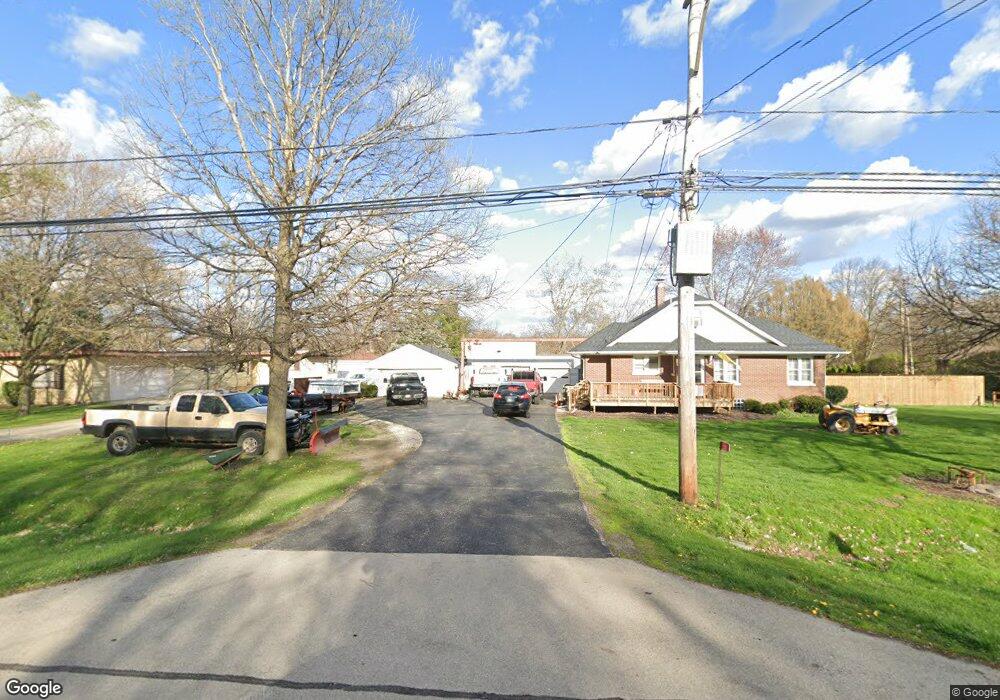
2102 State Route 31 Oswego, IL 60543
Northwest Oswego NeighborhoodEstimated Value: $251,000 - $295,000
--
Bed
1
Bath
--
Sq Ft
0.67
Acres
About This Home
This home is located at 2102 State Route 31, Oswego, IL 60543 and is currently estimated at $281,048. 2102 State Route 31 is a home located in Kendall County with nearby schools including Fox Chase Elementary School, Traughber Junior High School, and Oswego High School.
Ownership History
Date
Name
Owned For
Owner Type
Purchase Details
Closed on
Jan 23, 2020
Sold by
Buczynski Dorothy M and Estate Of Jeffrey R Reinert
Bought by
Reyes Jose R
Current Estimated Value
Home Financials for this Owner
Home Financials are based on the most recent Mortgage that was taken out on this home.
Original Mortgage
$142,500
Outstanding Balance
$126,553
Interest Rate
3.87%
Mortgage Type
New Conventional
Estimated Equity
$154,495
Purchase Details
Closed on
Sep 8, 2011
Sold by
Henning Ingeborg V and Oksas Ingeborg V
Bought by
Reinert Jeffrey
Home Financials for this Owner
Home Financials are based on the most recent Mortgage that was taken out on this home.
Original Mortgage
$100,000
Interest Rate
4.32%
Mortgage Type
New Conventional
Purchase Details
Closed on
May 29, 2002
Sold by
Henning Denslow M and Henning Ingeborg U
Bought by
State Of Illinois
Create a Home Valuation Report for This Property
The Home Valuation Report is an in-depth analysis detailing your home's value as well as a comparison with similar homes in the area
Home Values in the Area
Average Home Value in this Area
Purchase History
| Date | Buyer | Sale Price | Title Company |
|---|---|---|---|
| Reyes Jose R | $150,000 | Chicago Title | |
| Reinert Jeffrey | $149,000 | Chicago Title Insurance Co | |
| State Of Illinois | $19,900 | -- |
Source: Public Records
Mortgage History
| Date | Status | Borrower | Loan Amount |
|---|---|---|---|
| Open | Reyes Jose R | $142,500 | |
| Previous Owner | Reinert Jeffrey | $100,000 |
Source: Public Records
Tax History Compared to Growth
Tax History
| Year | Tax Paid | Tax Assessment Tax Assessment Total Assessment is a certain percentage of the fair market value that is determined by local assessors to be the total taxable value of land and additions on the property. | Land | Improvement |
|---|---|---|---|---|
| 2024 | $5,697 | $77,975 | $14,081 | $63,894 |
| 2023 | $5,405 | $72,199 | $13,038 | $59,161 |
| 2022 | $5,405 | $66,851 | $12,072 | $54,779 |
| 2021 | $5,482 | $65,540 | $11,835 | $53,705 |
| 2020 | $5,476 | $64,891 | $11,718 | $53,173 |
| 2019 | $5,417 | $63,343 | $11,718 | $51,625 |
| 2018 | $5,503 | $61,919 | $11,455 | $50,464 |
| 2017 | $5,406 | $59,537 | $11,014 | $48,523 |
| 2016 | $2,584 | $56,433 | $10,440 | $45,993 |
| 2015 | $2,595 | $54,262 | $10,038 | $44,224 |
| 2014 | -- | $52,175 | $9,652 | $42,523 |
| 2013 | -- | $52,702 | $9,749 | $42,953 |
Source: Public Records
Map
Nearby Homes
- 2110 State Route 31
- 156 River Mist Dr
- 141 River Mist Dr
- 608 Clearwater Ct
- 602 Clearwater Ct Unit 2
- 505 Parkland Ct
- 34 N Adams St
- 1415 State Route 31
- 458 Greenview Ln
- 5055 U S 34
- 125 Presidential Blvd Unit 3248
- 613 Murdock Place
- 388 Danforth Dr
- 423 Hathaway Ln
- 610 Murdock Place
- 611 Murdock Place
- 421 Hathaway Ln
- 170 Chicago Rd
- 2300 Light Rd Unit 209
- 2100 Light Rd Unit 109
- 2102 State Route 31
- 2116 State Route 31
- 2116 Rt 31
- 2060 State Route 31
- 2130 State Route 31
- 2130 State Route 31
- 4810 Mill Rd
- 2105 State Route 31
- 2158 State Route 31
- 4850 Mill Rd
- 4790 Mill Rd
- 2115 State Route 31
- 2159 State Route 31
- 000 Mill Rd
- 160 River Mist Dr
- 4754 Mill Rd
- 162 River Mist Dr
- 2162 State Route 31
- 2165 State Route 31
- 166 River Mist Dr