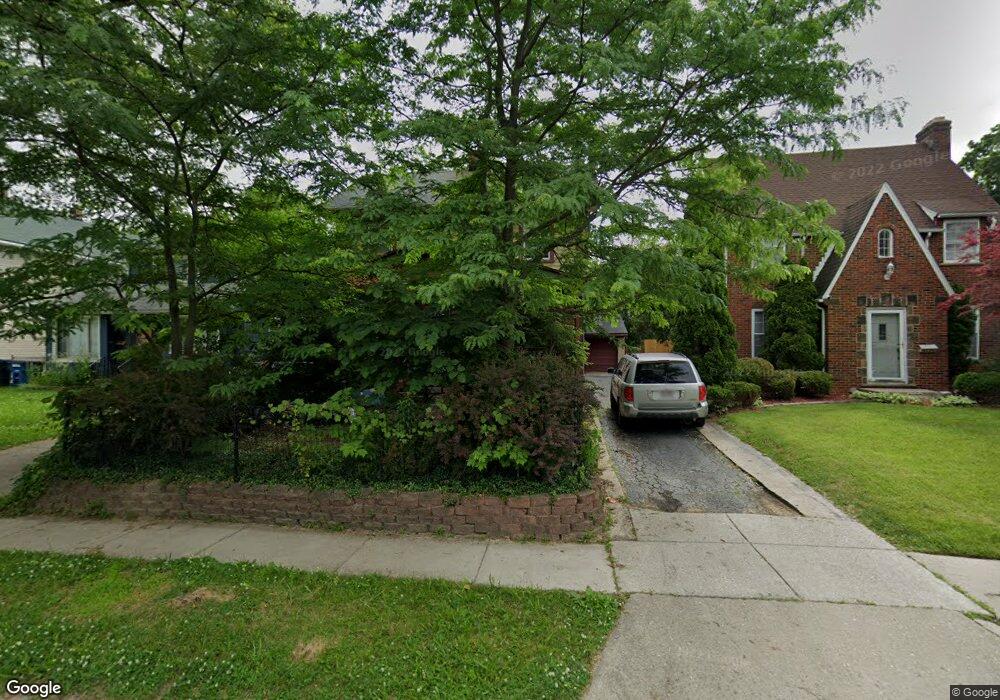
2102 Wyndhurst Rd Toledo, OH 43607
Ottawa NeighborhoodEstimated Value: $105,000 - $128,000
3
Beds
2
Baths
1,552
Sq Ft
$76/Sq Ft
Est. Value
About This Home
This home is located at 2102 Wyndhurst Rd, Toledo, OH 43607 and is currently estimated at $117,332, approximately $75 per square foot. 2102 Wyndhurst Rd is a home located in Lucas County with nearby schools including Old Orchard Elementary School, Start High School, and Central Academy Of Ohio.
Ownership History
Date
Name
Owned For
Owner Type
Purchase Details
Closed on
Aug 16, 2024
Sold by
Ray William Douglas
Bought by
Treichel Martha
Current Estimated Value
Purchase Details
Closed on
Jun 30, 2020
Sold by
Ray William D
Bought by
Ray William Douglas
Purchase Details
Closed on
Feb 3, 1998
Sold by
Ray William A and Ray Patricia L
Bought by
Ray William D
Home Financials for this Owner
Home Financials are based on the most recent Mortgage that was taken out on this home.
Original Mortgage
$37,500
Interest Rate
7.19%
Mortgage Type
Seller Take Back
Purchase Details
Closed on
Jul 15, 1988
Sold by
Ray William D
Purchase Details
Closed on
Mar 8, 1988
Create a Home Valuation Report for This Property
The Home Valuation Report is an in-depth analysis detailing your home's value as well as a comparison with similar homes in the area
Home Values in the Area
Average Home Value in this Area
Purchase History
| Date | Buyer | Sale Price | Title Company |
|---|---|---|---|
| Treichel Martha | $45,000 | None Listed On Document | |
| Ray William Douglas | -- | None Available | |
| Ray William D | -- | -- | |
| -- | $50,000 | -- | |
| -- | -- | -- |
Source: Public Records
Mortgage History
| Date | Status | Borrower | Loan Amount |
|---|---|---|---|
| Previous Owner | Ray William D | $37,500 |
Source: Public Records
Tax History Compared to Growth
Tax History
| Year | Tax Paid | Tax Assessment Tax Assessment Total Assessment is a certain percentage of the fair market value that is determined by local assessors to be the total taxable value of land and additions on the property. | Land | Improvement |
|---|---|---|---|---|
| 2024 | $2,016 | $30,765 | $8,015 | $22,750 |
| 2023 | $1,523 | $23,030 | $5,530 | $17,500 |
| 2022 | $1,525 | $23,030 | $5,530 | $17,500 |
| 2021 | $1,560 | $23,030 | $5,530 | $17,500 |
| 2020 | $1,499 | $19,915 | $4,725 | $15,190 |
| 2019 | $1,457 | $19,915 | $4,725 | $15,190 |
| 2018 | $1,460 | $19,915 | $4,725 | $15,190 |
| 2017 | $1,497 | $19,460 | $4,620 | $14,840 |
| 2016 | $1,495 | $55,600 | $13,200 | $42,400 |
| 2015 | $1,481 | $55,600 | $13,200 | $42,400 |
| 2014 | $1,224 | $19,460 | $4,620 | $14,840 |
| 2013 | $1,224 | $19,460 | $4,620 | $14,840 |
Source: Public Records
Map
Nearby Homes
- 2127 Perth St
- 2547 Greenway St
- 2019 Kensington Rd
- 2003 Farnham Rd
- 1771 Kensington Rd
- 1735 Perth St
- 2041 Richmond Rd
- 1423 Roosevelt Ave
- 2310 Goddard Rd
- 1723 Potomac Dr
- 1329 Parkside Blvd
- 2000 Oakwood Ave
- 2627 Latonia Blvd
- 1929 Foster Ave
- 1513 Waverly Ave
- 2145 Dorr St
- 2334 Torrey Hill Dr
- 2340 Torrey Hill Dr
- 1318 Addington Rd
- 2033 Crosswell Place
- 2064 Wyndhurst Rd
- 2106 Wyndhurst Rd
- 2110 Wyndhurst Rd
- 2062 Wyndhurst Rd
- 2103 Alvin St
- 2115 Alvin St
- 2114 Wyndhurst Rd
- 2101 Alvin St
- 2117 Alvin St
- 2121 Alvin St
- 2059 Alvin St
- 2054 Wyndhurst Rd
- 2118 Wyndhurst Rd
- 2065 Wyndhurst Rd
- 2105 Wyndhurst Rd
- 2123 Alvin St
- 2063 Wyndhurst Rd
- 2109 Wyndhurst Rd
- 2055 Alvin St
- 2057 Wyndhurst Rd