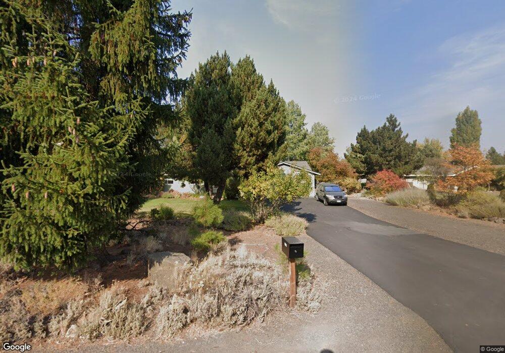
21028 Thomas Dr Bend, OR 97702
Larkspur NeighborhoodEstimated Value: $583,000 - $602,000
3
Beds
2
Baths
1,360
Sq Ft
$435/Sq Ft
Est. Value
About This Home
This home is located at 21028 Thomas Dr, Bend, OR 97702 and is currently estimated at $592,084, approximately $435 per square foot. 21028 Thomas Dr is a home located in Deschutes County with nearby schools including Bear Creek Elementary School, Pilot Butte Middle School, and Bend Senior High School.
Ownership History
Date
Name
Owned For
Owner Type
Purchase Details
Closed on
Mar 19, 2018
Sold by
Henneous Donald L and Henneous Beverly J
Bought by
Henneous Donald L and Henneous Beverly J
Current Estimated Value
Home Financials for this Owner
Home Financials are based on the most recent Mortgage that was taken out on this home.
Original Mortgage
$106,500
Outstanding Balance
$90,508
Interest Rate
4.22%
Mortgage Type
New Conventional
Estimated Equity
$501,576
Purchase Details
Closed on
Mar 14, 2018
Sold by
Henneous Donald L and Henneous Beverly J
Bought by
Henneous Donald L and Henneous Beverly J
Home Financials for this Owner
Home Financials are based on the most recent Mortgage that was taken out on this home.
Original Mortgage
$106,500
Outstanding Balance
$90,508
Interest Rate
4.22%
Mortgage Type
New Conventional
Estimated Equity
$501,576
Purchase Details
Closed on
Nov 3, 2014
Sold by
Henneous Donald L and Henneous Beverly J
Bought by
Donald and Revocabl Henneous Joint Revocabl
Create a Home Valuation Report for This Property
The Home Valuation Report is an in-depth analysis detailing your home's value as well as a comparison with similar homes in the area
Home Values in the Area
Average Home Value in this Area
Purchase History
We collect this data history from publicly available records. To have your information removed, we recommend requesting removal directly through your county’s website.
| Date | Buyer | Sale Price | Title Company |
|---|---|---|---|
| Henneous Donald L | -- | None Listed On Document | |
| Henneous Donald L | -- | First American Title Ins Co | |
| Donald | -- | None Available |
Source: Public Records
Mortgage History
We collect this data history from publicly available records. To have your information removed, we recommend requesting removal directly through your county’s website.
| Date | Status | Borrower | Loan Amount |
|---|---|---|---|
| Open | Henneous Donald L | $106,500 | |
| Closed | Henneous Donald L | $106,500 |
Source: Public Records
Tax History
| Year | Tax Paid | Tax Assessment Tax Assessment Total Assessment is a certain percentage of the fair market value that is determined by local assessors to be the total taxable value of land and additions on the property. | Land | Improvement |
|---|---|---|---|---|
| 2025 | $3,341 | $197,730 | -- | -- |
| 2024 | $3,214 | $191,980 | -- | -- |
| 2023 | $2,980 | $186,390 | $0 | $0 |
| 2022 | $2,780 | $175,700 | $0 | $0 |
| 2021 | $2,784 | $170,590 | $0 | $0 |
| 2020 | $2,642 | $170,590 | $0 | $0 |
| 2019 | $2,568 | $165,630 | $0 | $0 |
| 2018 | $2,496 | $160,810 | $0 | $0 |
| 2017 | $2,423 | $156,130 | $0 | $0 |
| 2016 | $2,310 | $151,590 | $0 | $0 |
| 2015 | $2,246 | $147,180 | $0 | $0 |
| 2014 | $2,180 | $142,900 | $0 | $0 |
Source: Public Records
Map
Nearby Homes
- 131 SE Airpark Dr
- 800 SE Shadowood Dr
- 2241 SE Pilatus Ln
- 61908 Pettigrew Rd
- 927 SE Briarwood Ct
- 61839 Avonlea Cir
- 997 SE Shadowood Dr
- 21190 Darnel Ave
- 21172 Clairaway Ave
- 209 SE Soft Tail Dr
- 217 SE Soft Tail Dr
- 1953 SE Elkwood Ct
- 61984 Pettigrew Rd
- 21177 Ritz Place
- 61683 Daly Estates Dr
- 62017 NE Nate's Place
- 1015 SE Valleywood Place
- 61632 Pettigrew Rd Unit 18
- 61969 SE 27th St
- 1624 SE Bronzewood Ave
- 21020 Thomas Dr
- 21036 Thomas Dr
- 375 SE Soft Tail Loop
- 381 SE Soft Tail Loop
- 369 SE Soft Tail Loop
- 387 SE Soft Tail Loop
- 21044 Thomas Dr
- 21012 SE Thomas Dr
- 21012 Thomas Dr
- 363 SE Soft Tail Loop
- 21031 Thomas Dr
- 21023 Thomas Dr
- 393 SE Soft Tail Loop
- 21041 Thomas Dr
- 357 SE Soft Tail Loop
- 21052 Thomas Dr
- 21004 SE Thomas Dr
- 21004 Thomas Dr
- 380 SE Soft Tail Loop
- 374 SE Soft Tail Loop
Your Personal Tour Guide
Ask me questions while you tour the home.