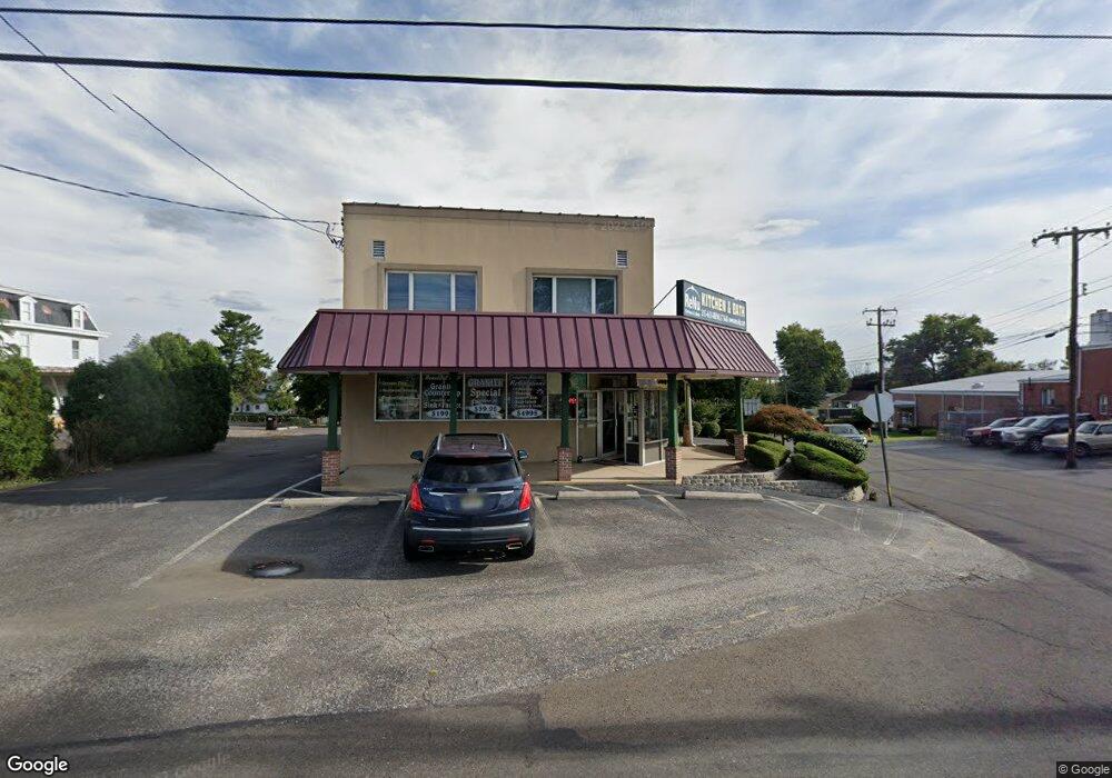
2103 Bristol Pike Bensalem, PA 19020
Estimated Value: $527,562
--
Bed
--
Bath
2,800
Sq Ft
$188/Sq Ft
Est. Value
About This Home
This home is located at 2103 Bristol Pike, Bensalem, PA 19020 and is currently estimated at $527,562, approximately $188 per square foot. 2103 Bristol Pike is a home located in Bucks County with nearby schools including Robert K. Shafer Middle School, School Lane Charter School, and St Charles Borromeo School.
Ownership History
Date
Name
Owned For
Owner Type
Purchase Details
Closed on
Jul 16, 1998
Sold by
Bekes Adelaide M
Bought by
Buck Arthur P
Current Estimated Value
Home Financials for this Owner
Home Financials are based on the most recent Mortgage that was taken out on this home.
Original Mortgage
$126,400
Outstanding Balance
$25,845
Interest Rate
6.99%
Mortgage Type
Commercial
Estimated Equity
$501,717
Purchase Details
Closed on
Jan 26, 1944
Bought by
Bekes Edgar C and Bekes Adelaide H
Create a Home Valuation Report for This Property
The Home Valuation Report is an in-depth analysis detailing your home's value as well as a comparison with similar homes in the area
Home Values in the Area
Average Home Value in this Area
Purchase History
| Date | Buyer | Sale Price | Title Company |
|---|---|---|---|
| Buck Arthur P | $156,400 | -- | |
| Bekes Edgar C | -- | -- |
Source: Public Records
Mortgage History
| Date | Status | Borrower | Loan Amount |
|---|---|---|---|
| Open | Buck Arthur P | $126,400 |
Source: Public Records
Tax History Compared to Growth
Tax History
| Year | Tax Paid | Tax Assessment Tax Assessment Total Assessment is a certain percentage of the fair market value that is determined by local assessors to be the total taxable value of land and additions on the property. | Land | Improvement |
|---|---|---|---|---|
| 2025 | $6,549 | $30,000 | $11,400 | $18,600 |
| 2024 | $6,549 | $30,000 | $11,400 | $18,600 |
| 2023 | $6,364 | $30,000 | $11,400 | $18,600 |
| 2022 | $6,327 | $30,000 | $11,400 | $18,600 |
| 2021 | $6,327 | $30,000 | $11,400 | $18,600 |
| 2020 | $6,264 | $30,000 | $11,400 | $18,600 |
| 2019 | $6,124 | $30,000 | $11,400 | $18,600 |
| 2018 | $5,982 | $30,000 | $11,400 | $18,600 |
| 2017 | $5,944 | $30,000 | $11,400 | $18,600 |
| 2016 | $5,944 | $30,000 | $11,400 | $18,600 |
| 2015 | -- | $30,000 | $11,400 | $18,600 |
| 2014 | -- | $30,000 | $11,400 | $18,600 |
Source: Public Records
Map
Nearby Homes
- 943 Cornwells Ave
- 2209 Dungan Ave
- 1032 Sunset Ln
- 833 Simons Ave
- 2387 Forrest Ave
- 1155 Regina Ave
- 2498 Ogden Ave
- 1742 Paradise Ln
- 2025 State Rd
- 126B Royal Mews
- 113 Royal Mews
- 106A Prince George St Unit A
- 136b Alexandria St
- 4471 Ernie Davis Cir
- 106 Dock St
- 116B King St
- 114B King St
- 120B Dock St
- 1421 Custom House Square
- 204A Dock St
- 971 Cornwells Ave
- 955 Cornwells Ave
- 2119 Bristol Pike
- 949 Cornwells Ave
- 941 Cornwells Ave
- 2133 Bristol Pike
- 2110 Dungan Ave
- 1018 Cornwells Ave
- 931 Cornwells Ave
- 2100 Bristol Pike
- 924 Simons Ave
- 2202 Dungan Ave
- 923 Cornwells Ave
- 1017 Sunset Ln
- 912 Simons Ave
- 932 Cornwells Ave
- 2204 Dungan Ave
- 1032 Cornwells Ave
- 1025 Sunset Ln Unit 1025A
- 917 Cornwells Ave