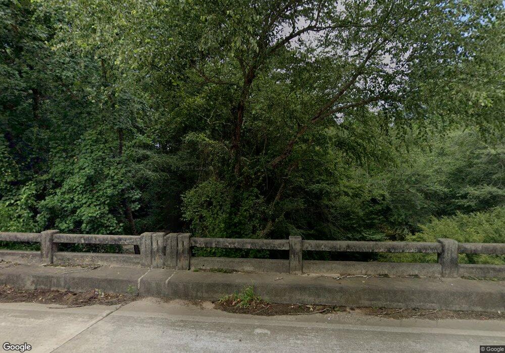
2103 Pulliam Mill Rd NW Dewy Rose, GA 30634
Estimated Value: $326,000 - $443,000
3
Beds
3
Baths
1,678
Sq Ft
$236/Sq Ft
Est. Value
About This Home
This home is located at 2103 Pulliam Mill Rd NW, Dewy Rose, GA 30634 and is currently estimated at $395,197, approximately $235 per square foot. 2103 Pulliam Mill Rd NW is a home located in Elbert County with nearby schools including Elbert County Elementary School, Elbert County Primary School, and Elbert County Middle School.
Ownership History
Date
Name
Owned For
Owner Type
Purchase Details
Closed on
Aug 24, 2016
Sold by
Arthur L
Bought by
King Micheal J and King Kelley B
Current Estimated Value
Home Financials for this Owner
Home Financials are based on the most recent Mortgage that was taken out on this home.
Original Mortgage
$130,000
Outstanding Balance
$59,474
Interest Rate
3.48%
Estimated Equity
$335,723
Purchase Details
Closed on
Jun 7, 2016
Sold by
Hsbc Bank Usa National Ass
Bought by
Lane Arthur
Purchase Details
Closed on
Dec 1, 2015
Sold by
Grimes Ronald B
Bought by
Hsbc Bank Usa National Associa
Create a Home Valuation Report for This Property
The Home Valuation Report is an in-depth analysis detailing your home's value as well as a comparison with similar homes in the area
Home Values in the Area
Average Home Value in this Area
Purchase History
| Date | Buyer | Sale Price | Title Company |
|---|---|---|---|
| King Micheal J | $189,500 | -- | |
| Lane Arthur | $150,779 | -- | |
| Hsbc Bank Usa National Associa | -- | -- |
Source: Public Records
Mortgage History
| Date | Status | Borrower | Loan Amount |
|---|---|---|---|
| Open | King Micheal J | $130,000 |
Source: Public Records
Tax History Compared to Growth
Tax History
| Year | Tax Paid | Tax Assessment Tax Assessment Total Assessment is a certain percentage of the fair market value that is determined by local assessors to be the total taxable value of land and additions on the property. | Land | Improvement |
|---|---|---|---|---|
| 2024 | $2,877 | $141,894 | $27,332 | $114,562 |
| 2023 | $2,874 | $141,894 | $27,332 | $114,562 |
| 2022 | $2,340 | $109,848 | $16,269 | $93,579 |
| 2021 | $2,461 | $109,848 | $16,269 | $93,579 |
| 2020 | $2,450 | $99,689 | $13,015 | $86,674 |
| 2019 | $2,542 | $99,689 | $13,015 | $86,674 |
| 2018 | $2,346 | $99,689 | $13,015 | $86,674 |
| 2017 | $2,009 | $75,468 | $13,015 | $62,453 |
| 2016 | $2,307 | $78,588 | $16,135 | $62,453 |
| 2015 | -- | $78,588 | $16,135 | $62,453 |
| 2014 | -- | $79,113 | $16,135 | $62,978 |
| 2013 | -- | $79,113 | $16,135 | $62,978 |
Source: Public Records
Map
Nearby Homes
- 2110 Cromer Rd Unit GA30
- 2051 Hewell Rd NW
- 0 Cromer Rd
- 0 Fortson Dr
- 2004 Christian Rd
- 0 Pulliam Mill Rd Unit 10586947
- 1504 Woodyard Rd
- 2448 Allen White Rd
- 0 Henry Moon Dr Unit 10452056
- 2061 Hartwell Hwy
- 0 Fork Creek Rd Unit 10616779
- 0 Fork Creek Rd Unit 7659678
- 1 Powerhouse Dr
- 2109 Brewers Mill Rd
- 15 Emmaus Dr
- 5 Emmaus Dr
- 2 Emmaus Dr
- 20 Emmaus Dr
- 14 Emmaus Dr
- 21 Emmaus Dr
- 2131 Pulliam Mill Rd NW
- 2133 Pulliam Mill Rd NW
- 2072 Pulliam Mill Rd NW
- 2179 Pulliam Mill Rd NW
- 2054 Pulliam Mill Rd NW
- 2054 Pulliam Mill Rd NW
- 2039 Pulliam Mill Rd NW
- 2209 Pulliam Mill Rd NW
- 2027 Pulliam Mill Rd NW
- 2007 Pulliam Mill Rd NW
- 2020 Pulliam Mill Rd NW
- 581 Bio Ln
- 0 Calhoun Rd Unit 8435054
- 0 Pullium and Maxwell Mill Rd Unit 4293452
- 0 Pulliam and Maxwell Mill Rd Unit 4293378
- 0 Pullium Mill and Maxwell Mill Rd Unit 5104649
- 0 Pulliam and Maxwell Mill Rd Unit 5110884
- 0000 Pulliam Maxwell Mill Rd
- 0 Calhoun Rd Unit 20097426
- 0 Calhoun Rd Unit 20047517
