Estimated Value: $502,000 - $657,000
3
Beds
2
Baths
2,091
Sq Ft
$282/Sq Ft
Est. Value
About This Home
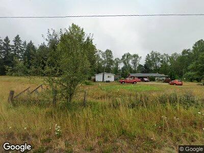
This home is located at 2103 State Route 702 S, Roy, WA 98580 and is currently estimated at $589,843, approximately $282 per square foot. 2103 State Route 702 S is a home located in Pierce County with nearby schools including Roy Elementary School, Cougar Mountain Middle School, and Bethel High School.
Ownership History
Date
Name
Owned For
Owner Type
Purchase Details
Closed on
Sep 20, 2007
Sold by
The Blake & Misdom Trust
Bought by
Campbell Paulene and Campbell Gary
Current Estimated Value
Home Financials for this Owner
Home Financials are based on the most recent Mortgage that was taken out on this home.
Original Mortgage
$187,000
Interest Rate
6.27%
Mortgage Type
Seller Take Back
Create a Home Valuation Report for This Property
The Home Valuation Report is an in-depth analysis detailing your home's value as well as a comparison with similar homes in the area
Home Values in the Area
Average Home Value in this Area
Purchase History
| Date | Buyer | Sale Price | Title Company |
|---|---|---|---|
| Campbell Paulene | $219,764 | None Available |
Source: Public Records
Mortgage History
| Date | Status | Borrower | Loan Amount |
|---|---|---|---|
| Open | Campbell Paulene | $167,000 | |
| Closed | Campbell Paulene | $100,000 | |
| Closed | Campbell Paulene | $75,000 | |
| Closed | Campbell Paulene | $25,000 | |
| Closed | Campbell Paulene | $187,000 |
Source: Public Records
Tax History Compared to Growth
Tax History
| Year | Tax Paid | Tax Assessment Tax Assessment Total Assessment is a certain percentage of the fair market value that is determined by local assessors to be the total taxable value of land and additions on the property. | Land | Improvement |
|---|---|---|---|---|
| 2024 | $6,650 | $624,900 | $327,300 | $297,600 |
| 2023 | $6,650 | $587,100 | $301,100 | $286,000 |
| 2022 | $6,133 | $611,900 | $324,000 | $287,900 |
| 2021 | $5,327 | $392,800 | $177,100 | $215,700 |
| 2019 | $4,112 | $366,000 | $158,400 | $207,600 |
| 2018 | $4,472 | $351,100 | $155,600 | $195,500 |
| 2017 | $3,956 | $302,700 | $125,800 | $176,900 |
| 2016 | $3,825 | $241,600 | $88,200 | $153,400 |
| 2014 | $3,363 | $236,000 | $92,800 | $143,200 |
| 2013 | $3,363 | $211,100 | $85,900 | $125,200 |
Source: Public Records
Map
Nearby Homes
- 2517 342nd St S Unit 12
- 2612 342nd St S Unit 6
- 2616 342nd St S Unit 7
- 2605 341st Street Ct S Unit 23
- 2708 341st Street Ct S Unit 29
- 2705 341st Street Ct S Unit 26
- 35919 8th Ave S
- 36510 31st Ave S
- 34020 40th Ave S
- 119 350th Street Ct E
- 36215 1st Ave S
- 213 358th St E
- 36616 2nd Ave S
- 35311 48th Ave S
- 37919 26th Ave S
- 32010 22nd Ave S
- 34905 10th Avenue Ct E
- 920 336th St E
- 5307 336th St S
- 505 373rd St E
- 2103 State Route 702 S
- 2108 354th Street Ct S
- 2311 352nd St S
- 2114 354th Street Ct S
- 2215 354th Street Ct S
- 2210 354th Street Ct S
- 2210 354th Street Ct S
- 2211 354th Street Ct S
- 35015 23rd Ave S
- 2214 354th Street Ct S
- 2236 354th Street Ct S
- 22 XX 354th Street Ct S
- 22 354th St Ct S
- 35318 24th Avenue Ct S
- 0 354th Street Ct S
- 35618 16th Avenue Ct S
- 35618 16th Avenue Ct S
- 35308 16th Avenue Ct S
- 35505 24th Avenue Ct S
- 0 Hwy 702 # 1 & 2