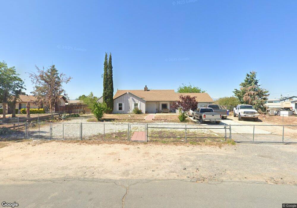
21033 Malibu Rd Apple Valley, CA 92308
High Desert NeighborhoodEstimated Value: $379,000 - $397,000
3
Beds
2
Baths
1,391
Sq Ft
$278/Sq Ft
Est. Value
About This Home
This home is located at 21033 Malibu Rd, Apple Valley, CA 92308 and is currently estimated at $386,561, approximately $277 per square foot. 21033 Malibu Rd is a home located in San Bernardino County with nearby schools including Sandia Elementary School and Apple Valley High School.
Ownership History
Date
Name
Owned For
Owner Type
Purchase Details
Closed on
Mar 20, 2013
Sold by
Pal Holdings Llc
Bought by
King John M
Current Estimated Value
Home Financials for this Owner
Home Financials are based on the most recent Mortgage that was taken out on this home.
Original Mortgage
$117,826
Interest Rate
3.75%
Mortgage Type
FHA
Purchase Details
Closed on
Nov 21, 2012
Sold by
Gallahan Maria G
Bought by
Pal Holdings Llc
Purchase Details
Closed on
Sep 26, 2006
Sold by
Gallahan Maria J
Bought by
Gallahan Haywood E and Gallahan Maria J
Home Financials for this Owner
Home Financials are based on the most recent Mortgage that was taken out on this home.
Original Mortgage
$236,000
Interest Rate
6.53%
Mortgage Type
New Conventional
Purchase Details
Closed on
Jun 21, 2005
Sold by
Gallahan Haywood E
Bought by
Gallahan Haywood E and Gallahan Maria J
Home Financials for this Owner
Home Financials are based on the most recent Mortgage that was taken out on this home.
Original Mortgage
$188,000
Interest Rate
5.65%
Mortgage Type
New Conventional
Purchase Details
Closed on
Aug 21, 2003
Sold by
Herring Lyne A
Bought by
Gallahan Haywood E and Gallahan Maria J
Home Financials for this Owner
Home Financials are based on the most recent Mortgage that was taken out on this home.
Original Mortgage
$96,000
Interest Rate
6.12%
Mortgage Type
Purchase Money Mortgage
Purchase Details
Closed on
Jul 2, 1999
Sold by
Tucker Lloyd G
Bought by
Tucker Martha
Home Financials for this Owner
Home Financials are based on the most recent Mortgage that was taken out on this home.
Original Mortgage
$54,915
Interest Rate
7.51%
Purchase Details
Closed on
Jun 22, 1999
Sold by
Tucker Martha
Bought by
Herring Lyne A
Home Financials for this Owner
Home Financials are based on the most recent Mortgage that was taken out on this home.
Original Mortgage
$54,915
Interest Rate
7.51%
Create a Home Valuation Report for This Property
The Home Valuation Report is an in-depth analysis detailing your home's value as well as a comparison with similar homes in the area
Home Values in the Area
Average Home Value in this Area
Purchase History
| Date | Buyer | Sale Price | Title Company |
|---|---|---|---|
| King John M | $120,000 | Title 365 | |
| Pal Holdings Llc | $77,000 | None Available | |
| Gallahan Haywood E | -- | Accommodation | |
| Gallahan Maria J | -- | North American Title Company | |
| Gallahan Haywood E | -- | First American Title Co | |
| Gallahan Haywood E | $120,000 | Stewart Title Company | |
| Tucker Martha | -- | First American Title Ins Co | |
| Herring Lyne A | $55,000 | First American Title Ins Co |
Source: Public Records
Mortgage History
| Date | Status | Borrower | Loan Amount |
|---|---|---|---|
| Previous Owner | King John M | $117,826 | |
| Previous Owner | Gallahan Maria J | $236,000 | |
| Previous Owner | Gallahan Haywood E | $188,000 | |
| Previous Owner | Gallahan Haywood E | $96,000 | |
| Previous Owner | Herring Lyne A | $54,915 | |
| Closed | Gallahan Haywood E | $24,000 |
Source: Public Records
Tax History Compared to Growth
Tax History
| Year | Tax Paid | Tax Assessment Tax Assessment Total Assessment is a certain percentage of the fair market value that is determined by local assessors to be the total taxable value of land and additions on the property. | Land | Improvement |
|---|---|---|---|---|
| 2025 | $1,759 | $147,771 | $29,553 | $118,218 |
| 2024 | $1,759 | $144,874 | $28,974 | $115,900 |
| 2023 | $8,343 | $142,033 | $28,406 | $113,627 |
| 2022 | $2,578 | $139,248 | $27,849 | $111,399 |
| 2021 | $1,677 | $136,518 | $27,303 | $109,215 |
| 2020 | $2,155 | $135,118 | $27,023 | $108,095 |
| 2019 | $1,950 | $132,468 | $26,493 | $105,975 |
| 2018 | $2,022 | $129,871 | $25,974 | $103,897 |
| 2017 | $1,941 | $127,325 | $25,465 | $101,860 |
| 2016 | $1,479 | $124,829 | $24,966 | $99,863 |
| 2015 | $1,457 | $122,954 | $24,591 | $98,363 |
| 2014 | $1,438 | $120,545 | $24,109 | $96,436 |
Source: Public Records
Map
Nearby Homes
- 20990 Chama Rd
- 21101 Sitkan Rd
- 11911 Kiowa Rd
- 11542 Chimayo Rd
- 21194 Laguna Rd
- 11651 Anza Rd
- 21336 Laguna Rd
- 12185 Kiowa Rd
- 3 Del Oro Rd
- 21133 Multnomah Rd
- 21215 Multnomah Rd
- 11995 Jamacha Rd
- 11414 Serra Rd Unit 76
- 11414 Serra Rd Unit 36
- 11414 Serra Rd Unit 73
- 10350 Merino Ave
- 65 Kiowa Place
- 21109 Sioux Rd
- 11550 Itoya Vista St
- 21621 Sandia Rd Unit 71
- 21043 Malibu Rd
- 11815 Pecos Rd
- 21018 Sandia Rd
- 11743 Chimayo Rd
- 21006 Sandia Rd
- 21057 Malibu Rd
- 11803 Pecos Rd
- 21030 Sandia Rd
- 11721 Chimayo Rd
- 21040 Malibu Rd
- 21050 Sandia Rd
- 11810 Pecos Rd
- 11709 Chimayo Rd
- 11816 Pecos Rd
- 21073 Malibu Rd
- 21066 Malibu Rd
- 11802 Pecos Rd
- 11824 Pecos Rd
- 11839 Pecos Rd
- 21085 Malibu Rd