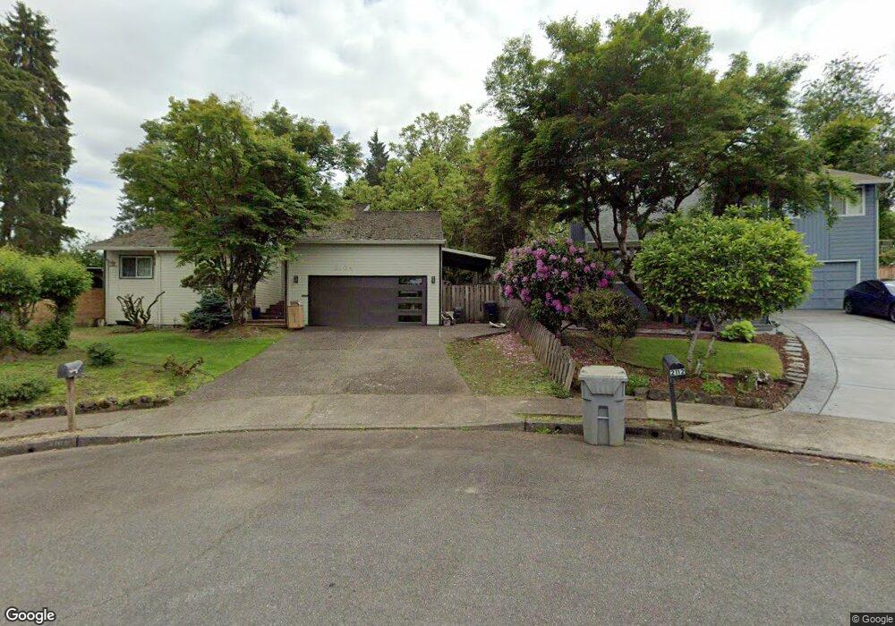
2104 18th St West Linn, OR 97068
Willamette NeighborhoodEstimated Value: $603,000 - $660,000
4
Beds
3
Baths
1,914
Sq Ft
$327/Sq Ft
Est. Value
About This Home
This home is located at 2104 18th St, West Linn, OR 97068 and is currently estimated at $625,315, approximately $326 per square foot. 2104 18th St is a home located in Clackamas County with nearby schools including Willamette Primary School, Athey Creek Middle School, and West Linn High School.
Ownership History
Date
Name
Owned For
Owner Type
Purchase Details
Closed on
Jul 8, 2003
Sold by
Taylor William S and Taylor Nancy A
Bought by
Whitbey Wayne A and Whitbey Lora L
Current Estimated Value
Home Financials for this Owner
Home Financials are based on the most recent Mortgage that was taken out on this home.
Original Mortgage
$180,000
Outstanding Balance
$75,120
Interest Rate
5.13%
Mortgage Type
Purchase Money Mortgage
Estimated Equity
$550,195
Create a Home Valuation Report for This Property
The Home Valuation Report is an in-depth analysis detailing your home's value as well as a comparison with similar homes in the area
Home Values in the Area
Average Home Value in this Area
Purchase History
| Date | Buyer | Sale Price | Title Company |
|---|---|---|---|
| Whitbey Wayne A | $225,000 | Transnation |
Source: Public Records
Mortgage History
| Date | Status | Borrower | Loan Amount |
|---|---|---|---|
| Open | Whitbey Wayne A | $180,000 | |
| Closed | Whitbey Wayne A | $38,300 |
Source: Public Records
Tax History Compared to Growth
Tax History
| Year | Tax Paid | Tax Assessment Tax Assessment Total Assessment is a certain percentage of the fair market value that is determined by local assessors to be the total taxable value of land and additions on the property. | Land | Improvement |
|---|---|---|---|---|
| 2025 | $5,989 | $310,764 | -- | -- |
| 2024 | $5,765 | $301,713 | -- | -- |
| 2023 | $5,765 | $292,926 | $0 | $0 |
| 2022 | $5,441 | $284,395 | $0 | $0 |
| 2021 | $5,165 | $276,112 | $0 | $0 |
| 2020 | $5,200 | $268,070 | $0 | $0 |
| 2019 | $4,959 | $260,263 | $0 | $0 |
| 2018 | $4,738 | $252,683 | $0 | $0 |
| 2017 | $4,554 | $245,323 | $0 | $0 |
| 2016 | $4,433 | $238,178 | $0 | $0 |
| 2015 | $4,096 | $231,241 | $0 | $0 |
| 2014 | $3,917 | $224,506 | $0 | $0 |
Source: Public Records
Map
Nearby Homes
- 1925 Hillhouse Dr
- 1733 Jamie Cir
- 1160 Blankenship Rd
- 2026 Virginia Ln
- 975 Springtree Ln
- 1791 Blankenship Rd
- 880 Springtree Ln Unit 880
- 1721 Dollar St Unit 1721
- 850 Springtree Ln Unit 850
- 800 Springtree Ln
- 640 Springtree Ln
- 1931 13th St
- 1765 Ostman Rd
- 1694 16th St
- 1101 Ryan Ct
- 1690 16th St
- 1075 Epperly Way
- 3565 Summerlinn Dr Unit 64
- 3850 Summerlinn Dr Unit 58
- 3395 Summerlinn Dr Unit 24