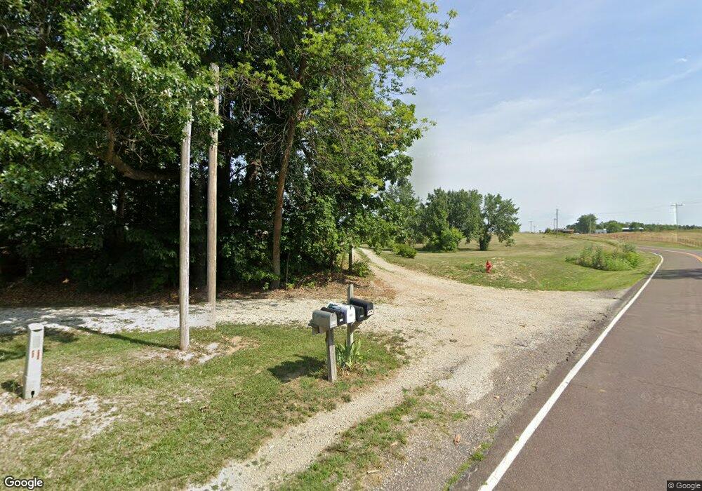
2105 E Route M Hartsburg, MO 65039
Estimated Value: $317,000 - $530,977
3
Beds
2
Baths
1,258
Sq Ft
$356/Sq Ft
Est. Value
About This Home
This home is located at 2105 E Route M, Hartsburg, MO 65039 and is currently estimated at $447,992, approximately $356 per square foot. 2105 E Route M is a home located in Boone County with nearby schools including Southern Boone Primary School, Southern Boone Elementary School, and Southern Boone Middle School.
Ownership History
Date
Name
Owned For
Owner Type
Purchase Details
Closed on
Oct 4, 2016
Sold by
Reeder John L
Bought by
Sapp Lonnie Ray and Sapp Sharon Jean
Current Estimated Value
Create a Home Valuation Report for This Property
The Home Valuation Report is an in-depth analysis detailing your home's value as well as a comparison with similar homes in the area
Home Values in the Area
Average Home Value in this Area
Purchase History
| Date | Buyer | Sale Price | Title Company |
|---|---|---|---|
| Sapp Lonnie Ray | -- | None Available |
Source: Public Records
Tax History Compared to Growth
Tax History
| Year | Tax Paid | Tax Assessment Tax Assessment Total Assessment is a certain percentage of the fair market value that is determined by local assessors to be the total taxable value of land and additions on the property. | Land | Improvement |
|---|---|---|---|---|
| 2025 | $1,518 | $23,914 | $6,979 | $16,935 |
| 2024 | $1,518 | $21,995 | $6,979 | $15,016 |
| 2023 | $1,517 | $21,995 | $6,979 | $15,016 |
| 2022 | $1,419 | $20,570 | $6,979 | $13,591 |
| 2021 | $1,416 | $20,570 | $6,979 | $13,591 |
| 2020 | $1,330 | $19,247 | $6,979 | $12,268 |
| 2019 | $1,330 | $19,247 | $6,979 | $12,268 |
| 2018 | $1,171 | $0 | $0 | $0 |
| 2017 | $1,172 | $19,247 | $6,979 | $12,268 |
| 2016 | $1,097 | $18,010 | $7,025 | $10,985 |
| 2015 | $1,083 | $18,010 | $7,025 | $10,985 |
| 2014 | $1,099 | $18,188 | $7,203 | $10,985 |
Source: Public Records
Map
Nearby Homes
- 3 Hwy M Hwy
- 1175 E Calvin Dr
- 16055 S J D Sapp Rd
- 16000 S J D Sapp Rd
- 1300 E Fox Hollow Rd
- 3900 E Webster Rd
- LOT 3 E Cedar Tree Ln
- 31212 E Webster Rd
- 0 S 40 Acres M L Jemerson Creek Rd Unit 416447
- 1601 E State Highway Mm
- 0 E State Highway Mm
- 4535 Lucy Ln
- 15235 Amendment Rd
- 15245 Amendment Rd
- 15275 Amendment Rd
- 15335 Amendment Rd
- 15295 Amendment Rd
- 15315 Amendment Rd
- 15160 General Dr
- 4650 Rebellion Ln
- 2105 E Route M
- 0 E Route M
- TR 2 E Route M
- TR 1 E Route M
- 725 E Route M
- 1901 E Route M
- 2375 E Route M
- 1872 E Calvin Dr
- 1856 E Calvin Dr
- 1880 E Route M
- 2121 E Route M
- 2400 E Cedar Tree Ln Unit E
- 1860 E Route M
- 2200 E Route M
- 2201 E Route M
- 05 Hwy M
- 2380 E Cedar Tree Ln
- 1701 E Calvin Dr
- 2350 E Cedar Tree Ln
- LOT 2 S Hunter Hills
