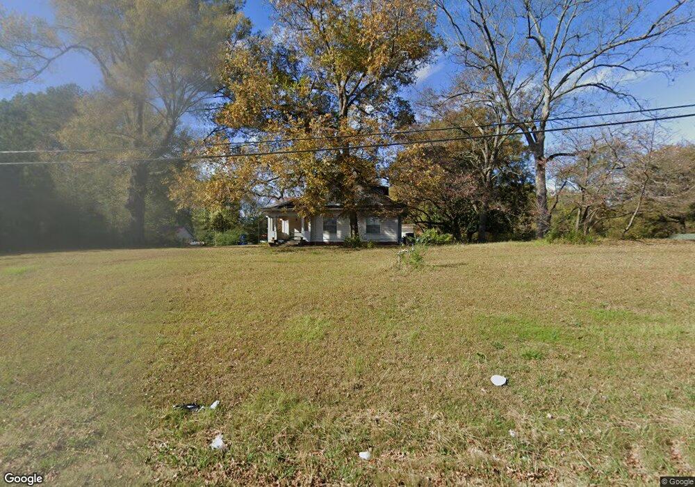
2105 Highway 51 S Hernando, MS 38632
Estimated Value: $343,000 - $600,000
4
Beds
--
Bath
2,905
Sq Ft
$148/Sq Ft
Est. Value
About This Home
This home is located at 2105 Highway 51 S, Hernando, MS 38632 and is currently estimated at $428,783, approximately $147 per square foot. 2105 Highway 51 S is a home located in DeSoto County with nearby schools including Oak Grove Central Elementary School, Hernando Elementary School, and Hernando Hills Elementary.
Ownership History
Date
Name
Owned For
Owner Type
Purchase Details
Closed on
Jul 28, 2023
Sold by
1912 Enterprises Llc
Bought by
Tippitt John Michael
Current Estimated Value
Purchase Details
Closed on
Dec 31, 2013
Sold by
O W Hardin Family Business Llc
Bought by
Tippitt John Michael
Home Financials for this Owner
Home Financials are based on the most recent Mortgage that was taken out on this home.
Original Mortgage
$220,268
Interest Rate
4.25%
Mortgage Type
Future Advance Clause Open End Mortgage
Purchase Details
Closed on
Sep 14, 2009
Sold by
Hardin James
Bought by
Hardin Danny E
Create a Home Valuation Report for This Property
The Home Valuation Report is an in-depth analysis detailing your home's value as well as a comparison with similar homes in the area
Home Values in the Area
Average Home Value in this Area
Purchase History
| Date | Buyer | Sale Price | Title Company |
|---|---|---|---|
| Tippitt John Michael | -- | None Listed On Document | |
| Tippitt John Michael | -- | None Available | |
| Hardin Danny E | -- | None Available |
Source: Public Records
Mortgage History
| Date | Status | Borrower | Loan Amount |
|---|---|---|---|
| Previous Owner | Tippitt John Michael | $220,268 |
Source: Public Records
Tax History
| Year | Tax Paid | Tax Assessment Tax Assessment Total Assessment is a certain percentage of the fair market value that is determined by local assessors to be the total taxable value of land and additions on the property. | Land | Improvement |
|---|---|---|---|---|
| 2025 | $2,796 | $26,571 | $3,120 | $23,451 |
| 2024 | $2,362 | $19,189 | $3,120 | $16,069 |
| 2023 | $2,362 | $19,189 | $0 | $0 |
| 2022 | $2,362 | $19,189 | $3,120 | $16,069 |
| 2021 | $2,201 | $18,030 | $3,120 | $14,910 |
| 2020 | $2,036 | $16,836 | $0 | $0 |
| 2019 | $2,036 | $16,836 | $3,120 | $13,716 |
| 2017 | $1,938 | $28,982 | $16,051 | $12,931 |
| 2016 | $1,764 | $13,201 | $3,120 | $10,081 |
| 2015 | $1,764 | $23,282 | $13,201 | $10,081 |
| 2014 | $1,722 | $13,201 | $0 | $0 |
| 2013 | $1,722 | $13,201 | $0 | $0 |
Source: Public Records
Map
Nearby Homes
- 2035 Highway 51 S
- 5 W Commerce St
- 120 N Parkway St
- 1770 Robertson Place Dr
- 136 N Parkway St
- 1767 Robertson Place Dr
- 186 E South St
- 1757 Robertson Place Dr
- 270 Gaslight Cove
- 69 Lake Pointe Dr
- 509 Howell Way
- 1280 S Lake Dr
- 1207 Howell Way
- 1 E Oak Grove Rd
- 2833 Mount Pleasant S
- 521 Abey Ln
- 1231 Cross Creek Dr E
- 470 Beacon Hill Dr
- 1107 Sabrina Dr
- 665 Cedar Grove Cove
- 2128 Gale Cove
- 2110 Gale Cove
- 385 Gale St
- 2144 Gale Cove
- 2165 Highway 51 S
- 2165 Highway 51 S
- 356 Gale St
- 354 W Robinson St
- 374 W Robinson St
- 378 Gale St
- 340 W Robinson St
- 2050 Us-51 Unit B
- 2050 Us-51
- 2151 Gale Cove
- 394 Gale St
- 390 W Robinson St
- 2050 Highway 51 S
- 2050 Highway 51 S
- 2125 Gale Cove
- 2105 Gale Cove
Your Personal Tour Guide
Ask me questions while you tour the home.