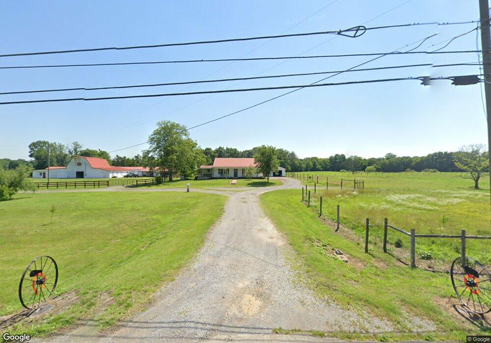
2105 Highway 64 W Shelbyville, TN 37160
Estimated Value: $411,000 - $546,000
--
Bed
2
Baths
1,116
Sq Ft
$433/Sq Ft
Est. Value
About This Home
This home is located at 2105 Highway 64 W, Shelbyville, TN 37160 and is currently estimated at $483,750, approximately $433 per square foot. 2105 Highway 64 W is a home located in Bedford County with nearby schools including Liberty Elementary School.
Ownership History
Date
Name
Owned For
Owner Type
Purchase Details
Closed on
Oct 15, 2013
Sold by
Smith Alice
Bought by
Cobble Thomas and Cobble Kristin
Current Estimated Value
Purchase Details
Closed on
Aug 5, 1999
Sold by
Jones Orion L
Bought by
Smith Harold and Smith Alice
Purchase Details
Closed on
Dec 11, 1997
Bought by
Mcdaniel Billy L and Mcdaniel Bobbie
Purchase Details
Closed on
Nov 25, 1997
Bought by
Jones Orion L
Purchase Details
Closed on
Jun 20, 1977
Bought by
Sircy Jerry Mack and Sircy Betty A
Create a Home Valuation Report for This Property
The Home Valuation Report is an in-depth analysis detailing your home's value as well as a comparison with similar homes in the area
Home Values in the Area
Average Home Value in this Area
Purchase History
| Date | Buyer | Sale Price | Title Company |
|---|---|---|---|
| Cobble Thomas | $160,000 | -- | |
| Smith Harold | $215,000 | -- | |
| Mcdaniel Billy L | $3,000 | -- | |
| Jones Orion L | $184,000 | -- | |
| Sircy Jerry Mack | -- | -- |
Source: Public Records
Tax History Compared to Growth
Tax History
| Year | Tax Paid | Tax Assessment Tax Assessment Total Assessment is a certain percentage of the fair market value that is determined by local assessors to be the total taxable value of land and additions on the property. | Land | Improvement |
|---|---|---|---|---|
| 2025 | $1,044 | $44,900 | $0 | $0 |
| 2024 | $1,044 | $44,900 | $11,575 | $33,325 |
| 2023 | $1,044 | $44,900 | $11,575 | $33,325 |
| 2022 | $1,044 | $44,900 | $11,575 | $33,325 |
| 2021 | $882 | $44,900 | $11,575 | $33,325 |
| 2020 | $1,111 | $44,900 | $11,575 | $33,325 |
| 2019 | $1,111 | $41,775 | $10,300 | $31,475 |
| 2018 | $1,069 | $41,775 | $10,300 | $31,475 |
| 2017 | $1,069 | $41,775 | $10,300 | $31,475 |
| 2016 | $1,053 | $41,775 | $0 | $0 |
| 2015 | $1,053 | $41,775 | $0 | $0 |
| 2014 | $902 | $39,755 | $0 | $0 |
Source: Public Records
Map
Nearby Homes
- 2028 Highway 64 W
- 2154 Highway 64 W
- 0 Henderson Rd
- 245 Henslee Rd
- 163 Gant Rd
- 0 Sims Rd
- 0 Pass Rd
- 8 Mount Lebanon Church Rd
- 5 Mount Lebanon Church Rd
- 6 Mount Lebanon Church Rd
- 320 Pass Rd
- 422 Bethlehem Church Rd
- 344 Whitaker Rd
- 1851 Warner Bridge Rd
- 4 Pass Rd
- 6 Pass Rd
- 2 Pass Rd
- 3 Pass Rd
- 5 Pass Rd
- 0 Bethlehem Church Rd
- 2114 Highway 64 W
- 2111 Highway 64
- 2122 Highway 64 W
- 2110 Highway 64 W
- 2110 Highway 64 W
- 2101 Highway 64 W
- 2111 Tennessee 64
- 0 Hwy 64w Unit 1952507
- 0 Hwy 64w Unit 1952204
- 0 Hwy 64w Unit 1819244
- 2134 Highway 64 W
- 2003 Highway 64 W
- 2136 Tennessee 64
- 2136 Highway 64 W
- 2136 Highway 64 W
- 2139 Highway 64 W
- 2142 Highway 64 W
- 2164 2164 W
- 2016 Tennessee 64
- 2148 Highway 64 W