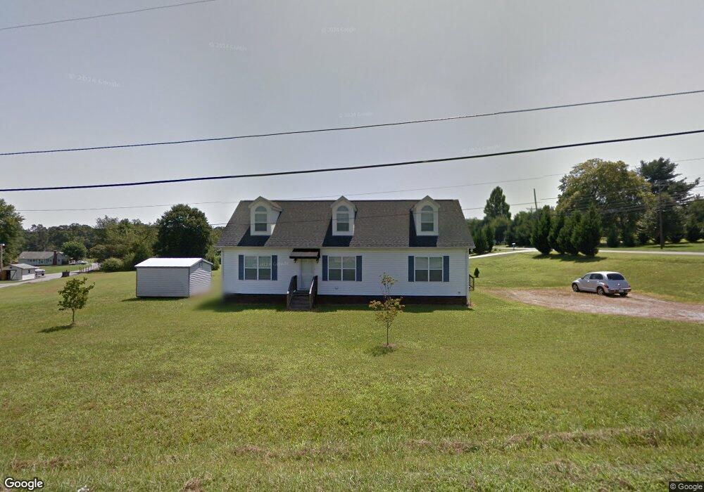
2105 Wall St Morganton, NC 28655
Estimated Value: $159,000 - $277,000
3
Beds
2
Baths
1,456
Sq Ft
$161/Sq Ft
Est. Value
About This Home
This home is located at 2105 Wall St, Morganton, NC 28655 and is currently estimated at $234,667, approximately $161 per square foot. 2105 Wall St is a home located in Burke County with nearby schools including Drexel Elementary School, Heritage Middle School, and Jimmy C. Draughn High School.
Ownership History
Date
Name
Owned For
Owner Type
Purchase Details
Closed on
Jan 25, 2006
Sold by
M T Keys Inc
Bought by
Landers Betty M
Current Estimated Value
Home Financials for this Owner
Home Financials are based on the most recent Mortgage that was taken out on this home.
Original Mortgage
$16,300
Interest Rate
6.14%
Mortgage Type
New Conventional
Create a Home Valuation Report for This Property
The Home Valuation Report is an in-depth analysis detailing your home's value as well as a comparison with similar homes in the area
Home Values in the Area
Average Home Value in this Area
Purchase History
| Date | Buyer | Sale Price | Title Company |
|---|---|---|---|
| Landers Betty M | $15,000 | None Available |
Source: Public Records
Mortgage History
| Date | Status | Borrower | Loan Amount |
|---|---|---|---|
| Closed | Landers Betty M | $16,300 |
Source: Public Records
Tax History
| Year | Tax Paid | Tax Assessment Tax Assessment Total Assessment is a certain percentage of the fair market value that is determined by local assessors to be the total taxable value of land and additions on the property. | Land | Improvement |
|---|---|---|---|---|
| 2025 | $1,190 | $167,601 | $12,513 | $155,088 |
| 2024 | $1,194 | $167,601 | $12,513 | $155,088 |
| 2023 | $1,194 | $167,601 | $12,513 | $155,088 |
| 2022 | $951 | $112,407 | $11,375 | $101,032 |
| 2021 | $945 | $112,407 | $11,375 | $101,032 |
| 2020 | $941 | $112,407 | $11,375 | $101,032 |
| 2019 | $941 | $112,407 | $11,375 | $101,032 |
| 2018 | $903 | $107,503 | $11,375 | $96,128 |
| 2017 | $901 | $107,503 | $11,375 | $96,128 |
| 2016 | $880 | $107,503 | $11,375 | $96,128 |
| 2015 | $877 | $107,503 | $11,375 | $96,128 |
| 2014 | $875 | $107,503 | $11,375 | $96,128 |
| 2013 | $875 | $107,503 | $11,375 | $96,128 |
Source: Public Records
Map
Nearby Homes
- 1919 Highway 70 E
- 1855 Eastbrook Cir
- 2088 E Winds Ave
- 2169 E Winds Ave
- 2290 U S 70
- 2491 Watts St
- 2986 Green Pasture Ln
- 350 Summers Rd
- 761 Amherst Rd
- 0 Amherst Rd
- 2715 Moose Lodge St
- 102 Bayern Crest Unit 6
- 2501 US 70 E
- 0 Buford Dr
- 976 Amherst Rd
- 1307 E Union St
- 2269 Drexel Heights St
- 108 Ones Branch Ct
- 731 Summers Rd
- 203 Heritage Ln
- 2091 Wall St
- 2081 Wall St
- 101 Green Fields Ln
- 1960 Baird Circle Dr
- 1975 Us 70 E
- 100 Green Fields Ln
- 2061 Wall St
- 102 Green Fields Ln
- 1968 Us 70 E Unit 1970
- 2050 Eastbrook Cir
- 1979 Us 70 E
- 1979 Us 70 E
- 104 Green Fields Ln
- 2097 Wall St
- 2055 Eastbrook Cir
- 1978 Us 70 E
- 1966 Us 70 E
- 105 Green Fields Ln
- 1982 Us 70 E
- 1985 Us 70 E
Your Personal Tour Guide
Ask me questions while you tour the home.