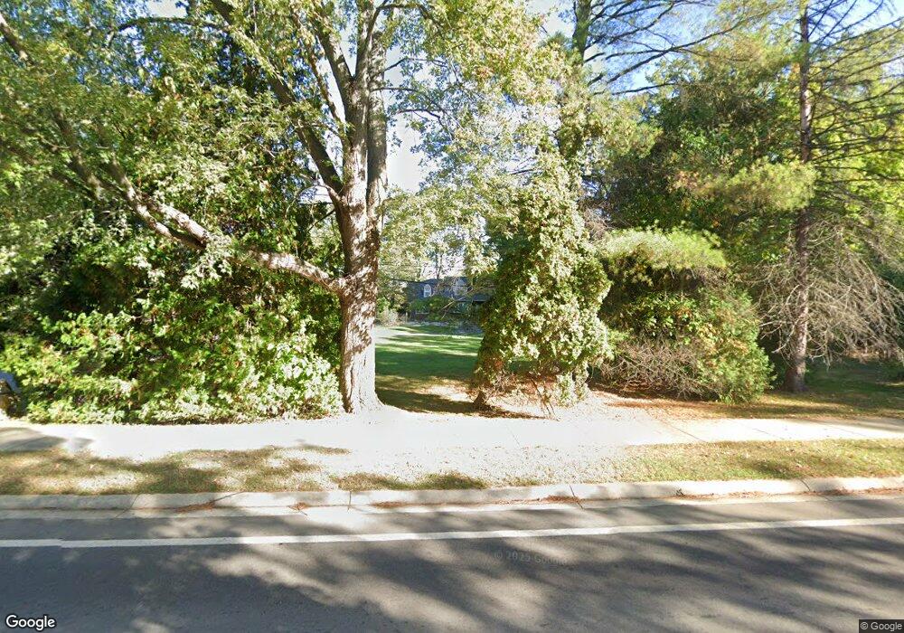
21050 W 14 Mile Rd Bloomfield, MI 48301
Estimated Value: $993,000 - $1,228,000
4
Beds
4
Baths
4,204
Sq Ft
$260/Sq Ft
Est. Value
About This Home
This home is located at 21050 W 14 Mile Rd, Bloomfield, MI 48301 and is currently estimated at $1,091,669, approximately $259 per square foot. 21050 W 14 Mile Rd is a home located in Oakland County with nearby schools including Pierce Elementary School, Ernest W. Seaholm High School, and Beverly Hills Academy.
Ownership History
Date
Name
Owned For
Owner Type
Purchase Details
Closed on
Mar 4, 2022
Sold by
Garavaglia Michael L and Garavaglia Lisa M
Bought by
Bender Jamieson
Current Estimated Value
Home Financials for this Owner
Home Financials are based on the most recent Mortgage that was taken out on this home.
Original Mortgage
$641,250
Outstanding Balance
$517,472
Interest Rate
3.15%
Mortgage Type
New Conventional
Estimated Equity
$574,197
Purchase Details
Closed on
Jul 24, 2000
Sold by
Williams Roger K
Bought by
Garavaglia Michael L
Create a Home Valuation Report for This Property
The Home Valuation Report is an in-depth analysis detailing your home's value as well as a comparison with similar homes in the area
Home Values in the Area
Average Home Value in this Area
Purchase History
| Date | Buyer | Sale Price | Title Company |
|---|---|---|---|
| Bender Jamieson | $855,000 | Capital Title | |
| Garavaglia Michael L | $425,000 | -- |
Source: Public Records
Mortgage History
| Date | Status | Borrower | Loan Amount |
|---|---|---|---|
| Open | Bender Jamieson | $641,250 |
Source: Public Records
Tax History Compared to Growth
Tax History
| Year | Tax Paid | Tax Assessment Tax Assessment Total Assessment is a certain percentage of the fair market value that is determined by local assessors to be the total taxable value of land and additions on the property. | Land | Improvement |
|---|---|---|---|---|
| 2024 | $7,854 | $377,690 | $0 | $0 |
| 2023 | $7,791 | $371,840 | $0 | $0 |
| 2022 | $6,244 | $307,430 | $0 | $0 |
| 2021 | $6,296 | $297,540 | $0 | $0 |
| 2020 | $3,543 | $296,460 | $0 | $0 |
| 2019 | $6,286 | $269,560 | $0 | $0 |
| 2018 | $6,239 | $250,240 | $0 | $0 |
| 2017 | $6,235 | $241,520 | $0 | $0 |
| 2016 | $6,269 | $229,780 | $0 | $0 |
| 2015 | -- | $208,740 | $0 | $0 |
| 2014 | -- | $173,250 | $0 | $0 |
| 2011 | -- | $159,840 | $0 | $0 |
Source: Public Records
Map
Nearby Homes
- 1850 Orchard Ln
- 21850 Dover Ct Unit 7
- 7244 Lahser Rd
- 2721 Heathfield Rd
- 786 S Cranbrook Rd
- 32326 Spruce Ln Unit 31
- 2802 Heathfield Rd
- 22025 Orchard Way
- 7400 Melody Ln
- 2330 Fairway Dr
- 3627 Middlebury Ln
- 6727 Lahser Rd
- 421 S Williamsbury Rd
- 231 Wadsworth Ln
- 32533 Robinhood Dr
- 19905 Beverly Rd
- 6580 Red Maple Ln
- 397 S Cranbrook Rd
- 6560 Red Maple Ln
- 100 Overhill Rd
- 21050 W 14 Mile Rd
- 21000 W 14 Mile Rd
- 1925 Forest Ln
- 1940 Cedar Hill Dr
- 1970 Cedar Hill Dr
- 1910 Cedar Hill Dr
- 21055 W 14 Mile Rd
- 20999 W 14 Mile Rd
- 21105 W 14 Mile Rd
- 1709 Forest Ln
- 32889 Bassett Ct
- 21220 W 14 Mile Rd
- 32889 Bassett Woods Ct
- 21220 Fourteen Mile Rd
- 1860 Cedar Hill Dr
- 21105 Fourteen Mile
- 20999 W Fourteen Mile Rd
- 1939 Cedar Hill Dr
- 32867 Bassett
- 32867 Bassett Ct