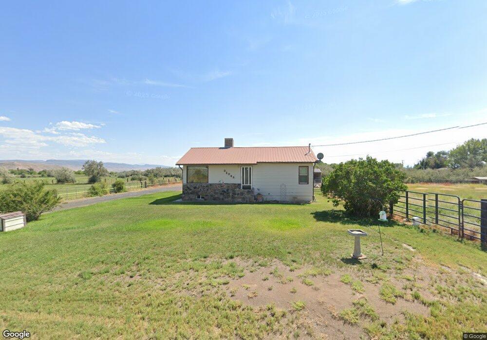
21066 Kaiser Rd Austin, CO 81410
Estimated Value: $352,000 - $446,000
2
Beds
2
Baths
1,324
Sq Ft
$302/Sq Ft
Est. Value
About This Home
This home is located at 21066 Kaiser Rd, Austin, CO 81410 and is currently estimated at $400,235, approximately $302 per square foot. 21066 Kaiser Rd is a home located in Delta County with nearby schools including Cedaredge Elementary School, Cedaredge Middle School, and Cedaredge High School.
Ownership History
Date
Name
Owned For
Owner Type
Purchase Details
Closed on
Mar 17, 2014
Sold by
Iacovetto Gary L and Iacovetto Sandra L
Bought by
Iacovetto Gary L and Iacoveto Sandra L
Current Estimated Value
Purchase Details
Closed on
Aug 29, 2011
Sold by
Paterson Cheryl B and Paterson Cameron
Bought by
Iacovetto Gary L and Castle Sandra L
Home Financials for this Owner
Home Financials are based on the most recent Mortgage that was taken out on this home.
Original Mortgage
$205,000
Outstanding Balance
$142,246
Interest Rate
4.54%
Mortgage Type
VA
Estimated Equity
$257,989
Purchase Details
Closed on
Aug 5, 2011
Sold by
Pollock Wanda L
Bought by
Paterson Cheryl B and Paterson Cameron
Home Financials for this Owner
Home Financials are based on the most recent Mortgage that was taken out on this home.
Original Mortgage
$205,000
Outstanding Balance
$142,246
Interest Rate
4.54%
Mortgage Type
VA
Estimated Equity
$257,989
Create a Home Valuation Report for This Property
The Home Valuation Report is an in-depth analysis detailing your home's value as well as a comparison with similar homes in the area
Purchase History
| Date | Buyer | Sale Price | Title Company |
|---|---|---|---|
| Iacovetto Gary L | -- | None Available | |
| Iacovetto Gary L | $205,000 | Land Title Guarantee Company | |
| Paterson Cheryl B | -- | Land Title Guarantee Company |
Source: Public Records
Mortgage History
| Date | Status | Borrower | Loan Amount |
|---|---|---|---|
| Open | Iacovetto Gary L | $205,000 |
Source: Public Records
Tax History
| Year | Tax Paid | Tax Assessment Tax Assessment Total Assessment is a certain percentage of the fair market value that is determined by local assessors to be the total taxable value of land and additions on the property. | Land | Improvement |
|---|---|---|---|---|
| 2024 | $1,750 | $20,684 | $3,696 | $16,988 |
| 2023 | $1,750 | $20,684 | $3,696 | $16,988 |
| 2022 | $1,576 | $18,358 | $4,344 | $14,014 |
| 2021 | $1,578 | $18,887 | $4,469 | $14,418 |
| 2020 | $1,431 | $16,194 | $4,469 | $11,725 |
| 2019 | $1,396 | $16,194 | $4,469 | $11,725 |
| 2018 | $970 | $11,982 | $4,500 | $7,482 |
| 2017 | $942 | $11,982 | $4,500 | $7,482 |
| 2016 | $856 | $11,647 | $5,373 | $6,274 |
| 2014 | -- | $14,148 | $5,970 | $8,178 |
Source: Public Records
Map
Nearby Homes
- 10053 2100 Rd
- 10465 2100 Rd
- 10487 2100 Rd
- 20795 Vista Grande Dr
- 10344 Kings View Rd
- 9940 2150 Rd
- 20996 Fairview Rd
- 21568 Austin Rd
- 10712 Mesa View Dr
- 9808 Colorado 65
- 20028 Justice Rd
- 20015 Kenosha Rd
- 10081 Highway 65
- TBD Fairview Rd Unit Residential Land
- TBD Fairview Rd Unit Commercial Land
- 9969 Kremmling Rd
- TBD Fairview (2007 Rd) Rd
- 20224 Lilac Ln
- 8555 Coffey Rd
- 19922 Jay Rd
- 0 Kaiser Rd
- 0 Kaiser Rd Unit 609431
- 0 Kaiser Rd Unit 660289
- 0 Kaiser Rd Unit 637199
- 10021 2100 Rd
- 20979 Jarvis Rd
- 21153 Kaiser Rd
- 10025 2100 Rd
- 21178 Kaiser Rd
- 10942 2100 Rd
- 9823 2100 Rd
- 20941 Jarvis Rd
- 10069 2100 Rd
- 10933 2100 Rd
- 10124 2100 Rd
- 9809 2100 Rd
- 9808 2100 Rd
- 9859 W Elk Loop Unit 9
- 9805 2100 Rd
- 9787 2100 Rd
Your Personal Tour Guide
Ask me questions while you tour the home.