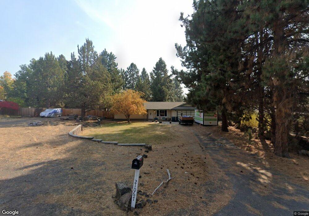
21067 Thomas Dr Bend, OR 97702
Larkspur NeighborhoodEstimated Value: $580,000 - $620,000
About This Home
This home is located at 21067 Thomas Dr, Bend, OR 97702 and is currently estimated at $597,000, approximately $425 per square foot. 21067 Thomas Dr is a home located in Deschutes County with nearby schools including Bear Creek Elementary School, Pilot Butte Middle School, and Bend Senior High School.
Ownership History
We collect this data history from publicly available records. To have your information removed, we recommend requesting removal directly through your county’s website.
Purchase Details
Home Financials for this Owner
Home Financials are based on the most recent Mortgage that was taken out on this home.Home Values in the Area
Average Home Value in this Area
Purchase History
We collect this data history from publicly available records. To have your information removed, we recommend requesting removal directly through your county’s website.
| Date | Buyer | Sale Price | Title Company |
|---|---|---|---|
| -- | None Listed On Document |
Mortgage History
We collect this data history from publicly available records. To have your information removed, we recommend requesting removal directly through your county’s website.
| Date | Status | Borrower | Loan Amount |
|---|---|---|---|
| Open | $856,500 |
Tax History
We collect this data history from publicly available records. To have your information removed, we recommend requesting removal directly through your county’s website.
| Year | Tax Paid | Tax Assessment Tax Assessment Total Assessment is a certain percentage of the fair market value that is determined by local assessors to be the total taxable value of land and additions on the property. | Land | Improvement |
|---|---|---|---|---|
| 2025 | $3,055 | $180,830 | ||
| 2024 | $2,940 | $175,570 | ||
| 2023 | $2,725 | $170,460 | $0 | $0 |
| 2022 | $2,543 | $160,680 | $0 | $0 |
| 2021 | $2,546 | $156,000 | $0 | $0 |
| 2020 | $2,416 | $156,000 | $0 | $0 |
| 2019 | $2,349 | $151,460 | $0 | $0 |
| 2018 | $2,282 | $147,050 | $0 | $0 |
| 2017 | $2,215 | $142,770 | $0 | $0 |
| 2016 | $2,113 | $138,620 | $0 | $0 |
| 2015 | $2,054 | $134,590 | $0 | $0 |
| 2014 | $1,994 | $130,670 | $0 | $0 |
Map
- 21023 Thomas Dr
- 21154 Darnel Ave
- 21035 Clairaway Ave
- 21184 Darnel Ave
- 21190 Darnel Ave
- 21182 Thomas Dr
- 796 SE Briarwood Ct
- 21172 Clairaway Ave
- 21163 Clairaway Ave
- 2241 SE Pilatus Ln
- 21177 Ritz Place
- 21184 Silverado Valley Ln
- 21189 Ritz Place
- 21025 Denning Dr
- 194 SE Cessna Dr
- 21171 SE Kayla Ct
- 253 SE Soft Tail Dr
- 61683 Daly Estates Dr
- 21238 Darby Ct
- 61984 Pettigrew Rd
- 21075 Thomas Dr
- 21083 Thomas Dr
- 21078 Thomas Dr
- 21086 Thomas Dr
- 21093 Thomas Dr
- 21070 Thomas Dr
- 21094 Thomas Dr
- 21062 Thomas Dr
- 21070 Azalia Ave
- 21059 Thomas Dr
- 21082 Azalia Ave
- 106 SE Airpark Dr
- 21096 Azalia Ave
- 104 SE Airpark Dr
- 110 SE Airpark Dr
- 21052 Thomas Dr
- 114 SE Airpark Dr
- 61815 SE Rolo Ct
- 61811 SE Rolo Ct
- 21069 Azalia Ave
Ask me questions while you tour the home.