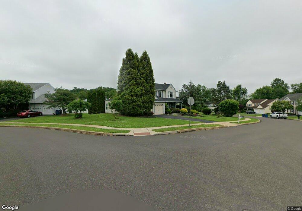
2107 Emily Cir Warrington, PA 18976
Estimated Value: $598,932 - $782,000
4
Beds
3
Baths
1,868
Sq Ft
$361/Sq Ft
Est. Value
About This Home
This home is located at 2107 Emily Cir, Warrington, PA 18976 and is currently estimated at $674,233, approximately $360 per square foot. 2107 Emily Cir is a home located in Bucks County with nearby schools including Jamison Elementary School, Tamanend Middle School, and Central Bucks High School - South.
Ownership History
Date
Name
Owned For
Owner Type
Purchase Details
Closed on
Jun 15, 2009
Sold by
Bodo Kevin M and Bodo Margaret E
Bought by
Bodo Margaret E
Current Estimated Value
Home Financials for this Owner
Home Financials are based on the most recent Mortgage that was taken out on this home.
Original Mortgage
$276,000
Interest Rate
4.92%
Mortgage Type
New Conventional
Purchase Details
Closed on
Apr 24, 2003
Sold by
Bodo Kevin M and Bodo Margaret E
Bought by
Bodo Kevin M and Bodo Margaret E
Home Financials for this Owner
Home Financials are based on the most recent Mortgage that was taken out on this home.
Original Mortgage
$175,000
Interest Rate
5.25%
Mortgage Type
Purchase Money Mortgage
Create a Home Valuation Report for This Property
The Home Valuation Report is an in-depth analysis detailing your home's value as well as a comparison with similar homes in the area
Home Values in the Area
Average Home Value in this Area
Purchase History
| Date | Buyer | Sale Price | Title Company |
|---|---|---|---|
| Bodo Margaret E | -- | None Available | |
| Bodo Kevin M | -- | Security Search & Abstract C |
Source: Public Records
Mortgage History
| Date | Status | Borrower | Loan Amount |
|---|---|---|---|
| Closed | Bodo Margaret E | $276,000 | |
| Closed | Bodo Kevin M | $175,000 |
Source: Public Records
Tax History Compared to Growth
Tax History
| Year | Tax Paid | Tax Assessment Tax Assessment Total Assessment is a certain percentage of the fair market value that is determined by local assessors to be the total taxable value of land and additions on the property. | Land | Improvement |
|---|---|---|---|---|
| 2025 | $5,988 | $32,440 | $9,000 | $23,440 |
| 2024 | $5,988 | $32,440 | $9,000 | $23,440 |
| 2023 | $5,544 | $32,440 | $9,000 | $23,440 |
| 2022 | $5,435 | $32,440 | $9,000 | $23,440 |
| 2021 | $5,374 | $32,440 | $9,000 | $23,440 |
| 2020 | $5,374 | $32,440 | $9,000 | $23,440 |
| 2019 | $5,342 | $32,440 | $9,000 | $23,440 |
| 2018 | $5,283 | $32,440 | $9,000 | $23,440 |
| 2017 | $5,211 | $32,440 | $9,000 | $23,440 |
| 2016 | $5,195 | $32,440 | $9,000 | $23,440 |
| 2015 | -- | $32,440 | $9,000 | $23,440 |
| 2014 | -- | $32,440 | $9,000 | $23,440 |
Source: Public Records
Map
Nearby Homes
- 2158 Green Ridge Dr
- 1877 Brook Ln
- 1917 Brook Ln
- 2018 Buckingham Dr
- 2226 Orchard Hill Cir
- 1656 S Ash Cir
- 1447 Bentley Dr
- 1620 Rockcress Dr
- 1618 Mayfield Cir
- 1402 Valley View
- 100 Ginko St Unit 303
- 110 Zircon Ct Unit 14
- 100 Fiddleleaf Ln Unit 104
- Kingswood Plan at Breton Hill
- Mayweather Plan at Breton Hill
- Cloverfield Plan at Breton Hill
- Raintree Plan at Breton Hill
- Rollins Plan at Breton Hill
- 2234 Evin Dr
- 1504 Springfield Ct Unit 37
- 2111 Emily Cir
- 2103 Emily Cir
- 2104 Emily Cir
- 2115 Emily Cir
- 1871 Guinea Ln
- 2108 Emily Cir
- 2119 Emily Cir
- 2112 Emily Cir
- 1595 Gregory Dr
- 1850 Guinea Ln
- 1997 Turkey Trot Rd
- 2116 Emily Cir
- 1870 Guinea Ln
- 1781 Guinea Ln
- 1587 Gregory Dr
- 1779 Guinea Ln
- 1583 Gregory Dr
- 1995 Turkey Trot Rd
- 1579 Gregory Dr
- 1777 Guinea Ln