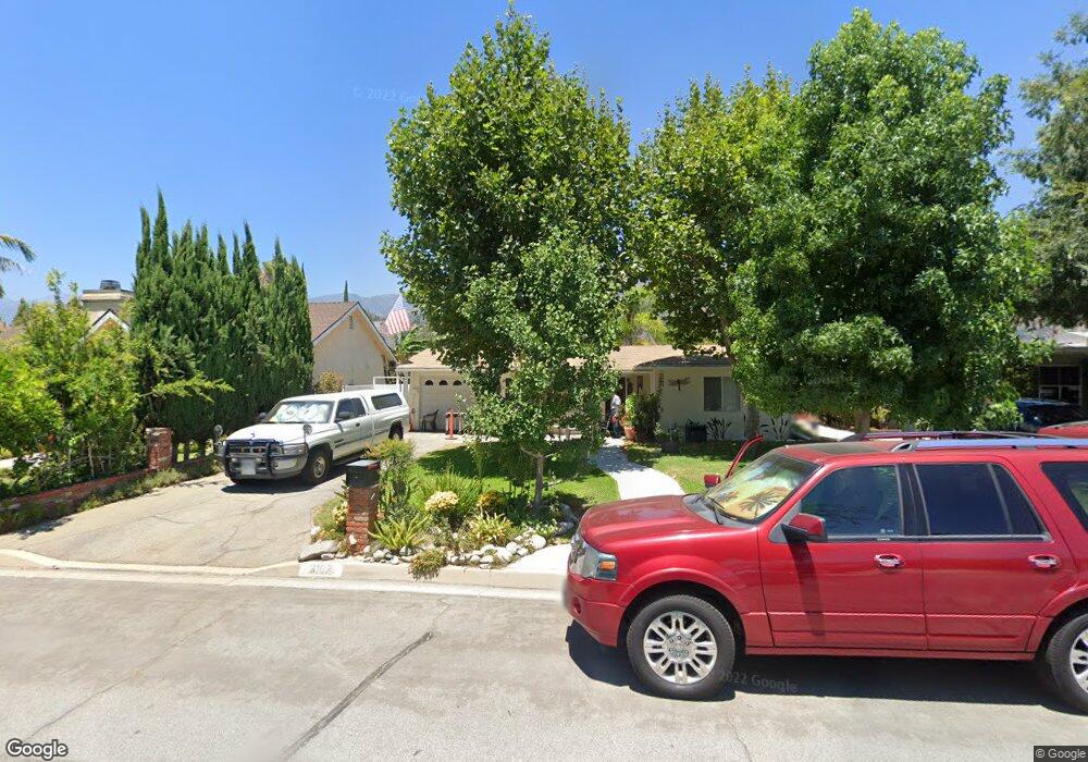
2107 Maynard Dr Duarte, CA 91010
Estimated Value: $682,000 - $735,000
About This Home
This home is located at 2107 Maynard Dr, Duarte, CA 91010 and is currently estimated at $704,293, approximately $874 per square foot. 2107 Maynard Dr is a home located in Los Angeles County with nearby schools including Royal Oaks Elementary School, Duarte High School, and California School Of The Arts - San Gabriel Valley.
Ownership History
We collect this data history from publicly available records. To have your information removed, we recommend requesting removal directly through your county’s website.
Purchase Details
Purchase Details
Home Financials for this Owner
Home Financials are based on the most recent Mortgage that was taken out on this home.Purchase Details
Home Financials for this Owner
Home Financials are based on the most recent Mortgage that was taken out on this home.Purchase Details
Home Financials for this Owner
Home Financials are based on the most recent Mortgage that was taken out on this home.Purchase Details
Home Financials for this Owner
Home Financials are based on the most recent Mortgage that was taken out on this home.Purchase Details
Home Financials for this Owner
Home Financials are based on the most recent Mortgage that was taken out on this home.Purchase Details
Home Values in the Area
Average Home Value in this Area
Purchase History
We collect this data history from publicly available records. To have your information removed, we recommend requesting removal directly through your county’s website.
| Date | Buyer | Sale Price | Title Company |
|---|---|---|---|
| -- | None Listed On Document | ||
| -- | Fidelity National Title | ||
| -- | Ticor Title Company-Glendale | ||
| -- | Ticor Title Co Glendale | ||
| -- | Ticor Title Co Glendale | ||
| -- | Ticor Title Co Glendale | ||
| -- | Ticor Title Co Glendale | ||
| -- | -- |
Mortgage History
We collect this data history from publicly available records. To have your information removed, we recommend requesting removal directly through your county’s website.
| Date | Status | Borrower | Loan Amount |
|---|---|---|---|
| Previous Owner | $300,000 | ||
| Previous Owner | $150,000 |
Tax History
We collect this data history from publicly available records. To have your information removed, we recommend requesting removal directly through your county’s website.
| Year | Tax Paid | Tax Assessment Tax Assessment Total Assessment is a certain percentage of the fair market value that is determined by local assessors to be the total taxable value of land and additions on the property. | Land | Improvement |
|---|---|---|---|---|
| 2025 | $4,946 | $343,547 | $269,311 | $74,236 |
| 2024 | $4,810 | $336,812 | $264,031 | $72,781 |
| 2023 | $4,675 | $330,208 | $258,854 | $71,354 |
| 2022 | $4,561 | $323,734 | $253,779 | $69,955 |
| 2021 | $4,506 | $317,387 | $248,803 | $68,584 |
| 2019 | $4,143 | $307,974 | $241,424 | $66,550 |
| 2018 | $4,024 | $301,937 | $236,691 | $65,246 |
| 2016 | $3,843 | $290,213 | $227,500 | $62,713 |
| 2015 | $3,761 | $285,854 | $224,083 | $61,771 |
| 2014 | $3,725 | $280,255 | $219,694 | $60,561 |
Map
- 1123 Bradbourne Ave
- 1030 1030 Bradbourne Unit 32
- 1030 Bradbourne Ave Unit 31
- 1030 Bradbourne Ave Unit 32
- 1030 Bradbourne Ave Unit 42
- 1945 Huntington Dr Unit A
- 1020 Bradbourne Ave Unit 22
- 1020 Bradbourne Ave
- 1927 Huntington Dr Unit H
- 1925 E Huntington Dr Unit E
- 1913 Huntington Dr Unit D
- 1706 1708 2nd
- 1322 Meadow Ln
- 1330 Meadow Ln
- 821 Random Ln
- 1232 Mission Place
- 1434 Highland Ave Unit 13
- 1434 Highland Ave Unit 8
- 2329 Bashor St
- 1817 2nd St
- 1232 Stonewood Dr
- 1230 Stonewood Dr
- 1234 Stonewood Dr
- 1228 Stonewood Dr
- 2103 Maynard Dr
- 1231 Stonewood Dr
- 1233 Stonewood Dr
- 1229 Stonewood Dr
- 1226 Stonewood Dr
- 1235 Stonewood Dr
- 1227 Stonewood Dr
- 1237 Stonewood Dr
- 1224 Stonewood Dr
- 1234 Amberwood Dr
- 2036 Pepperwood Ln
- 1239 Stonewood Dr
- 1232 Amberwood Dr
- 1236 Amberwood Dr
- 2113 Maynard Dr
- 1230 Amberwood Dr
Ask me questions while you tour the home.