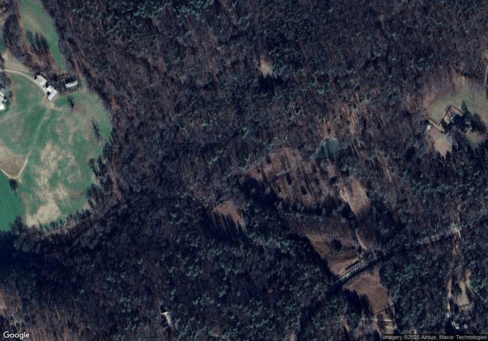
2107 New Liberty Rd Clarkesville, GA 30523
Estimated Value: $360,552 - $679,000
4
Beds
1
Bath
2,515
Sq Ft
$195/Sq Ft
Est. Value
About This Home
This home is located at 2107 New Liberty Rd, Clarkesville, GA 30523 and is currently estimated at $491,517, approximately $195 per square foot. 2107 New Liberty Rd is a home located in Habersham County with nearby schools including Clarkesville Elementary School, North Habersham Middle School, and Habersham Success Academy.
Ownership History
Date
Name
Owned For
Owner Type
Purchase Details
Closed on
May 19, 2023
Sold by
Lofgren Lela Griffin
Bought by
Blythewood Estate Holdings Llc
Current Estimated Value
Purchase Details
Closed on
Feb 7, 2022
Sold by
Griffin Lela Lounsbery
Bought by
Lofgren Lela Griffin and Griffin George Duncan
Purchase Details
Closed on
Feb 3, 2022
Sold by
Griffin Margaret Neill
Bought by
Griffin George Clayton and Sites Dorothy Neill
Purchase Details
Closed on
Jun 1, 2006
Sold by
Not Provided
Bought by
Griffin Lela Lounsbery
Create a Home Valuation Report for This Property
The Home Valuation Report is an in-depth analysis detailing your home's value as well as a comparison with similar homes in the area
Home Values in the Area
Average Home Value in this Area
Purchase History
| Date | Buyer | Sale Price | Title Company |
|---|---|---|---|
| Blythewood Estate Holdings Llc | -- | -- | |
| Lofgren Lela Griffin | -- | -- | |
| Griffin George Clayton | -- | -- | |
| Griffin Margaret Neill | -- | -- | |
| Griffin Lela Lounsbery | -- | -- |
Source: Public Records
Tax History Compared to Growth
Tax History
| Year | Tax Paid | Tax Assessment Tax Assessment Total Assessment is a certain percentage of the fair market value that is determined by local assessors to be the total taxable value of land and additions on the property. | Land | Improvement |
|---|---|---|---|---|
| 2025 | $2,527 | $104,625 | $46,200 | $58,425 |
| 2024 | $1,966 | $75,764 | $30,600 | $45,164 |
| 2023 | $1,688 | $67,496 | $30,600 | $36,896 |
| 2022 | $1,525 | $58,476 | $27,200 | $31,276 |
| 2021 | $1,414 | $54,464 | $25,500 | $28,964 |
| 2020 | $1,348 | $50,116 | $25,500 | $24,616 |
| 2019 | $1,349 | $50,116 | $25,500 | $24,616 |
| 2018 | $1,339 | $50,116 | $25,500 | $24,616 |
| 2017 | $1,265 | $47,104 | $25,500 | $21,604 |
| 2016 | $1,228 | $117,760 | $25,500 | $21,604 |
| 2015 | $1,214 | $117,760 | $25,500 | $21,604 |
| 2014 | $1,202 | $114,420 | $25,500 | $20,268 |
| 2013 | -- | $45,768 | $25,500 | $20,268 |
Source: Public Records
Map
Nearby Homes
- 274 Hardman Rd
- 182 Hardman Rd
- 323 McCartan Trail
- 211 Phillips St
- 281 Grindstone Creek Dr
- 399 Grindstone Creek Dr
- 0 TRACT 4 Annandale Dr
- 0 TRACT 3 Annandale Dr
- 0 TRACT 1 Annandale Dr
- 0 TRACT 2 Annandale Dr
- 431 Grindstone Creek Dr
- 253 Grindstone Creek Dr
- 281 Grindstone Creek Dr
- 140 Emerald Dr
- 124 Rockford Farm Dr
- 0 Buckhorn Rd Unit 10556339
- 712 Meadow Run Ct
- 264 River Fields Dr
- 220 Hardman Rd
- 2063 Highway 197 N
- 211 Lamont Ln
- 168 Lamont Ln
- 0 Lamont Ln
- 0 Lamont Ln Unit 7322998
- 0 Lamont Ln Unit 7152057
- 0 Lamont Ln Unit 7108413
- 0 Lamont Ln Unit 7263377
- 0 Lamont Ln Unit 7058338
- 0 Lamont Ln Unit 7000047
- 0 Lamont Ln Unit 3228140
- 0 Lamont Ln Unit 3060552
- 1250 New Liberty Rd
- 1984 New Liberty Rd
- 369 Woodland Ln
- 330 Lamont Ln
- 142 By Brook Trail
- 2403 New Liberty Rd
- 1718 New Liberty Rd
- 434 Lamont Ln
- 340 Lamont Ln
