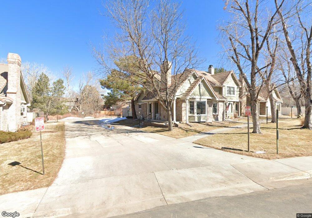
2107 Ranch Dr Denver, CO 80234
The Ranch NeighborhoodEstimated Value: $478,930 - $522,000
3
Beds
4
Baths
2,838
Sq Ft
$176/Sq Ft
Est. Value
About This Home
This home is located at 2107 Ranch Dr, Denver, CO 80234 and is currently estimated at $499,733, approximately $176 per square foot. 2107 Ranch Dr is a home located in Adams County with nearby schools including Cotton Creek Elementary School, Silver Hills Middle School, and Mountain Range High School.
Ownership History
Date
Name
Owned For
Owner Type
Purchase Details
Closed on
Jul 21, 2016
Sold by
Saponaro Frank A
Bought by
Corrigan Joseph C and Corrigan Deborah J
Current Estimated Value
Purchase Details
Closed on
Jan 9, 2013
Sold by
Saponaro Frank A and Saponaro Francis A
Bought by
Saponaro Frank A
Purchase Details
Closed on
Oct 5, 2012
Sold by
Saponaro Frank A
Bought by
Saponaro Frank A and Saponaro Francis A
Home Financials for this Owner
Home Financials are based on the most recent Mortgage that was taken out on this home.
Original Mortgage
$152,000
Interest Rate
3.37%
Mortgage Type
New Conventional
Purchase Details
Closed on
Jun 26, 2000
Sold by
And Puttkammer Paul D and Puttkammer Shirley C
Bought by
Saponaro Frank A
Home Financials for this Owner
Home Financials are based on the most recent Mortgage that was taken out on this home.
Original Mortgage
$192,150
Interest Rate
8.56%
Purchase Details
Closed on
Jun 8, 1993
Create a Home Valuation Report for This Property
The Home Valuation Report is an in-depth analysis detailing your home's value as well as a comparison with similar homes in the area
Home Values in the Area
Average Home Value in this Area
Purchase History
| Date | Buyer | Sale Price | Title Company |
|---|---|---|---|
| Corrigan Joseph C | $362,500 | Land Title | |
| Saponaro Frank A | -- | None Available | |
| Saponaro Frank A | -- | Service Link | |
| Saponaro Frank A | $213,500 | -- | |
| -- | $135,000 | -- |
Source: Public Records
Mortgage History
| Date | Status | Borrower | Loan Amount |
|---|---|---|---|
| Previous Owner | Saponaro Frank A | $152,000 | |
| Previous Owner | Saponaro Frank A | $192,150 |
Source: Public Records
Tax History
| Year | Tax Paid | Tax Assessment Tax Assessment Total Assessment is a certain percentage of the fair market value that is determined by local assessors to be the total taxable value of land and additions on the property. | Land | Improvement |
|---|---|---|---|---|
| 2025 | $3,124 | $35,500 | $6,800 | $28,700 |
| 2024 | $3,124 | $32,630 | $6,250 | $26,380 |
| 2023 | $3,091 | $35,450 | $5,680 | $29,770 |
| 2022 | $2,914 | $27,720 | $4,870 | $22,850 |
| 2021 | $3,008 | $27,720 | $4,870 | $22,850 |
| 2020 | $2,950 | $27,710 | $5,010 | $22,700 |
| 2019 | $2,955 | $27,710 | $5,010 | $22,700 |
| 2018 | $2,584 | $23,440 | $2,230 | $21,210 |
| 2017 | $2,332 | $23,440 | $2,230 | $21,210 |
| 2016 | $2,018 | $19,670 | $2,470 | $17,200 |
| 2015 | $2,016 | $19,670 | $2,470 | $17,200 |
| 2014 | $1,840 | $17,400 | $2,470 | $14,930 |
Source: Public Records
Map
Nearby Homes
- 2114 Ranch Dr
- 2111 Ranch Dr
- 1665 W 113th Ave
- 11105 Alcott St Unit A
- 11172 Bryant Ct
- 11147 Bryant Mews
- 11251 Osage Cir Unit E
- 11238 Osage Cir Unit C
- 11397 Navajo Cir Unit A
- 11207 Osage Cir Unit B
- 2184 W 116th Ave
- 2561 Ranch Reserve Ridge
- 2556 W 110th Place
- 11360 Navajo Cir Unit B
- 11360 Navajo Cir Unit C
- 11307 Navajo Cir Unit B
- 2804 W 111th Loop
- 1677 W 115th Cir
- 2791 W 114th Ct
- 1360 Kennedy Dr
- 2105 Ranch Dr
- 2101 Ranch Dr
- 2113 Ranch Dr
- 2115 Ranch Dr
- 2117 Ranch Dr
- 2110 Ranch Dr
- 2112 Ranch Dr
- 11273 Ranch Place
- 2116 Ranch Dr
- 11275 Ranch Place
- 11271 Ranch Place
- 2125 Ranch Dr
- 2129 Ranch Dr
- 2128 Ranch Dr
- 2132 Ranch Dr
- 2130 Ranch Dr
- 2133 Ranch Dr
- 11279 Ranch Place
- 11277 Ranch Place
- 11281 Ranch Place
Your Personal Tour Guide
Ask me questions while you tour the home.