2107 Us Highway 93 W Whitefish, MT 59937
Estimated Value: $840,834 - $1,089,000
4
Beds
2
Baths
1,362
Sq Ft
$730/Sq Ft
Est. Value
About This Home
This home is located at 2107 Us Highway 93 W, Whitefish, MT 59937 and is currently estimated at $994,709, approximately $730 per square foot. 2107 Us Highway 93 W is a home located in Flathead County with nearby schools including L.A. Muldown School, Whitefish Middle School, and Whitefish High School.
Ownership History
Date
Name
Owned For
Owner Type
Purchase Details
Closed on
Jan 11, 2010
Sold by
Kies Joseph B and Mcmillan Jamie M
Bought by
Hironaka Timothy G and Hironaka Lois F
Current Estimated Value
Purchase Details
Closed on
Mar 14, 2007
Sold by
Gentile Lance M and Gentile Merna Mcmillan
Bought by
Kies Joseph B and Kies Jamie M
Home Financials for this Owner
Home Financials are based on the most recent Mortgage that was taken out on this home.
Original Mortgage
$245,000
Interest Rate
7%
Mortgage Type
Future Advance Clause Open End Mortgage
Create a Home Valuation Report for This Property
The Home Valuation Report is an in-depth analysis detailing your home's value as well as a comparison with similar homes in the area
Home Values in the Area
Average Home Value in this Area
Purchase History
| Date | Buyer | Sale Price | Title Company |
|---|---|---|---|
| Hironaka Timothy G | -- | Fidelity National Title | |
| Kies Joseph B | -- | Citizens Title & Escrow Co |
Source: Public Records
Mortgage History
| Date | Status | Borrower | Loan Amount |
|---|---|---|---|
| Previous Owner | Kies Joseph B | $245,000 |
Source: Public Records
Tax History Compared to Growth
Tax History
| Year | Tax Paid | Tax Assessment Tax Assessment Total Assessment is a certain percentage of the fair market value that is determined by local assessors to be the total taxable value of land and additions on the property. | Land | Improvement |
|---|---|---|---|---|
| 2025 | $2,861 | $808,900 | $0 | $0 |
| 2024 | $3,750 | $749,400 | $0 | $0 |
| 2023 | $4,264 | $749,400 | $0 | $0 |
| 2022 | $3,056 | $429,500 | $0 | $0 |
| 2021 | $3,547 | $429,500 | $0 | $0 |
| 2020 | $3,332 | $348,500 | $0 | $0 |
| 2019 | $3,552 | $348,500 | $0 | $0 |
| 2018 | $3,116 | $294,200 | $0 | $0 |
| 2017 | $2,379 | $294,200 | $0 | $0 |
| 2016 | $2,614 | $261,800 | $0 | $0 |
| 2015 | $2,629 | $261,800 | $0 | $0 |
| 2014 | $2,654 | $159,371 | $0 | $0 |
Source: Public Records
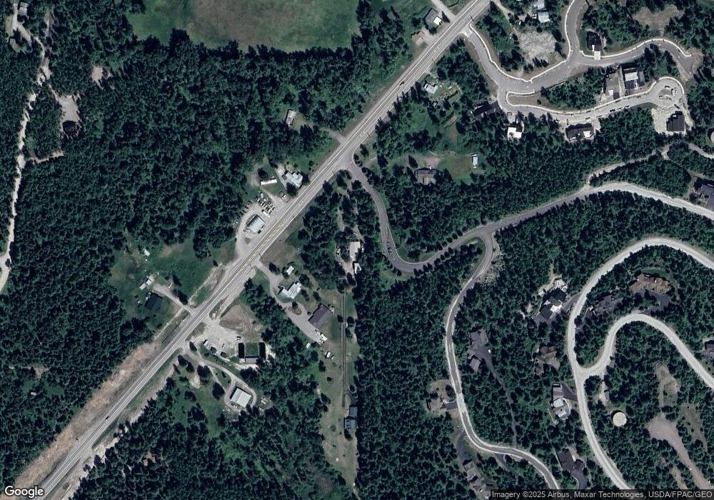
Map
Nearby Homes
- 327 Rock Ridge Rd
- 205 Fox Hollow Ln
- 1331 Nelson Ln Unit Cabin I
- 1038 Mountain Park Dr Unit B
- 318 Fairway Dr
- 5089 U S 93
- 309 Fairway Dr
- 104 Stumptown Loop
- 308 Haugen Heights Rd
- 754 Icehouse Rd
- 717 Ice House Rd
- 314 Fairway Dr
- 101 Little Mountain Rd
- 117 Little Mountain Ln
- 270 Lake Park Ln
- 271 Lake Park Ln
- 100 Whitefish Hills Dr
- NHN Tract 2 Wolf Tail Pines Rd
- 1030 State Park Rd
- 1028 State Park Rd
- 2105 U S 93
- 2105 Us Highway 93 W
- 2115 Us Highway 93 W
- 19 Mountainside Dr
- 11 Mountainside Dr
- 300 Grouse Ridge Dr
- 2100 Us Highway 93 W
- 2075 U S 93
- 2075 Us Highway 93 W
- 2085 Us Highway 93 W
- 2070 Us Highway 93 W
- 301 Grouse Ridge Dr
- 2109 Us Highway 93 W
- 320 Grouse Ridge Dr
- 2055 Us Highway 93 W
- 2055 U S 93
- 560 Grouse Ridge Dr
- 315 Grouse Ridge Dr
- 550 Grouse Ridge Dr
- 2010 U S 93