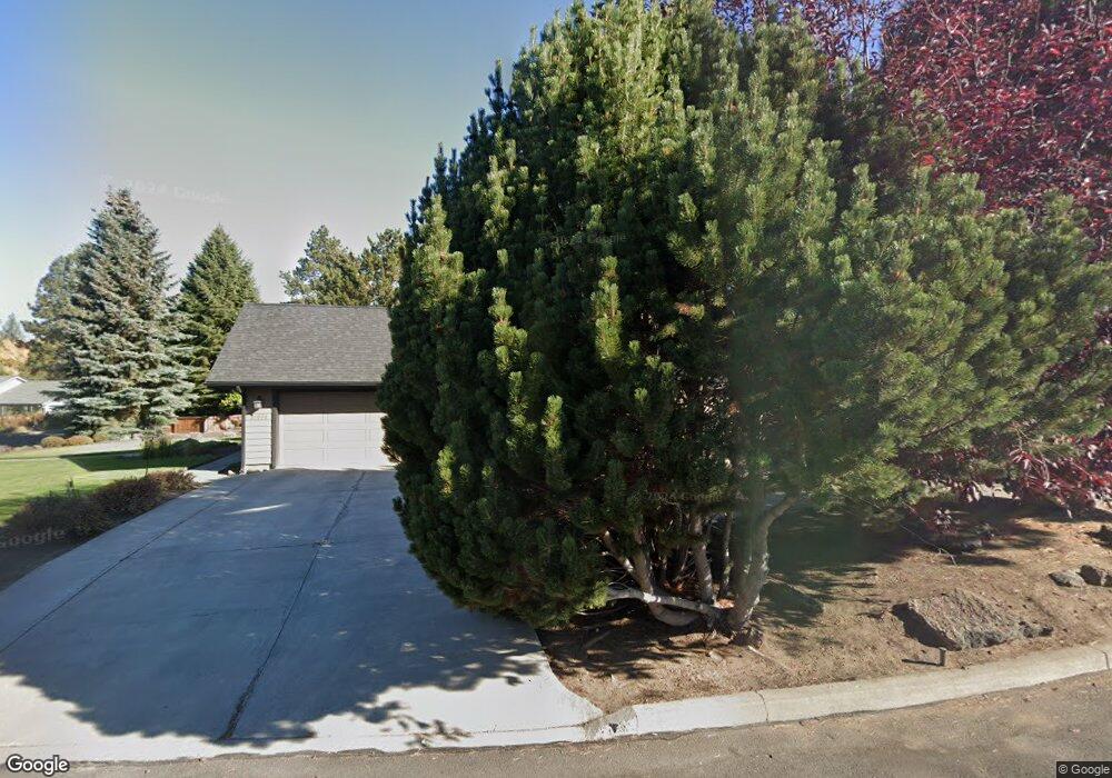
21076 Dooley Mountain Ct Bend, OR 97702
Old Farm District NeighborhoodEstimated Value: $815,000 - $944,000
3
Beds
3
Baths
2,322
Sq Ft
$378/Sq Ft
Est. Value
About This Home
This home is located at 21076 Dooley Mountain Ct, Bend, OR 97702 and is currently estimated at $877,898, approximately $378 per square foot. 21076 Dooley Mountain Ct is a home located in Deschutes County with nearby schools including Silver Rail Elementary School, High Desert Middle School, and Bend Senior High School.
Ownership History
Date
Name
Owned For
Owner Type
Purchase Details
Closed on
Apr 24, 2023
Sold by
Merget Eleanor
Bought by
Merget Eleanor and Davidovich Wendy
Current Estimated Value
Purchase Details
Closed on
Apr 14, 2021
Sold by
Merget Eleanor M
Bought by
Merget Eleanor and Davidovich Wendy
Purchase Details
Closed on
Jun 16, 2008
Sold by
Baker Robert P and Baker Deveral M
Bought by
Merget Richard L and Merget Eleanor M
Purchase Details
Closed on
Jan 12, 2004
Sold by
Lehman Robert A and Lehman Shari L
Bought by
Baker Robert P and Baker Deveral M
Home Financials for this Owner
Home Financials are based on the most recent Mortgage that was taken out on this home.
Original Mortgage
$165,000
Interest Rate
5.86%
Mortgage Type
Unknown
Create a Home Valuation Report for This Property
The Home Valuation Report is an in-depth analysis detailing your home's value as well as a comparison with similar homes in the area
Home Values in the Area
Average Home Value in this Area
Purchase History
| Date | Buyer | Sale Price | Title Company |
|---|---|---|---|
| Merget Eleanor | -- | None Listed On Document | |
| Merget Eleanor | -- | None Listed On Document | |
| Merget Richard L | $400,000 | Western Title & Escrow Co | |
| Baker Robert P | $285,000 | Western Title & Escrow Co |
Source: Public Records
Mortgage History
| Date | Status | Borrower | Loan Amount |
|---|---|---|---|
| Previous Owner | Baker Robert P | $165,000 |
Source: Public Records
Tax History Compared to Growth
Tax History
| Year | Tax Paid | Tax Assessment Tax Assessment Total Assessment is a certain percentage of the fair market value that is determined by local assessors to be the total taxable value of land and additions on the property. | Land | Improvement |
|---|---|---|---|---|
| 2025 | $6,378 | $377,460 | -- | -- |
| 2024 | $6,136 | $366,470 | -- | -- |
| 2023 | $5,688 | $355,800 | $0 | $0 |
| 2022 | $5,307 | $335,380 | $0 | $0 |
| 2021 | $5,315 | $325,620 | $0 | $0 |
| 2020 | $5,042 | $325,620 | $0 | $0 |
| 2019 | $4,902 | $316,140 | $0 | $0 |
| 2018 | $4,764 | $306,940 | $0 | $0 |
| 2017 | $4,624 | $298,000 | $0 | $0 |
| 2016 | $4,410 | $289,330 | $0 | $0 |
| 2015 | $4,288 | $280,910 | $0 | $0 |
| 2014 | $4,161 | $272,730 | $0 | $0 |
Source: Public Records
Map
Nearby Homes
- 21062 Desert Woods Dr
- 61336 Mount Vista Dr
- 61405 Steens Mountain Loop
- 61245 Crescent Ct
- 61445 SE 27th St Unit 86
- 61445 SE 27th St Unit 55
- 61445 SE 27th St Unit 48
- 61445 SE 27th St Unit 59
- 61445 SE 27th St Unit 100
- 61197 Cottonwood Dr
- 61536 Ascha Rose Ct
- 61097 Ferguson Ct
- 20886 King David Ave
- 21425 SE Krakatoa Ct
- 21412 SE Krakatoa Ct Unit Lot 103
- 21841 SE Stromboli Ct Unit Lot 96
- 21409 SE Krakatoa Ct
- 21844 SE Stromboli Ct
- 21428 SE Krakatoa Ct Unit Lot 99
- 20873 Greenmont Dr
- 21065 Dooley Mountain Ct
- 21055 Wilderness Way
- 21090 Dooley Mountain Ct
- 21085 Dooley Mountain Ct
- 21040 Wilderness Way
- 21050 Wilderness Way
- 21030 Wilderness Way
- 21100 Merritt Ct
- 21065 Wilderness Way
- 21015 Wilderness Way
- 21105 Merritt Ct
- 21060 Wilderness Way
- 61315 Victory Loop
- 21010 Wilderness Way
- 61325 Victory Loop
- 21105 Wilderness Way
- 21070 Wilderness Way
- 21080 Majestic View Ct
- 21070 Majestic View Ct
- 61374 Orion Dr