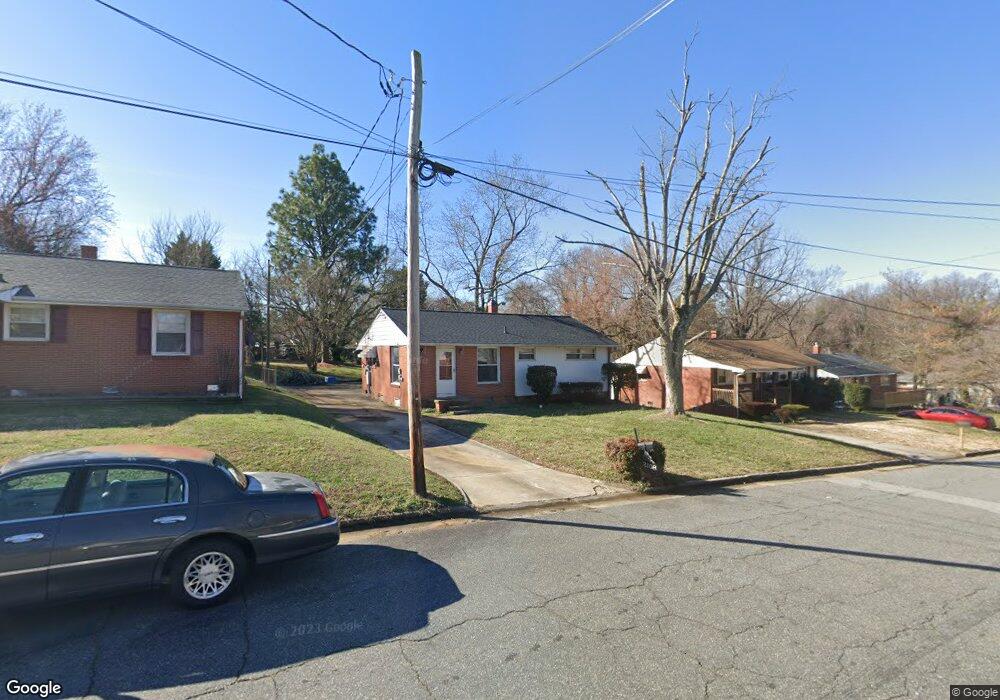
2108 Lowe Ave High Point, NC 27260
Greater High Point NeighborhoodEstimated Value: $82,000 - $135,000
2
Beds
1
Bath
975
Sq Ft
$120/Sq Ft
Est. Value
About This Home
This home is located at 2108 Lowe Ave, High Point, NC 27260 and is currently estimated at $117,174, approximately $120 per square foot. 2108 Lowe Ave is a home located in Guilford County with nearby schools including Fairview Elementary School, Ferndale Middle School, and High Point Central High School.
Ownership History
Date
Name
Owned For
Owner Type
Purchase Details
Closed on
May 12, 2020
Sold by
Wright Larry C and Wright Jill P
Bought by
Bmrs Properties Llc
Current Estimated Value
Purchase Details
Closed on
Oct 26, 2006
Sold by
Branch Banking & Trust Co
Bought by
Wright Larry C and Wright Jill P
Home Financials for this Owner
Home Financials are based on the most recent Mortgage that was taken out on this home.
Original Mortgage
$49,470
Interest Rate
6.31%
Mortgage Type
Purchase Money Mortgage
Purchase Details
Closed on
Apr 25, 2006
Sold by
Walker Mary T
Bought by
Branch Banking & Trust Co
Create a Home Valuation Report for This Property
The Home Valuation Report is an in-depth analysis detailing your home's value as well as a comparison with similar homes in the area
Home Values in the Area
Average Home Value in this Area
Purchase History
| Date | Buyer | Sale Price | Title Company |
|---|---|---|---|
| Bmrs Properties Llc | $375,000 | None Available | |
| Wright Larry C | $40,000 | None Available | |
| Branch Banking & Trust Co | $37,750 | None Available |
Source: Public Records
Mortgage History
| Date | Status | Borrower | Loan Amount |
|---|---|---|---|
| Previous Owner | Wright Larry C | $49,470 |
Source: Public Records
Tax History
| Year | Tax Paid | Tax Assessment Tax Assessment Total Assessment is a certain percentage of the fair market value that is determined by local assessors to be the total taxable value of land and additions on the property. | Land | Improvement |
|---|---|---|---|---|
| 2025 | $715 | $51,900 | $7,000 | $44,900 |
| 2024 | $715 | $51,900 | $7,000 | $44,900 |
| 2023 | $715 | $51,900 | $7,000 | $44,900 |
| 2022 | $700 | $51,900 | $7,000 | $44,900 |
| 2021 | $565 | $41,000 | $6,000 | $35,000 |
| 2020 | $565 | $41,000 | $6,000 | $35,000 |
| 2019 | $565 | $41,000 | $0 | $0 |
| 2018 | $562 | $41,000 | $0 | $0 |
| 2017 | $565 | $41,000 | $0 | $0 |
| 2016 | $623 | $44,400 | $0 | $0 |
| 2015 | $626 | $44,400 | $0 | $0 |
| 2014 | $637 | $44,400 | $0 | $0 |
Source: Public Records
Map
Nearby Homes
- 1914 E Russell Ave
- 1111 Winslow St
- 650 Wesley Dr
- 640 Wesley Dr
- 1110 Worth St
- 1806 Franklin Ave
- 1809 Franklin Ave
- 1314 Franklin Ave
- 1422 Valley Ridge Dr
- 430 New St
- 2317 Purdy Ave
- 1423 E Commerce Ave
- 1103 Jefferson St
- 811 Worth St
- 1012 Jefferson St
- 1908 Leonard Ave
- 335 Nathan Hunt Dr
- 812 E Russell Ave
- 1114 Richland St
- 1010 Grace St
- 2110 Lowe Ave
- 2106 Lowe Ave
- 2112 Lowe Ave
- 2104 Lowe Ave
- 2111 Friends Ave
- 2109 Friends Ave
- 2113 Friends Ave
- 2107 Friends Ave
- 2115 Friends Ave
- 2111 Lowe Ave
- 1603 Worth St
- 1502 Brentwood St
- 2107 Lowe Ave
- 1601 Worth St
- 1500 Brentwood St
- 1605 Worth St
- 1506 Brentwood St
- 2105 Lowe Ave
- 2113 Lowe Ave
- 1607 Worth St
Your Personal Tour Guide
Ask me questions while you tour the home.