2109 Fust Ln Wausau, WI 54403
Estimated Value: $371,000 - $632,253
--
Bed
--
Bath
--
Sq Ft
60.12
Acres
About This Home
This home is located at 2109 Fust Ln, Wausau, WI 54403 and is currently estimated at $513,063. 2109 Fust Ln is a home located in Marathon County with nearby schools including Riverside Elementary School, D.C. Everest Junior High School, and D.C. Everest Middle School.
Ownership History
Date
Name
Owned For
Owner Type
Purchase Details
Closed on
Nov 13, 2009
Sold by
Marathon Savings Bank
Bought by
Steines Mark and Steines Laurie
Current Estimated Value
Home Financials for this Owner
Home Financials are based on the most recent Mortgage that was taken out on this home.
Original Mortgage
$410,000
Outstanding Balance
$267,166
Interest Rate
4.96%
Mortgage Type
New Conventional
Estimated Equity
$245,897
Purchase Details
Closed on
May 22, 2009
Sold by
Ziebell Scott R and Ziebell Sue A
Bought by
Marathon Savings Bank
Create a Home Valuation Report for This Property
The Home Valuation Report is an in-depth analysis detailing your home's value as well as a comparison with similar homes in the area
Home Values in the Area
Average Home Value in this Area
Purchase History
| Date | Buyer | Sale Price | Title Company |
|---|---|---|---|
| Steines Mark | $336,000 | None Available | |
| Marathon Savings Bank | $413,574 | None Available |
Source: Public Records
Mortgage History
| Date | Status | Borrower | Loan Amount |
|---|---|---|---|
| Open | Steines Mark | $410,000 |
Source: Public Records
Tax History Compared to Growth
Tax History
| Year | Tax Paid | Tax Assessment Tax Assessment Total Assessment is a certain percentage of the fair market value that is determined by local assessors to be the total taxable value of land and additions on the property. | Land | Improvement |
|---|---|---|---|---|
| 2024 | $6,638 | $694,000 | $300,800 | $393,200 |
| 2023 | $6,375 | $694,000 | $300,800 | $393,200 |
| 2022 | $6,822 | $694,000 | $300,800 | $393,200 |
| 2021 | $5,565 | $437,300 | $217,800 | $219,500 |
| 2020 | $5,366 | $267,700 | $48,200 | $219,500 |
| 2019 | $5,211 | $267,700 | $48,200 | $219,500 |
| 2018 | $4,582 | $267,700 | $48,200 | $219,500 |
| 2017 | $5,349 | $267,700 | $48,200 | $219,500 |
| 2016 | $4,148 | $253,200 | $48,200 | $205,000 |
| 2015 | $4,306 | $267,700 | $48,200 | $219,500 |
| 2014 | $4,785 | $282,200 | $48,200 | $234,000 |
Source: Public Records
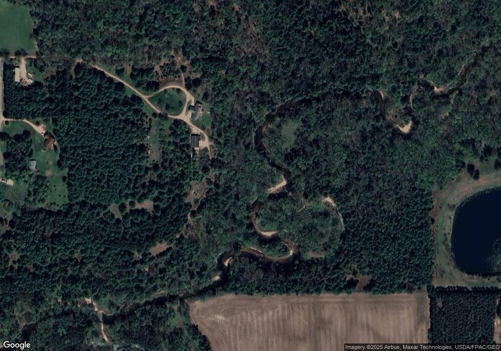
Map
Nearby Homes
- 6110 Kayak Dr
- 6312 Perch Dr
- 6308 Perch Dr
- 6304 Perch Dr
- 3706 Muskie Dr
- 3711 Muskie Dr
- 3710 Muskie Dr
- 3714 Muskie Dr
- 5906 Alex St
- 3802 Muskie Dr
- Willow Plan at Weston
- White Pine Plan at Weston
- Bentlee Plan at Weston
- Magnolia Plan at Weston
- Red Pine Plan at Weston
- 3806 Muskie Dr
- 3810 Muskie Dr
- 3816 Muskie Dr
- 3820 Muskie Dr
- 4112 River Bend Rd
- 228217 Fust Ln
- 2121 Fust Ln
- 228224 Fust Ln
- 227860 Wilderness Ln
- 227890 Wilderness Ln
- 161285 Townline Rd
- 161840 Ross Ave
- 227863 Wilderness Ln
- 161802 Ross Ave
- 2702 Wilderness Ln
- 6310 Canoe St
- 2703 Wilderness Ln
- 6308 Canoe St
- 6305 Canoe St
- 6306 Canoe St
- 6303 Canoe St
- 3220 Kramer Ln
- 3203 Portage St
- 7003 Townline Rd
- 6304 Canoe St