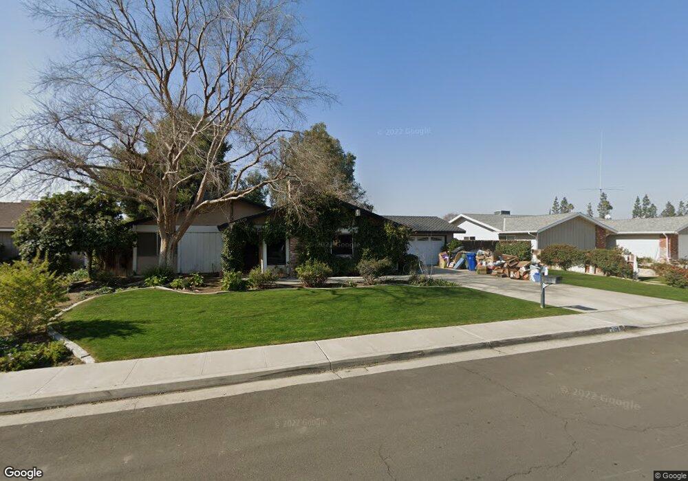
2109 Jason St Bakersfield, CA 93312
Greenacres NeighborhoodEstimated Value: $435,210 - $537,000
About This Home
This home is located at 2109 Jason St, Bakersfield, CA 93312 and is currently estimated at $482,053, approximately $294 per square foot. 2109 Jason St is a home located in Kern County with nearby schools including American Elementary School, Rosedale Middle School, and Liberty High School.
Ownership History
We collect this data history from publicly available records. To have your information removed, we recommend requesting removal directly through your county’s website.
Purchase Details
Home Financials for this Owner
Home Financials are based on the most recent Mortgage that was taken out on this home.Home Values in the Area
Average Home Value in this Area
Purchase History
We collect this data history from publicly available records. To have your information removed, we recommend requesting removal directly through your county’s website.
| Date | Buyer | Sale Price | Title Company |
|---|---|---|---|
| $146,500 | Fidelity National Title Co |
Mortgage History
We collect this data history from publicly available records. To have your information removed, we recommend requesting removal directly through your county’s website.
| Date | Status | Borrower | Loan Amount |
|---|---|---|---|
| Closed | $135,900 | ||
| Closed | $172,000 | ||
| Closed | $150,192 | ||
| Closed | $150,895 | ||
| Closed | $124,000 |
Tax History
We collect this data history from publicly available records. To have your information removed, we recommend requesting removal directly through your county’s website.
| Year | Tax Paid | Tax Assessment Tax Assessment Total Assessment is a certain percentage of the fair market value that is determined by local assessors to be the total taxable value of land and additions on the property. | Land | Improvement |
|---|---|---|---|---|
| 2025 | $3,101 | $225,141 | $69,151 | $155,990 |
| 2024 | $2,955 | $220,728 | $67,796 | $152,932 |
| 2023 | $2,955 | $216,401 | $66,467 | $149,934 |
| 2022 | $2,870 | $212,159 | $65,164 | $146,995 |
| 2021 | $2,757 | $208,000 | $63,887 | $144,113 |
| 2020 | $2,688 | $205,868 | $63,232 | $142,636 |
| 2019 | $2,633 | $205,868 | $63,232 | $142,636 |
| 2018 | $2,557 | $197,877 | $60,778 | $137,099 |
| 2017 | $2,508 | $193,998 | $59,587 | $134,411 |
| 2016 | $2,362 | $190,195 | $58,419 | $131,776 |
| 2015 | $2,322 | $187,339 | $57,542 | $129,797 |
| 2014 | $2,247 | $183,670 | $56,415 | $127,255 |
Map
- 2500 Jewetta Ave Unit 85
- 2500 Jewetta Ave Unit 6
- 11001 Aimee Way
- 11108 Aimee Way
- 11520 Pinehaven Ave
- 1913 Kathryn Ct
- 10429 Enger St
- 10906 Dee Ave
- 12008 Palm Ave
- 10512 Dee Ave
- 10332 Shellabarger Rd
- 11504 Buffington St
- 10112 Greenacres Dr
- 10328 Shellabarger Rd Unit CA
- 3105 Silver Spur Way
- 3110 Campfire Dr
- 3122 Campfire Dr Unit 2
- 3100 Woodstown St
- 11001 Four Bears Dr
- 1101 Sayword Ct
Ask me questions while you tour the home.