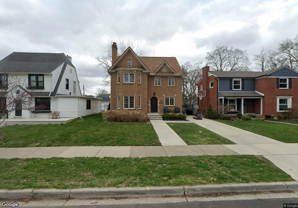
2109 Northwood Blvd Unit Bldg-Unit Royal Oak, MI 48073
Estimated Value: $656,000 - $699,000
4
Beds
3
Baths
2,091
Sq Ft
$324/Sq Ft
Est. Value
About This Home
This home is located at 2109 Northwood Blvd Unit Bldg-Unit, Royal Oak, MI 48073 and is currently estimated at $676,884, approximately $323 per square foot. 2109 Northwood Blvd Unit Bldg-Unit is a home located in Oakland County with nearby schools including Northwood Elementary School, Royal Oak Middle School, and Royal Oak High School.
Ownership History
Date
Name
Owned For
Owner Type
Purchase Details
Closed on
Mar 7, 2019
Sold by
Hutton David A and Cravens Hutton Kristin
Bought by
Craddock Patrick John and Craddock Amber Corrine
Current Estimated Value
Home Financials for this Owner
Home Financials are based on the most recent Mortgage that was taken out on this home.
Original Mortgage
$427,500
Outstanding Balance
$375,845
Interest Rate
4.4%
Mortgage Type
New Conventional
Estimated Equity
$301,039
Purchase Details
Closed on
Dec 28, 2010
Sold by
Estate Of Barbara J Hull and Hull David F
Bought by
Hutton David A and Cravens Hutton Kristin
Create a Home Valuation Report for This Property
The Home Valuation Report is an in-depth analysis detailing your home's value as well as a comparison with similar homes in the area
Home Values in the Area
Average Home Value in this Area
Purchase History
| Date | Buyer | Sale Price | Title Company |
|---|---|---|---|
| Craddock Patrick John | $475,000 | None Available | |
| Hutton David A | $221,200 | Devon Title Agency |
Source: Public Records
Mortgage History
| Date | Status | Borrower | Loan Amount |
|---|---|---|---|
| Open | Craddock Patrick John | $427,500 |
Source: Public Records
Tax History Compared to Growth
Tax History
| Year | Tax Paid | Tax Assessment Tax Assessment Total Assessment is a certain percentage of the fair market value that is determined by local assessors to be the total taxable value of land and additions on the property. | Land | Improvement |
|---|---|---|---|---|
| 2024 | $7,321 | $257,650 | $0 | $0 |
| 2022 | $8,649 | $235,470 | $0 | $0 |
| 2020 | $7,113 | $227,450 | $0 | $0 |
| 2018 | $8,649 | $185,820 | $0 | $0 |
| 2017 | $0 | $185,820 | $0 | $0 |
| 2015 | -- | $133,600 | $0 | $0 |
| 2014 | -- | $130,280 | $0 | $0 |
| 2011 | -- | $112,380 | $0 | $0 |
Source: Public Records
Map
Nearby Homes
- 1915 Northwood Blvd
- 1828 W 12 Mile Rd
- 1808 W 12 Mile Rd
- 1718 W 12 Mile Rd
- 2125 Clawson Ave Unit 107
- 2125 Clawson Ave Unit 207
- 1631 Roseland Ave
- 1630 W 12 Mile Rd
- 1363 Edgewood Blvd
- 2403 Clawson Ave
- 1507 Roseland Ave
- 1450 Wiltshire Rd
- 2422 Oliver Rd
- 2856 Central St
- 2015 Alicia Ln
- 1721 Forestdale Ct
- Lot 60 Earlmont Rd
- 2606 Benjamin Ave
- 2438 Evergreen Dr
- 1319 Woodsboro Dr
- 2109 Northwood Blvd
- 2115 Northwood Blvd
- 2105 Northwood Blvd
- 2119 Northwood Blvd
- 2031 W Houstonia Ave
- 2020 Roseland Ave
- 2010 Roseland Ave
- 2023 W Houstonia Ave
- 2006 Roseland Ave
- 2122 Northwood Blvd
- 2019 W Houstonia Ave
- 2114 Northwood Blvd
- 2110 Northwood Blvd
- 2104 Northwood Blvd
- 2135 Northwood Blvd
- 1936 Roseland Ave
- 2002 Roseland Ave
- 2013 W Houstonia Ave
- 2100 Northwood Blvd
- 2027 Roseland Ave