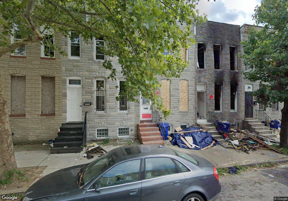
2109 Ramsay St Baltimore, MD 21223
Carrollton Ridge NeighborhoodEstimated Value: $136,000 - $207,917
Studio
--
Bath
--
Sq Ft
1,220
Sq Ft Lot
About This Home
This home is located at 2109 Ramsay St, Baltimore, MD 21223 and is currently estimated at $171,959. 2109 Ramsay St is a home located in Baltimore City with nearby schools including Booker T. Washington Middle School, Digital Harbor High School, and Frederick Douglass High School.
Ownership History
Date
Name
Owned For
Owner Type
Purchase Details
Closed on
Nov 15, 2005
Sold by
Williams Tony M
Bought by
Cunningham Reneea
Current Estimated Value
Purchase Details
Closed on
Aug 29, 2001
Sold by
Hvf Llc
Bought by
Williams Tony M and Cunningham Renee A
Purchase Details
Closed on
Jun 8, 2001
Sold by
Secretary Of Housing
Bought by
Hvf Llc
Purchase Details
Closed on
Aug 19, 1999
Sold by
Collins Norman A
Bought by
Secretary Of Housing and Urban Development Of
Create a Home Valuation Report for This Property
The Home Valuation Report is an in-depth analysis detailing your home's value as well as a comparison with similar homes in the area
Home Values in the Area
Average Home Value in this Area
Purchase History
| Date | Buyer | Sale Price | Title Company |
|---|---|---|---|
| Cunningham Reneea | -- | -- | |
| Williams Tony M | $52,000 | -- | |
| Hvf Llc | $2,500 | -- | |
| Secretary Of Housing | $25,100 | -- |
Source: Public Records
Tax History
| Year | Tax Paid | Tax Assessment Tax Assessment Total Assessment is a certain percentage of the fair market value that is determined by local assessors to be the total taxable value of land and additions on the property. | Land | Improvement |
|---|---|---|---|---|
| 2025 | $352 | $15,000 | $3,000 | $12,000 |
| 2024 | $352 | $15,000 | $3,000 | $12,000 |
| 2023 | $802 | $34,000 | $7,000 | $27,000 |
| 2022 | $732 | $31,000 | $0 | $0 |
| 2021 | $661 | $28,000 | $0 | $0 |
| 2020 | $533 | $25,000 | $5,000 | $20,000 |
| 2019 | $531 | $25,000 | $5,000 | $20,000 |
| 2018 | $540 | $25,000 | $5,000 | $20,000 |
| 2017 | $66 | $3,000 | $0 | $0 |
| 2016 | $400 | $25,667 | $0 | $0 |
| 2015 | $400 | $21,333 | $0 | $0 |
| 2014 | $400 | $17,000 | $0 | $0 |
Source: Public Records
Map
Nearby Homes
- 347 S Smallwood St
- 312 S Pulaski St
- 2112 Wilhelm St
- 2106 Wilhelm St
- 407 S Smallwood St
- 302 S Pulaski St
- 2108 Ashton St
- 2122 Ashton St
- 406 S Smallwood St
- 307 S Pulaski St
- 431 S Smallwood St
- 422 S Smallwood St
- 411 Furrow St
- 426 S Smallwood St
- 430 S Smallwood St
- 423 Furrow St
- 409 S Pulaski St
- 2011 Mchenry St
- 346 S Payson St
- 328 S Payson St
- 2107 Ramsay St
- 2111 Ramsay St
- 2105 Ramsay St
- 2113 Ramsay St
- 2115 Ramsay St
- 2103 Ramsay St
- 2117 Ramsay St
- 2119 Ramsay St
- 2121 Ramsay St
- 2123 Ramsay St
- 404 S Pulaski St
- 408 S Pulaski St
- 402 S Pulaski St
- 400 S Pulaski St
- 2125 Ramsay St
- 410 S Pulaski St
- 416 S Pulaski St
- 414 S Pulaski St
- 412 S Pulaski St
- 2102 Ashton St
Your Personal Tour Guide
Ask me questions while you tour the home.