2109 Signal Point Rd Knoxville, TN 37922
Concord NeighborhoodEstimated Value: $1,078,000 - $1,224,000
3
Beds
3
Baths
3,530
Sq Ft
$328/Sq Ft
Est. Value
About This Home
This home is located at 2109 Signal Point Rd, Knoxville, TN 37922 and is currently estimated at $1,158,182, approximately $328 per square foot. 2109 Signal Point Rd is a home located in Knox County with nearby schools including Northshore Elementary School, Farragut Middle School, and Farragut High School.
Ownership History
Date
Name
Owned For
Owner Type
Purchase Details
Closed on
Mar 26, 2024
Sold by
Young Matthew L
Bought by
Turner Michael Jason and Turner Emily Ru
Current Estimated Value
Home Financials for this Owner
Home Financials are based on the most recent Mortgage that was taken out on this home.
Original Mortgage
$657,000
Outstanding Balance
$646,977
Interest Rate
6.77%
Mortgage Type
New Conventional
Estimated Equity
$511,205
Purchase Details
Closed on
Oct 23, 2020
Sold by
Hopper James P and Rader Carol D
Bought by
Young Matthew L
Home Financials for this Owner
Home Financials are based on the most recent Mortgage that was taken out on this home.
Original Mortgage
$510,400
Interest Rate
2.8%
Mortgage Type
New Conventional
Create a Home Valuation Report for This Property
The Home Valuation Report is an in-depth analysis detailing your home's value as well as a comparison with similar homes in the area
Home Values in the Area
Average Home Value in this Area
Purchase History
| Date | Buyer | Sale Price | Title Company |
|---|---|---|---|
| Turner Michael Jason | $1,100,000 | Melrose Title Company Llc | |
| Young Matthew L | $800,000 | Title Professionals Inc |
Source: Public Records
Mortgage History
| Date | Status | Borrower | Loan Amount |
|---|---|---|---|
| Open | Turner Michael Jason | $657,000 | |
| Previous Owner | Young Matthew L | $510,400 |
Source: Public Records
Tax History Compared to Growth
Tax History
| Year | Tax Paid | Tax Assessment Tax Assessment Total Assessment is a certain percentage of the fair market value that is determined by local assessors to be the total taxable value of land and additions on the property. | Land | Improvement |
|---|---|---|---|---|
| 2024 | $3,124 | $201,000 | $0 | $0 |
| 2023 | $3,124 | $201,000 | $0 | $0 |
| 2022 | $3,124 | $201,000 | $0 | $0 |
| 2021 | $3,693 | $174,200 | $0 | $0 |
| 2020 | $2,849 | $134,400 | $0 | $0 |
| 2019 | $2,849 | $134,400 | $0 | $0 |
| 2018 | $2,849 | $134,400 | $0 | $0 |
| 2017 | $2,849 | $134,400 | $0 | $0 |
| 2016 | $3,057 | $0 | $0 | $0 |
| 2015 | $3,057 | $0 | $0 | $0 |
| 2014 | $3,057 | $0 | $0 | $0 |
Source: Public Records
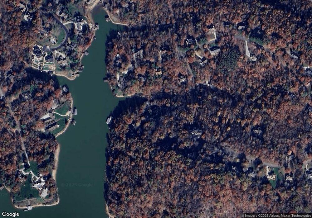
Map
Nearby Homes
- 2029 Duck Cove Dr
- 1917 Ridge Oak Ln
- 1758 N Wilkerson Rd
- 1534 N Wilkerson Rd
- 1310 N Wilkerson Rd
- 2225 Henge Point Ln
- 0 Early Rd Unit 3 1307350
- 0 Early Rd Unit 2 1307144
- 0 Early Rd Unit 4 1307529
- 8440 Lakeland Dr
- 2209 Henge Point Ln
- 2071 Wooded Mountain Ln
- 1824 Glen Shady Blvd
- 1823 Shadyside Ln
- 1826 Shadyside Ln
- 2044 Wooded Mountain Ln
- 1050 Wilderness Rd
- 12317 River Oaks Point
- 471 Roseland Ln
- 3552 Lakeland Dr
- 2111 Signal Point Rd
- 2115 Signal Point Rd
- 2101 Signal Point Rd
- 2009 Duck Cove Dr
- 2005 Duck Cove Dr
- 2119 Signal Point Rd
- 2281 Duck Cove Dr
- 2273 Duck Cove Dr
- 2123 Signal Point Rd
- 2001 Duck Cove Dr
- 0 Duck Cove Dr Unit 2 758748
- 0 Duck Cove Dr
- 0 Duck Cove Ln
- 2274 Duck Cove Dr
- 2102 Signal Point Rd
- 2012 Duck Cove Dr
- 2004 Duck Cove Dr
- 2017 Duck Cove Dr
- 2265 Duck Cove Dr
- 2016 Duck Cove Dr