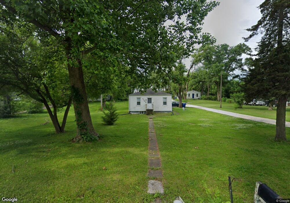
2109 W 51st St Davenport, IA 52806
North Side NeighborhoodEstimated Value: $51,000 - $162,000
2
Beds
1
Bath
792
Sq Ft
$165/Sq Ft
Est. Value
About This Home
This home is located at 2109 W 51st St, Davenport, IA 52806 and is currently estimated at $130,805, approximately $165 per square foot. 2109 W 51st St is a home located in Scott County with nearby schools including Buchanan Elementary School, Wood Intermediate School, and North High School.
Ownership History
Date
Name
Owned For
Owner Type
Purchase Details
Closed on
Feb 10, 2006
Sold by
Isenberg Joseph M
Bought by
North Green Acres L L C
Current Estimated Value
Purchase Details
Closed on
Jan 9, 2006
Sold by
Isenberg Rosemary D
Bought by
Isenberg Joseph M
Create a Home Valuation Report for This Property
The Home Valuation Report is an in-depth analysis detailing your home's value as well as a comparison with similar homes in the area
Home Values in the Area
Average Home Value in this Area
Purchase History
| Date | Buyer | Sale Price | Title Company |
|---|---|---|---|
| North Green Acres L L C | -- | None Available | |
| Isenberg Joseph M | -- | None Available |
Source: Public Records
Tax History Compared to Growth
Tax History
| Year | Tax Paid | Tax Assessment Tax Assessment Total Assessment is a certain percentage of the fair market value that is determined by local assessors to be the total taxable value of land and additions on the property. | Land | Improvement |
|---|---|---|---|---|
| 2025 | $2,674 | $166,720 | $21,000 | $145,720 |
| 2024 | $2,608 | $149,580 | $21,000 | $128,580 |
| 2023 | $2,390 | $149,580 | $21,000 | $128,580 |
| 2022 | $2,256 | $111,930 | $18,000 | $93,930 |
| 2021 | $2,256 | $105,150 | $18,000 | $87,150 |
| 2020 | $2,284 | $105,150 | $18,000 | $87,150 |
| 2019 | $2,360 | $105,150 | $18,000 | $87,150 |
| 2018 | $2,202 | $105,150 | $18,000 | $87,150 |
| 2017 | $2,280 | $100,300 | $18,000 | $82,300 |
| 2016 | $2,196 | $100,300 | $0 | $0 |
| 2015 | $2,196 | $101,790 | $0 | $0 |
| 2014 | $2,260 | $101,790 | $0 | $0 |
| 2013 | $2,222 | $0 | $0 | $0 |
| 2012 | -- | $99,850 | $20,870 | $78,980 |
Source: Public Records
Map
Nearby Homes
- 2127 W 51st St
- 5109 N Pine St
- 1827 Welshire Dr
- 1729 Welshire Dr
- 5210 N Division St
- 1927 W 55th St
- 5310 N Division St
- 5436 N Division St
- 5510 N Division St
- 5516 N Division St
- 4315 El Rancho Dr
- 2620 W 54th St
- 5300 Hillandale Rd
- 5335 Hillandale Rd
- 5312 Hillandale Rd
- 2203 W 59th St
- 2725 W 49th St
- 5406 Hillandale Rd
- 5556 N Thornwood Ave
- 2426 W 44th St