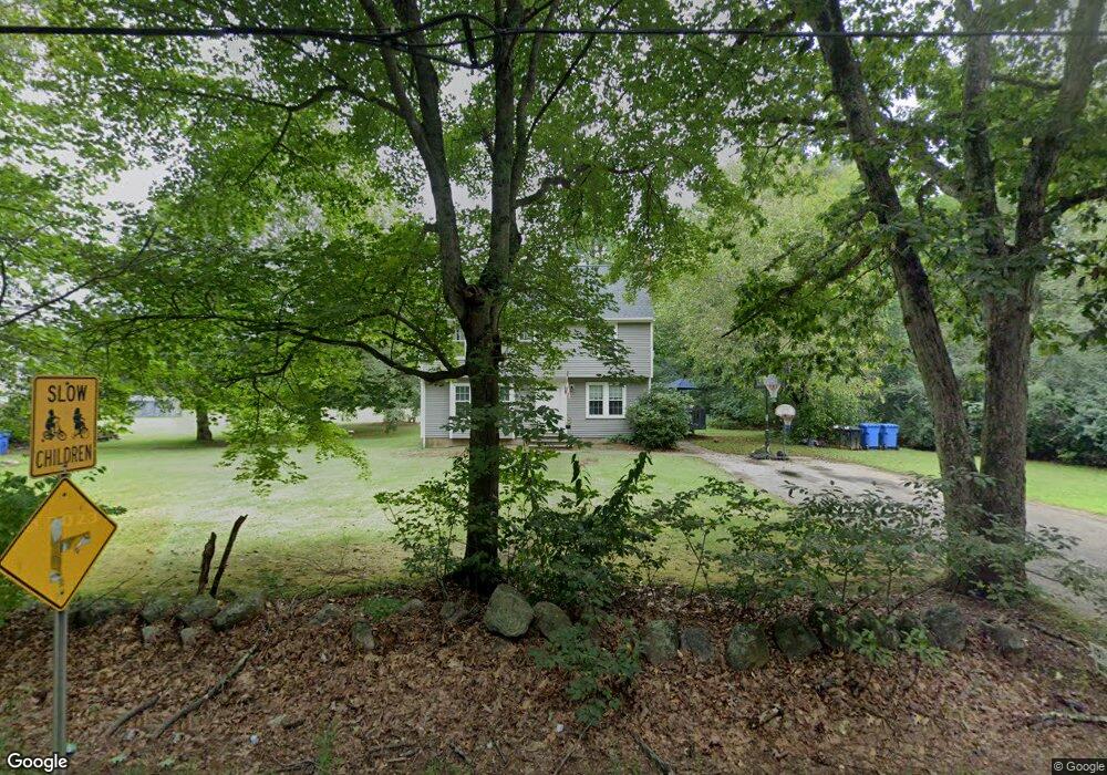
211 Beach St Wrentham, MA 02093
Estimated Value: $629,000 - $758,000
4
Beds
2
Baths
1,836
Sq Ft
$370/Sq Ft
Est. Value
About This Home
This home is located at 211 Beach St, Wrentham, MA 02093 and is currently estimated at $680,169, approximately $370 per square foot. 211 Beach St is a home located in Norfolk County with nearby schools including Delaney Elementary School, Charles E Roderick, and Discovery Daycare Center.
Ownership History
Date
Name
Owned For
Owner Type
Purchase Details
Closed on
May 12, 2022
Sold by
Rizzo Frank C
Bought by
Frank C Rizzo T
Current Estimated Value
Purchase Details
Closed on
Dec 10, 2021
Sold by
Centofanti Enes
Bought by
Enes Centofanti T
Purchase Details
Closed on
Mar 8, 2010
Sold by
Mueller Ricky F
Bought by
Dugdale Christopher J and Sinclaire Beth C
Home Financials for this Owner
Home Financials are based on the most recent Mortgage that was taken out on this home.
Original Mortgage
$299,475
Interest Rate
5.25%
Mortgage Type
FHA
Create a Home Valuation Report for This Property
The Home Valuation Report is an in-depth analysis detailing your home's value as well as a comparison with similar homes in the area
Purchase History
| Date | Buyer | Sale Price | Title Company |
|---|---|---|---|
| Frank C Rizzo T | -- | None Available | |
| Rizzo Frank C | -- | None Available | |
| Enes Centofanti T | -- | None Available | |
| Dugdale Christopher J | $305,000 | -- |
Source: Public Records
Mortgage History
| Date | Status | Borrower | Loan Amount |
|---|---|---|---|
| Previous Owner | Dugdale Christopher J | $299,475 |
Source: Public Records
Tax History
| Year | Tax Paid | Tax Assessment Tax Assessment Total Assessment is a certain percentage of the fair market value that is determined by local assessors to be the total taxable value of land and additions on the property. | Land | Improvement |
|---|---|---|---|---|
| 2025 | $6,108 | $527,000 | $262,800 | $264,200 |
| 2024 | $5,923 | $493,600 | $262,800 | $230,800 |
| 2023 | $5,569 | $441,300 | $238,800 | $202,500 |
| 2022 | $5,509 | $403,000 | $232,200 | $170,800 |
| 2021 | $5,265 | $374,200 | $217,000 | $157,200 |
| 2020 | $4,730 | $331,900 | $165,600 | $166,300 |
| 2019 | $4,814 | $340,900 | $182,200 | $158,700 |
| 2018 | $5,037 | $353,700 | $182,400 | $171,300 |
| 2017 | $4,956 | $347,800 | $178,900 | $168,900 |
| 2016 | $4,845 | $339,300 | $173,700 | $165,600 |
| 2015 | $4,767 | $318,200 | $167,000 | $151,200 |
| 2014 | $4,714 | $307,900 | $160,600 | $147,300 |
Source: Public Records
Map
Nearby Homes
- 10 Earle Stewart Ln Unit Lot 5
- 3 Earle Stewart Ln
- 12 Earle Stewart Ln
- 2 Earle Stewart Ln
- 135 Creek St Unit 2
- 10 Nature View Dr
- 15 Nature View Dr
- 282 Thurston St
- 1222 South St
- 440 South St
- 483 Thurston St
- 160 Washington St Unit 22
- 500 Franklin St
- 0 Berry St
- 158 Washington St
- 126 Washington St
- 130 Washington St
- 124 Washington St
- 18 Huntington Ave
- 613 West St
Your Personal Tour Guide
Ask me questions while you tour the home.