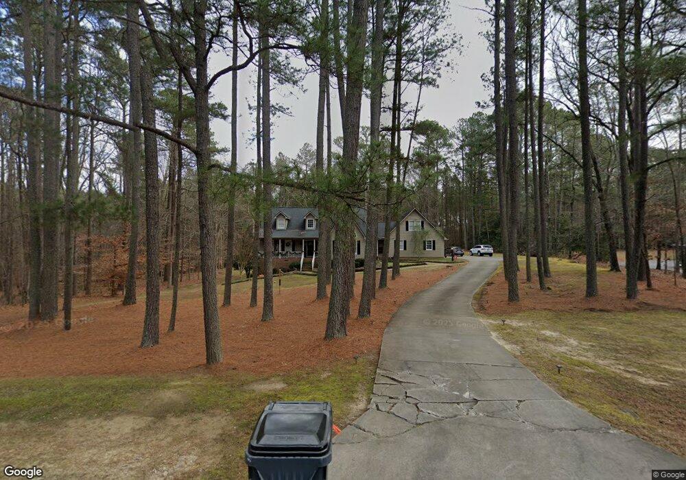
211 Burning Tree Dr Henderson, NC 27537
Estimated Value: $388,000 - $449,000
3
Beds
3
Baths
2,802
Sq Ft
$151/Sq Ft
Est. Value
About This Home
This home is located at 211 Burning Tree Dr, Henderson, NC 27537 and is currently estimated at $422,927, approximately $150 per square foot. 211 Burning Tree Dr is a home located in Vance County with nearby schools including Dabney Elementary School, Vance County Middle School, and Vance County High School.
Ownership History
Date
Name
Owned For
Owner Type
Purchase Details
Closed on
Sep 20, 2022
Sold by
Blackburn Kathryn A
Bought by
Hampton Savannah Tyndall and Hampton Samuel Weldon
Current Estimated Value
Purchase Details
Closed on
Aug 17, 2011
Sold by
Baxley Paul A and Baxley Jennifer H
Bought by
Blackburn Kathryn A
Home Financials for this Owner
Home Financials are based on the most recent Mortgage that was taken out on this home.
Original Mortgage
$168,000
Interest Rate
4.62%
Mortgage Type
New Conventional
Purchase Details
Closed on
Jan 12, 2005
Sold by
Justice Thomas A and Justice Gayle T
Bought by
Baxley Paul A and Baxley Jennifer H
Home Financials for this Owner
Home Financials are based on the most recent Mortgage that was taken out on this home.
Original Mortgage
$125,000
Interest Rate
5.71%
Mortgage Type
New Conventional
Create a Home Valuation Report for This Property
The Home Valuation Report is an in-depth analysis detailing your home's value as well as a comparison with similar homes in the area
Home Values in the Area
Average Home Value in this Area
Purchase History
| Date | Buyer | Sale Price | Title Company |
|---|---|---|---|
| Hampton Savannah Tyndall | $395,000 | -- | |
| Blackburn Kathryn A | $210,000 | -- | |
| Baxley Paul A | $248,000 | -- |
Source: Public Records
Mortgage History
| Date | Status | Borrower | Loan Amount |
|---|---|---|---|
| Previous Owner | Blackburn Kathryn A | $168,000 | |
| Previous Owner | Baxley Paul A | $125,000 |
Source: Public Records
Tax History Compared to Growth
Tax History
| Year | Tax Paid | Tax Assessment Tax Assessment Total Assessment is a certain percentage of the fair market value that is determined by local assessors to be the total taxable value of land and additions on the property. | Land | Improvement |
|---|---|---|---|---|
| 2025 | $2,173 | $342,666 | $23,760 | $318,906 |
| 2024 | $2,808 | $342,666 | $23,760 | $318,906 |
| 2023 | $2,081 | $200,341 | $20,000 | $180,341 |
| 2022 | $2,113 | $200,341 | $20,000 | $180,341 |
| 2021 | $1,961 | $200,341 | $20,000 | $180,341 |
| 2020 | $2,113 | $200,341 | $20,000 | $180,341 |
| 2019 | $2,110 | $200,341 | $20,000 | $180,341 |
| 2018 | $1,871 | $200,341 | $20,000 | $180,341 |
| 2017 | $1,976 | $200,341 | $20,000 | $180,341 |
| 2016 | $1,976 | $200,341 | $20,000 | $180,341 |
| 2015 | $1,958 | $258,380 | $55,000 | $203,380 |
| 2014 | $2,255 | $258,472 | $55,000 | $203,472 |
Source: Public Records
Map
Nearby Homes
- 141 Southerland Place
- 1.35 Acre Southerland Place
- 1.98 Acre Southerland Place
- 1.32 Acre Southerland Place
- 0 Us Hwy 158 Hwy Unit CAR4105253
- 160 Shadowbrook Dr
- 65 Pine View Rd
- 000 Horseshoe Bend Rd
- 105 Fernwood Creek Ct
- 2535 Fairway Dr Unit 3
- 1822 Ruin Creek Rd
- 6581 U S 158 Business
- 3203 Cameron Dr
- 415 Beechwood Trail
- 3070 Cameron Dr
- 159 Waterfall Rd
- 409 Eagle Ct
- 407 Eagle Ct
- 387 Waterfall Rd
- 404 Eagle Ct
- 245 Burning Tree Dr
- Lot 36 - 3 Burning Tree Dr
- Lot 38 - 3 Burning Tree Dr
- Lot 35 Burning Tree Dr
- Lot 34 Burning Tree Dr
- Lot 33 Burning Tree Dr
- 0 Burning Tree Dr
- 35 Wintergreen Rd
- 248 Burning Tree Dr
- 42 Wintergreen Rd
- 267 Burning Tree Dr
- 290 Burning Tree Dr
- 97 Burning Tree Dr
- 69 Wintergreen Rd
- 66 Wintergreen Rd
- 84 Wintergreen Rd
- 305 Burning Tree Dr
- Lot 38 - 39R Burning Tree Ln
- Lot 6 Southerland Place
- Lot 5 Southerland Place