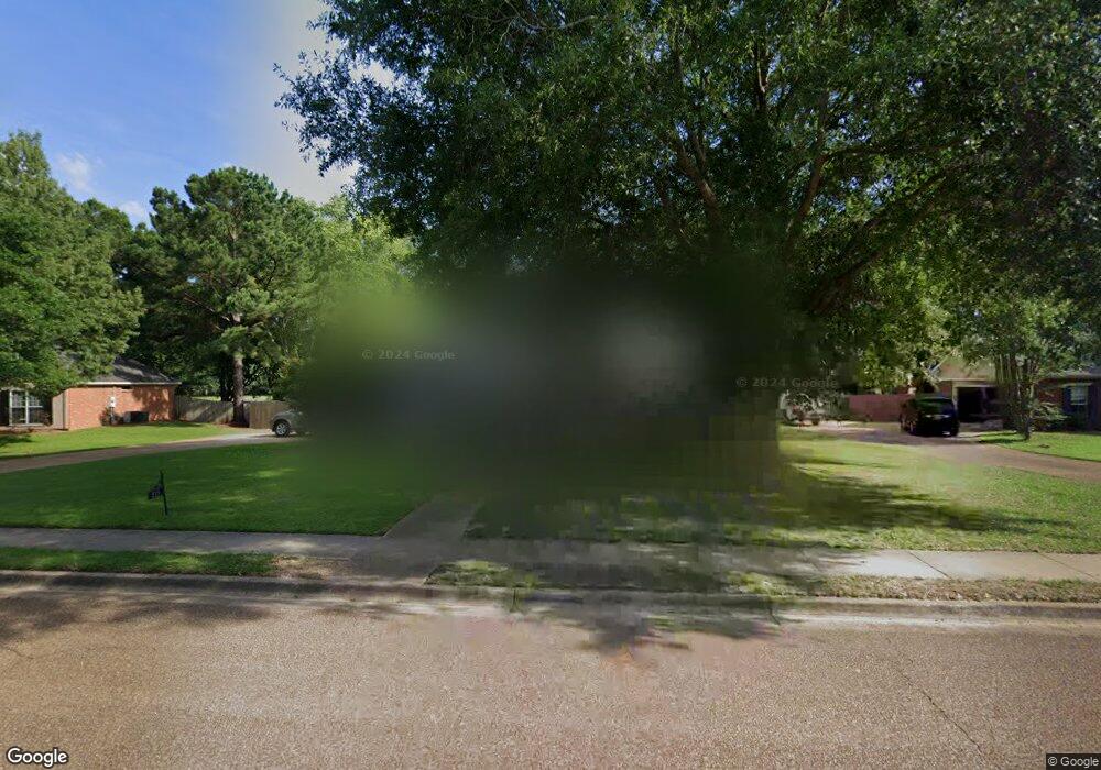
211 Cambridge Dr Madison, MS 39110
Estimated Value: $297,587 - $317,000
4
Beds
2
Baths
1,849
Sq Ft
$165/Sq Ft
Est. Value
About This Home
This home is located at 211 Cambridge Dr, Madison, MS 39110 and is currently estimated at $305,397, approximately $165 per square foot. 211 Cambridge Dr is a home located in Madison County with nearby schools including Madison Avenue Elementary, Madison Avenue Upper Elementary School, and Madison Middle School.
Ownership History
Date
Name
Owned For
Owner Type
Purchase Details
Closed on
Jun 10, 2011
Sold by
Scurlock Larry and Hardin Sue Ellen
Bought by
Isbell Andy Wayne and Shannon Sandra
Current Estimated Value
Home Financials for this Owner
Home Financials are based on the most recent Mortgage that was taken out on this home.
Original Mortgage
$147,172
Outstanding Balance
$102,231
Interest Rate
4.87%
Mortgage Type
FHA
Estimated Equity
$203,166
Purchase Details
Closed on
Mar 3, 2006
Sold by
Zito Michael J
Bought by
Scurlock Larry and Hardin Sue Ellen
Create a Home Valuation Report for This Property
The Home Valuation Report is an in-depth analysis detailing your home's value as well as a comparison with similar homes in the area
Home Values in the Area
Average Home Value in this Area
Purchase History
| Date | Buyer | Sale Price | Title Company |
|---|---|---|---|
| Isbell Andy Wayne | -- | Title & Escrow Services Inc | |
| Scurlock Larry | -- | None Available |
Source: Public Records
Mortgage History
| Date | Status | Borrower | Loan Amount |
|---|---|---|---|
| Open | Isbell Andy Wayne | $147,172 |
Source: Public Records
Tax History
| Year | Tax Paid | Tax Assessment Tax Assessment Total Assessment is a certain percentage of the fair market value that is determined by local assessors to be the total taxable value of land and additions on the property. | Land | Improvement |
|---|---|---|---|---|
| 2025 | $1,649 | $16,721 | $0 | $0 |
| 2024 | $1,649 | $16,721 | $0 | $0 |
| 2023 | $1,649 | $16,721 | $0 | $0 |
| 2022 | $1,649 | $16,721 | $0 | $0 |
| 2021 | $1,578 | $16,115 | $0 | $0 |
| 2020 | $1,578 | $16,115 | $0 | $0 |
| 2019 | $1,578 | $16,115 | $0 | $0 |
| 2018 | $1,578 | $16,115 | $0 | $0 |
| 2017 | $1,550 | $15,872 | $0 | $0 |
| 2016 | $1,550 | $15,872 | $0 | $0 |
| 2015 | $1,499 | $15,440 | $0 | $0 |
| 2014 | $1,499 | $15,440 | $0 | $0 |
Source: Public Records
Map
Nearby Homes
- 3139 Bridgeport Ln
- 0 Woodbridge Dr Unit 4124242
- 2037 Tidewater Ln Unit A
- 241 Sycamore Ln
- 0 Chestnut Hill Unit 4126407
- 0 Conestoga Rd
- 22 Chestnut Dr
- 101 Honey Locust Ct
- 320 Woodrun Dr
- 412 Ashbourn Ct
- 108 Frenchmans Cay
- 516 Silverstone Dr
- 326 Sagewood Dr
- 204 Breezy Hill Dr
- 157 Dyke Rd Unit 26
- 0 Calumet Gardens
- 208 Breezy Hill Dr
- 812 Norwich Dr
- 490 Brookstone Dr
- 102 Beaver Run Ct
- 209 Cambridge Dr
- 213 Cambridge Dr
- 7b Cambridge Dr
- 210 Cambridge Dr
- 212 Cambridge Dr
- 207 Cambridge Dr
- 208 Cambridge Dr
- 214 Cambridge Dr
- 217 Cambridge Dr
- 203 Cambridge Dr
- 216 Cambridge Dr
- 1033 Bridgeport Dr
- 1029 Bridgeport Dr
- 1037 Bridgeport Dr
- 1025 Bridgeport Dr
- 1041 Bridgeport Dr
- 219 Cambridge Dr
- 1021 Bridgeport Dr
- 1017 Bridgeport Dr
- 218 Cambridge Dr
Your Personal Tour Guide
Ask me questions while you tour the home.