211 Cook Hollow Ln Unit 289 Pleasant Shade, TN 37145
Estimated Value: $251,000 - $414,208
--
Bed
2
Baths
1,260
Sq Ft
$250/Sq Ft
Est. Value
About This Home
This home is located at 211 Cook Hollow Ln Unit 289, Pleasant Shade, TN 37145 and is currently estimated at $314,403, approximately $249 per square foot. 211 Cook Hollow Ln Unit 289 is a home located in Jackson County with nearby schools including Jackson County High School.
Ownership History
Date
Name
Owned For
Owner Type
Purchase Details
Closed on
Mar 5, 2024
Sold by
Copeland Wendi
Bought by
Long Cheryl Ann
Current Estimated Value
Purchase Details
Closed on
Jan 9, 2024
Sold by
Long Cheryl Ann
Bought by
Copeland Wendi
Purchase Details
Closed on
Jan 5, 2023
Sold by
Long James K
Bought by
Copeland Wendi
Purchase Details
Closed on
Aug 5, 2005
Sold by
Long James K
Bought by
Long James K
Purchase Details
Closed on
May 31, 1991
Bought by
Long James K and Long Helen S
Purchase Details
Closed on
Jul 24, 1987
Bought by
Libman Harold and Libman Marie E
Purchase Details
Closed on
Jan 12, 1968
Bought by
Morgan Bill and Morgan Jewell D
Purchase Details
Closed on
Nov 13, 1956
Create a Home Valuation Report for This Property
The Home Valuation Report is an in-depth analysis detailing your home's value as well as a comparison with similar homes in the area
Home Values in the Area
Average Home Value in this Area
Purchase History
| Date | Buyer | Sale Price | Title Company |
|---|---|---|---|
| Long Cheryl Ann | -- | None Listed On Document | |
| Long Cheryl Ann | -- | None Listed On Document | |
| Copeland Wendi | -- | None Listed On Document | |
| Copeland Wendi | -- | None Listed On Document | |
| Copeland Wendi | -- | -- | |
| Copeland Wendi | -- | None Listed On Document | |
| Long James K | -- | -- | |
| Long James K | $82,500 | -- | |
| Libman Harold | $77,000 | -- | |
| Morgan Bill | -- | -- | |
| -- | -- | -- |
Source: Public Records
Tax History Compared to Growth
Tax History
| Year | Tax Paid | Tax Assessment Tax Assessment Total Assessment is a certain percentage of the fair market value that is determined by local assessors to be the total taxable value of land and additions on the property. | Land | Improvement |
|---|---|---|---|---|
| 2024 | $1,336 | $52,375 | $20,850 | $31,525 |
| 2023 | $1,336 | $52,375 | $20,850 | $31,525 |
| 2022 | $1,178 | $52,375 | $20,850 | $31,525 |
| 2021 | $1,178 | $52,375 | $20,850 | $31,525 |
| 2020 | $1,145 | $52,375 | $20,850 | $31,525 |
| 2019 | $1,145 | $41,050 | $17,575 | $23,475 |
| 2018 | $1,145 | $41,050 | $17,575 | $23,475 |
| 2017 | $1,145 | $41,050 | $17,575 | $23,475 |
| 2016 | $1,066 | $38,175 | $17,575 | $20,600 |
| 2015 | $1,088 | $38,175 | $17,575 | $20,600 |
| 2014 | $1,041 | $36,525 | $14,025 | $22,500 |
Source: Public Records
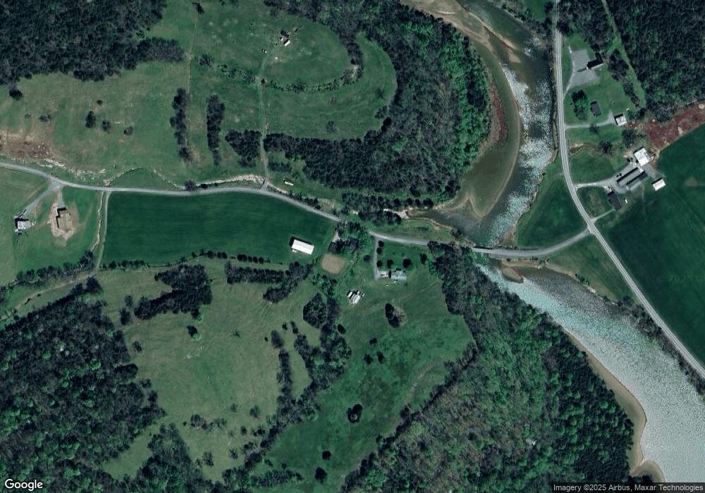
Map
Nearby Homes
- 222 Cook Hollow Ln
- 1103 Wartrace Hwy
- 334 Wartrace Hwy
- 209 Richardson Hollow Ln
- 213 Richardson Hollow Ln
- 360 Long Hollow Ln
- 140 Wartrace Hwy
- 0 Wartrace Hwy Lots 1-4
- 0 Wartrace Hwy
- 0000 Felps Ln
- 2211 Wartrace Hwy
- 2171 Wartrace Hwy
- 193 Dixon Ln
- 420 Salt Lick Creek Rd
- 364 Salt Lick Creek Rd
- 0 Salt Lick Creek Rd
- 103 Salt Lick Creek
- 390 Taylor Hollow Ln
- 00 Little Salt Lick Creek Rd
- 2744 Gladdice Hwy
- 187 Cook Hollow Ln
- 0 Cook Hollow Ln Unit 2077801
- 678 Wartrace Hwy
- 0 Cook Hollow Ln
- 17 Acres Cook Hollow Ln
- 722 Wartrace Hwy
- 914 Wartrace Hwy
- 568 Wartrace Hwy
- 1103 Wartrace Hwy
- 1040 Wartrace Hwy
- 200 Marvin Givens Ln
- 230 E Fork Rd Unit 232
- 400 Wartrace Hwy
- 482 Richardson Hollow Ln
- 386 Wartrace Hwy
- 336 Wartrace Hwy
- 380 Cook Hollow Ln
- 00 Richardson Hollow Ln
- 270 AC Richardson Hollow Ln
- 137 Richardson Hollow Ln