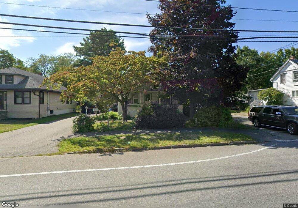
211 Copeland St Brockton, MA 02301
Campello NeighborhoodEstimated Value: $394,228 - $438,000
2
Beds
1
Bath
936
Sq Ft
$445/Sq Ft
Est. Value
About This Home
This home is located at 211 Copeland St, Brockton, MA 02301 and is currently estimated at $416,307, approximately $444 per square foot. 211 Copeland St is a home located in Plymouth County with nearby schools including Gilmore Elementary School, John F. Kennedy Elementary School, and Davis K-8 School.
Ownership History
Date
Name
Owned For
Owner Type
Purchase Details
Closed on
Jun 4, 2007
Sold by
Malloy Dorothy S
Bought by
Berry Michele and Malloy Richard
Current Estimated Value
Home Financials for this Owner
Home Financials are based on the most recent Mortgage that was taken out on this home.
Original Mortgage
$164,000
Outstanding Balance
$98,665
Interest Rate
6.24%
Mortgage Type
Purchase Money Mortgage
Estimated Equity
$317,642
Purchase Details
Closed on
Aug 6, 1993
Sold by
Lefort Grace M
Bought by
Malloy Dorothy
Create a Home Valuation Report for This Property
The Home Valuation Report is an in-depth analysis detailing your home's value as well as a comparison with similar homes in the area
Home Values in the Area
Average Home Value in this Area
Purchase History
| Date | Buyer | Sale Price | Title Company |
|---|---|---|---|
| Berry Michele | $205,000 | -- | |
| Malloy Dorothy | $56,200 | -- |
Source: Public Records
Mortgage History
| Date | Status | Borrower | Loan Amount |
|---|---|---|---|
| Open | Malloy Dorothy | $164,000 | |
| Closed | Malloy Dorothy | $30,750 | |
| Previous Owner | Malloy Dorothy | $11,000 | |
| Previous Owner | Malloy Dorothy | $50,000 |
Source: Public Records
Tax History
| Year | Tax Paid | Tax Assessment Tax Assessment Total Assessment is a certain percentage of the fair market value that is determined by local assessors to be the total taxable value of land and additions on the property. | Land | Improvement |
|---|---|---|---|---|
| 2025 | $4,073 | $336,300 | $138,400 | $197,900 |
| 2024 | $3,927 | $326,700 | $138,400 | $188,300 |
| 2023 | $3,637 | $280,200 | $103,100 | $177,100 |
| 2022 | $3,886 | $278,200 | $93,700 | $184,500 |
| 2021 | $3,344 | $230,600 | $77,600 | $153,000 |
| 2020 | $3,291 | $217,200 | $72,900 | $144,300 |
| 2019 | $3,158 | $203,200 | $70,900 | $132,300 |
| 2018 | $2,902 | $180,700 | $70,900 | $109,800 |
| 2017 | $2,821 | $175,200 | $70,900 | $104,300 |
| 2016 | $2,642 | $152,200 | $68,700 | $83,500 |
| 2015 | $2,345 | $129,200 | $68,700 | $60,500 |
| 2014 | $2,524 | $139,200 | $68,700 | $70,500 |
Source: Public Records
Map
Nearby Homes
- 47 Southworth St
- 326 Copeland St
- 35 Longworth Ave Unit 25
- 25 Longworth Ave Unit 4
- 15 Longworth Ave Unit 226
- 9 Longworth Ave Unit 135
- 9 Longworth Ave Unit 113
- 115 Market St
- 12 Finny's Way
- 34 South St
- 15 Market St
- 26 South St
- 60 Tremont St
- 65 Tremont St
- 25 Tremont St
- 82 Carroll Ave
- 23 E Chestnut St
- 24 E Chestnut St
- 223 Clinton St Unit 16
- 127 Hillberg Ave
- 215 Copeland St
- 16 Southworth St
- 201 Copeland St
- 208 Copeland St
- 223 Copeland St
- 11 Southworth St
- 220 Copeland St
- 2 Pauls Way
- 191 Copeland St
- 19 Southworth St
- 229 Copeland St
- 200 Copeland St
- 226 Copeland St
- 30 Southworth St
- 25 Southworth St
- 233 Copeland St
- 192 Copeland St
- 187 Copeland St
- 214 Copeland St
- 232 Copeland St
Your Personal Tour Guide
Ask me questions while you tour the home.