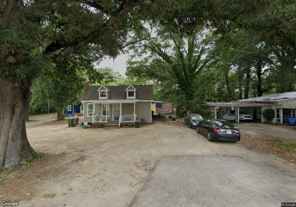
211 Datura Way Lancaster, SC 29720
Estimated Value: $166,000 - $205,995
--
Bed
--
Bath
736
Sq Ft
$247/Sq Ft
Est. Value
About This Home
This home is located at 211 Datura Way, Lancaster, SC 29720 and is currently estimated at $181,499, approximately $246 per square foot. 211 Datura Way is a home with nearby schools including Clinton Elementary School, Buford Middle School, and Lancaster High School.
Ownership History
Date
Name
Owned For
Owner Type
Purchase Details
Closed on
Mar 22, 2024
Sold by
Villalobos Otilio A
Bought by
Villalobos Otilio A and Castillo Lesly Munguia
Current Estimated Value
Purchase Details
Closed on
May 21, 2021
Sold by
Diaz Marcos Armenta
Bought by
Villalobos Otilio A
Purchase Details
Closed on
Mar 19, 2021
Sold by
Werts Lynn
Bought by
Diaz Marcos Armenta
Purchase Details
Closed on
Dec 30, 2020
Sold by
Werts David
Bought by
Werts Lynn
Purchase Details
Closed on
Apr 26, 2019
Sold by
Hinson Yvonne
Bought by
Werts David
Purchase Details
Closed on
Dec 10, 2018
Sold by
County Of Lancaster
Bought by
Werts David
Create a Home Valuation Report for This Property
The Home Valuation Report is an in-depth analysis detailing your home's value as well as a comparison with similar homes in the area
Home Values in the Area
Average Home Value in this Area
Purchase History
| Date | Buyer | Sale Price | Title Company |
|---|---|---|---|
| Villalobos Otilio A | -- | None Listed On Document | |
| Villalobos Otilio A | $5,000 | None Available | |
| Diaz Marcos Armenta | $5,000 | None Available | |
| Werts Lynn | -- | None Available | |
| Werts David | -- | None Available | |
| Werts David | $30,000 | None Available |
Source: Public Records
Tax History Compared to Growth
Tax History
| Year | Tax Paid | Tax Assessment Tax Assessment Total Assessment is a certain percentage of the fair market value that is determined by local assessors to be the total taxable value of land and additions on the property. | Land | Improvement |
|---|---|---|---|---|
| 2024 | $796 | $1,818 | $372 | $1,446 |
| 2023 | $811 | $1,818 | $372 | $1,446 |
| 2022 | $813 | $1,818 | $372 | $1,446 |
| 2021 | $762 | $1,734 | $372 | $1,362 |
| 2020 | $754 | $1,734 | $372 | $1,362 |
| 2019 | $823 | $1,614 | $372 | $1,242 |
| 2018 | $524 | $1,614 | $372 | $1,242 |
| 2017 | $658 | $0 | $0 | $0 |
| 2016 | $662 | $0 | $0 | $0 |
| 2015 | $649 | $0 | $0 | $0 |
| 2014 | $649 | $0 | $0 | $0 |
| 2013 | $649 | $0 | $0 | $0 |
Source: Public Records
Map
Nearby Homes
- 909 Marion St
- 711 Chesterfield Ave
- 801 Calhoun St
- 401 Glenwood Ave
- 619 Hampton Rd
- 504 Chesterfield Ave
- 812 Hudson St
- 000 E Arch St
- 407 Chesterfield Ave
- 1001 Miller St
- 703 E Dunlap St
- 100 S Gregory St
- 111 Magnolia Ln
- 701 Taylor St
- 327 Connor St
- 323 Connor St
- 319 Connor St
- 306 E Arch St
- 508 Miller St
- 504 Miller St
- 509 Glenwood Ave
- 104 Marion St
- 100 Marion St
- 108 Marion St
- 507 Glenwood Ave
- 511 Glenwood Ave
- 508 Rock St
- 505 Glenwood Ave
- 807 Sumter St
- 504 Rock St
- 506 Rock St
- 610 Rock St
- 503 Glenwood Ave
- 506 and 504 Glenwood Ave
- 506 Glenwood Ave
- 502 Rock St
- 510 Glenwood Ave
- 508 Glenwood Ave
- 512 Glenwood Ave
- 608 Rock St