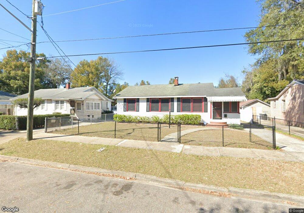
211 E 25th St Jacksonville, FL 32206
Brentwood NeighborhoodEstimated Value: $81,356 - $125,000
3
Beds
1
Bath
1,008
Sq Ft
$106/Sq Ft
Est. Value
About This Home
This home is located at 211 E 25th St, Jacksonville, FL 32206 and is currently estimated at $107,089, approximately $106 per square foot. 211 E 25th St is a home located in Duval County with nearby schools including Long Branch Elementary School, Matthew W. Gilbert Middle School, and Jean Ribault High School.
Ownership History
Date
Name
Owned For
Owner Type
Purchase Details
Closed on
Feb 28, 2006
Sold by
Key Lindsay E
Bought by
Drye Sylvia C
Current Estimated Value
Home Financials for this Owner
Home Financials are based on the most recent Mortgage that was taken out on this home.
Original Mortgage
$72,950
Outstanding Balance
$39,971
Interest Rate
6.04%
Mortgage Type
Purchase Money Mortgage
Estimated Equity
$67,118
Purchase Details
Closed on
Mar 6, 1996
Sold by
Mcdougal William and Mcdougall William
Bought by
Brown Victor L
Home Financials for this Owner
Home Financials are based on the most recent Mortgage that was taken out on this home.
Original Mortgage
$39,570
Interest Rate
6.9%
Mortgage Type
FHA
Create a Home Valuation Report for This Property
The Home Valuation Report is an in-depth analysis detailing your home's value as well as a comparison with similar homes in the area
Home Values in the Area
Average Home Value in this Area
Purchase History
| Date | Buyer | Sale Price | Title Company |
|---|---|---|---|
| Drye Sylvia C | $76,700 | Accu Title Agency | |
| Brown Victor L | $39,900 | -- |
Source: Public Records
Mortgage History
| Date | Status | Borrower | Loan Amount |
|---|---|---|---|
| Open | Drye Sylvia C | $72,950 | |
| Previous Owner | Brown Victor L | $39,570 |
Source: Public Records
Tax History
| Year | Tax Paid | Tax Assessment Tax Assessment Total Assessment is a certain percentage of the fair market value that is determined by local assessors to be the total taxable value of land and additions on the property. | Land | Improvement |
|---|---|---|---|---|
| 2026 | $475 | $30,127 | -- | -- |
| 2025 | $288 | $30,127 | -- | -- |
| 2024 | $273 | $29,278 | -- | -- |
| 2023 | $273 | $28,426 | $0 | $0 |
| 2022 | $256 | $27,599 | $0 | $0 |
| 2021 | $243 | $26,796 | $0 | $0 |
| 2020 | $237 | $26,427 | $0 | $0 |
| 2019 | $227 | $25,833 | $0 | $0 |
| 2018 | $218 | $25,352 | $0 | $0 |
| 2017 | $212 | $24,831 | $0 | $0 |
| 2016 | $212 | $24,321 | $0 | $0 |
| 2015 | $212 | $24,152 | $0 | $0 |
| 2014 | $212 | $23,961 | $0 | $0 |
Source: Public Records
Map
Nearby Homes
- 0 E 27th St Unit 2089523
- 0 E 27th St Unit 2105816
- 3719 Whitehall St
- 3257 Liberty Cir
- 33 E 29th St
- 3317 N Laura St
- 74 W 27th St
- 29 W 21st St
- 2903 Hubbard St
- 59 E 32nd St
- 133 W 23rd St
- 16 W 32nd St
- 407 Springfield Ct N
- 132 W 22nd St
- 51 E 32nd St
- 135 W 23rd St
- 137 W 23rd St
- 2803 N Market St
- 231 E 18th St
- 230 W 27th St
Your Personal Tour Guide
Ask me questions while you tour the home.