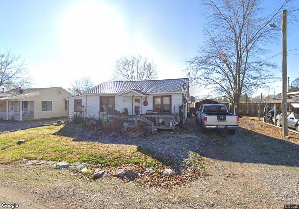
211 E Watie St Pea Ridge, AR 72751
Estimated Value: $179,000 - $232,000
--
Bed
1
Bath
1,210
Sq Ft
$167/Sq Ft
Est. Value
About This Home
This home is located at 211 E Watie St, Pea Ridge, AR 72751 and is currently estimated at $202,131, approximately $167 per square foot. 211 E Watie St is a home located in Benton County with nearby schools including Pea Ridge Intermediate School, Pea Ridge Primary School, and Pea Ridge Middle School.
Ownership History
Date
Name
Owned For
Owner Type
Purchase Details
Closed on
Oct 11, 2021
Sold by
Miller Randy W and Miller Paula A
Bought by
Miller Robbie L and Jowers Jamie S
Current Estimated Value
Purchase Details
Closed on
May 14, 2004
Bought by
Dewitt D
Purchase Details
Closed on
Mar 31, 1989
Bought by
Dewitt
Purchase Details
Closed on
Jan 14, 1980
Bought by
Jr Dewitt
Create a Home Valuation Report for This Property
The Home Valuation Report is an in-depth analysis detailing your home's value as well as a comparison with similar homes in the area
Home Values in the Area
Average Home Value in this Area
Purchase History
| Date | Buyer | Sale Price | Title Company |
|---|---|---|---|
| Miller Robbie L | $21,000 | New Title Company Name | |
| Dewitt D | -- | -- | |
| Dewitt | -- | -- | |
| Jr Dewitt | $17,000 | -- |
Source: Public Records
Tax History Compared to Growth
Tax History
| Year | Tax Paid | Tax Assessment Tax Assessment Total Assessment is a certain percentage of the fair market value that is determined by local assessors to be the total taxable value of land and additions on the property. | Land | Improvement |
|---|---|---|---|---|
| 2025 | $643 | $25,993 | $10,000 | $15,993 |
| 2024 | $629 | $25,993 | $10,000 | $15,993 |
| 2023 | $599 | $12,960 | $3,800 | $9,160 |
| 2022 | $223 | $12,960 | $3,800 | $9,160 |
| 2021 | $191 | $12,960 | $3,800 | $9,160 |
| 2020 | $181 | $9,150 | $1,500 | $7,650 |
| 2019 | $181 | $9,150 | $1,500 | $7,650 |
| 2018 | $206 | $9,150 | $1,500 | $7,650 |
| 2017 | $171 | $9,150 | $1,500 | $7,650 |
| 2016 | $171 | $9,150 | $1,500 | $7,650 |
| 2015 | $542 | $9,530 | $3,200 | $6,330 |
| 2014 | $192 | $9,530 | $3,200 | $6,330 |
Source: Public Records
Map
Nearby Homes
- 117 Van Dorn St
- 1809 Abbott Ln
- 2000 Decker Rd
- 2310 Carper Ln
- 1051 Asboth St
- 340 Baker St
- 287 Mcintosh St
- 296 Van Dorn St
- 264 Mcintosh St
- 825 Baker St
- 646 Lynn Dr
- 745 Harrison St
- 195 W Pickens Rd
- 820 Eagle Crest
- 339 N Davis St
- 625 Eagle Crest
- 1285 Weston St
- 378 Lee Town Rd
- 446 W Pickens Rd
- 516 Greer St
- 273 E Watie St
- 1014 N Curtis Ave
- 293 E Watie St
- 266 E Watie St
- 932 N Curtis Ave
- 987 N Davis St Unit A
- 955, 981 N Curtis Ave
- 1003 N Curtis Ave
- 981 N Curtis Ave
- 1089 N Davis St
- 955,981 N Curtis Ave
- 955 N Curtis Ave
- 1136 N Curtis Ave
- 0 N Curtis Ave Unit 487258
- 0 N Curtis Ave Unit 558939
- 0 N Curtis Ave Unit 649340
- 323 E Watie St
- 936 N Davis St
- 0 Corner of W Patton and N Curtis (Hwy 94) Unit 544936
- 0 Corner of W Patton & N Curtis (Hwy 94) Unit 567979