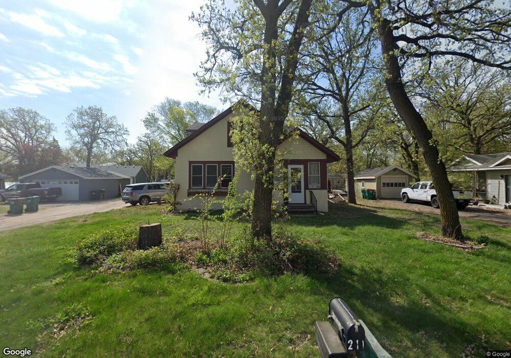
211 Euclid Ave Big Lake, MN 55309
Estimated Value: $300,000 - $342,000
4
Beds
2
Baths
2,913
Sq Ft
$111/Sq Ft
Est. Value
About This Home
This home is located at 211 Euclid Ave, Big Lake, MN 55309 and is currently estimated at $324,400, approximately $111 per square foot. 211 Euclid Ave is a home located in Sherburne County with nearby schools including Liberty Elementary School, Independence Elementary School, and Big Lake Middle School.
Ownership History
Date
Name
Owned For
Owner Type
Purchase Details
Closed on
Dec 11, 2020
Sold by
Vogel Cathy and Mitchell Bruce R
Bought by
Young John E and Young Damone S
Current Estimated Value
Home Financials for this Owner
Home Financials are based on the most recent Mortgage that was taken out on this home.
Original Mortgage
$255,200
Outstanding Balance
$227,609
Interest Rate
2.8%
Mortgage Type
VA
Estimated Equity
$96,791
Purchase Details
Closed on
Oct 3, 2019
Sold by
Fischer Lee J and Fischer Jena A
Bought by
Mitchell Bruce
Home Financials for this Owner
Home Financials are based on the most recent Mortgage that was taken out on this home.
Original Mortgage
$50,000
Interest Rate
3.4%
Mortgage Type
New Conventional
Purchase Details
Closed on
Jun 28, 2002
Sold by
Meeker Robert L and Meeker Jacqueline K
Bought by
Fischer Lee J and Fischer Lena A
Create a Home Valuation Report for This Property
The Home Valuation Report is an in-depth analysis detailing your home's value as well as a comparison with similar homes in the area
Home Values in the Area
Average Home Value in this Area
Purchase History
| Date | Buyer | Sale Price | Title Company |
|---|---|---|---|
| Young John E | $255,200 | Titlesmart Inc | |
| Mitchell Bruce | $210,000 | Servion Commercial Title | |
| Fischer Lee J | $182,400 | -- | |
| Young Ii John John | $255,200 | -- |
Source: Public Records
Mortgage History
| Date | Status | Borrower | Loan Amount |
|---|---|---|---|
| Open | Young John E | $255,200 | |
| Previous Owner | Mitchell Bruce | $50,000 | |
| Closed | Young Ii John John | $255,200 |
Source: Public Records
Tax History Compared to Growth
Tax History
| Year | Tax Paid | Tax Assessment Tax Assessment Total Assessment is a certain percentage of the fair market value that is determined by local assessors to be the total taxable value of land and additions on the property. | Land | Improvement |
|---|---|---|---|---|
| 2025 | $474 | $304,100 | $39,400 | $264,700 |
| 2024 | $692 | $301,000 | $39,400 | $261,600 |
| 2023 | $522 | $319,000 | $73,100 | $245,900 |
| 2022 | $1,470 | $303,700 | $62,100 | $241,600 |
| 2020 | $3,322 | $238,400 | $37,400 | $201,000 |
| 2019 | $2,962 | $224,500 | $34,500 | $190,000 |
| 2018 | $2,868 | $200,600 | $31,700 | $168,900 |
| 2017 | $2,732 | $188,000 | $29,000 | $159,000 |
| 2016 | $2,624 | $174,800 | $25,900 | $148,900 |
| 2015 | $2,414 | $148,000 | $24,300 | $123,700 |
| 2014 | $2,180 | $143,700 | $24,200 | $119,500 |
| 2013 | -- | $123,100 | $23,200 | $99,900 |
Source: Public Records
Map
Nearby Homes
- 491 Highland Ave
- 241 Leighton Dr
- TBD Highway 10 NW
- 679 Lakeshore Dr
- 20050 County Road 81 NW
- 20311 Gordon Ln
- TBD Manitou St
- 240 Wyoming Ave
- 3300 Lake View Ln
- 637 Norwood Ln
- 100 Park Ave
- 4637 Pond View Cir
- 5008 Bluff Rd
- 4265 Lake Ridge Dr
- 20189 Esther Pkwy
- 874 Independence Dr NW
- 3250 Lake Ridge Dr
- 20172 Truman Dr
- 110 Powell Cir E
- 541 William St