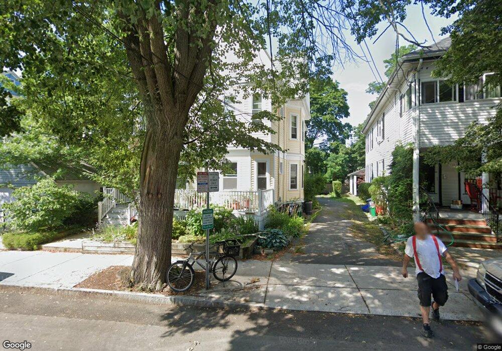
211 Fayerweather St Unit 2 Cambridge, MA 02138
Neighborhood Nine NeighborhoodEstimated Value: $921,855 - $993,000
2
Beds
1
Bath
1,067
Sq Ft
$897/Sq Ft
Est. Value
About This Home
This home is located at 211 Fayerweather St Unit 2, Cambridge, MA 02138 and is currently estimated at $956,964, approximately $896 per square foot. 211 Fayerweather St Unit 2 is a home located in Middlesex County with nearby schools including Benjamin Banneker Charter Public School, Cambridge Montessori School, and Cambridge Friends School.
Ownership History
Date
Name
Owned For
Owner Type
Purchase Details
Closed on
Feb 11, 2025
Sold by
Cutler Sheila A
Bought by
Sheila J Cutler Ret and Cutler
Current Estimated Value
Purchase Details
Closed on
Dec 11, 1998
Sold by
Mclaughlin Eric and Mclaughlin Kimberly A
Bought by
Cutler Sheila A
Purchase Details
Closed on
Feb 21, 1997
Sold by
Adelson Ellen
Bought by
Mclaughlin Eric and Mclaughlin Kimberly A
Purchase Details
Closed on
Jan 19, 1993
Sold by
Kliman Marlene and Silver Bernard
Bought by
Adelson Ellen
Create a Home Valuation Report for This Property
The Home Valuation Report is an in-depth analysis detailing your home's value as well as a comparison with similar homes in the area
Home Values in the Area
Average Home Value in this Area
Purchase History
| Date | Buyer | Sale Price | Title Company |
|---|---|---|---|
| Sheila J Cutler Ret | -- | None Available | |
| Cutler Sheila A | $281,500 | -- | |
| Mclaughlin Eric | $228,000 | -- | |
| Adelson Ellen | $194,000 | -- |
Source: Public Records
Mortgage History
| Date | Status | Borrower | Loan Amount |
|---|---|---|---|
| Previous Owner | Adelson Ellen | $268,000 | |
| Previous Owner | Adelson Ellen | $272,000 | |
| Previous Owner | Adelson Ellen | $275,500 |
Source: Public Records
Tax History Compared to Growth
Tax History
| Year | Tax Paid | Tax Assessment Tax Assessment Total Assessment is a certain percentage of the fair market value that is determined by local assessors to be the total taxable value of land and additions on the property. | Land | Improvement |
|---|---|---|---|---|
| 2025 | $5,436 | $856,000 | $0 | $856,000 |
| 2024 | $5,035 | $850,500 | $0 | $850,500 |
| 2023 | $4,853 | $828,100 | $0 | $828,100 |
| 2022 | $4,835 | $816,800 | $0 | $816,800 |
| 2021 | $4,724 | $807,600 | $0 | $807,600 |
| 2020 | $4,658 | $810,000 | $0 | $810,000 |
| 2019 | $4,468 | $752,200 | $0 | $752,200 |
| 2018 | $4,348 | $691,200 | $0 | $691,200 |
| 2017 | $4,217 | $649,700 | $0 | $649,700 |
| 2016 | $4,114 | $588,500 | $0 | $588,500 |
| 2015 | $4,072 | $520,700 | $0 | $520,700 |
| 2014 | $4,017 | $479,300 | $0 | $479,300 |
Source: Public Records
Map
Nearby Homes
- 32 Copley St Unit 2
- 5 Field St
- 156 Fayerweather St Unit 156
- 18 Donnell St
- 14-16 Field St
- 273 Walden St Unit 2
- 422-424 Walden St
- 148 Huron Ave
- 71-73 Reservoir St
- 234 Huron Ave
- 12-14 Gray Gardens W
- 92 Fayerweather St Unit 2
- 31 Chilton St Unit 1
- 84 Garden St
- 24 Bay State Rd Unit 7
- 61 Bolton St Unit 304
- 382 Huron Ave
- 147 Sherman St Unit 201
- 202 Garden St
- 243 Lexington Ave
- 211 Fayerweather St Unit 3
- 211 Fayerweather St Unit 1
- 211 Fayerweather St Unit 1,1
- 6 Ivy St
- 24 Ivy St Unit 2
- 24 Ivy St Unit 1
- 2-4 Ivy St Unit 1
- 2-4 Ivy St
- 2 Ivy St Unit 1
- 4 Ivy St
- 10 Ivy St
- 219 Fayerweather St Unit 3
- 219 Fayerweather St Unit 2
- 217 Fayerweather St
- 212 Fayerweather St Unit 214
- 212 Fayerweather St Unit 1
- 214 Fayerweather St
- 214 Fayerweather St
- 208 Fayerweather St Unit 210
- 221 Fayerweather St Unit 1