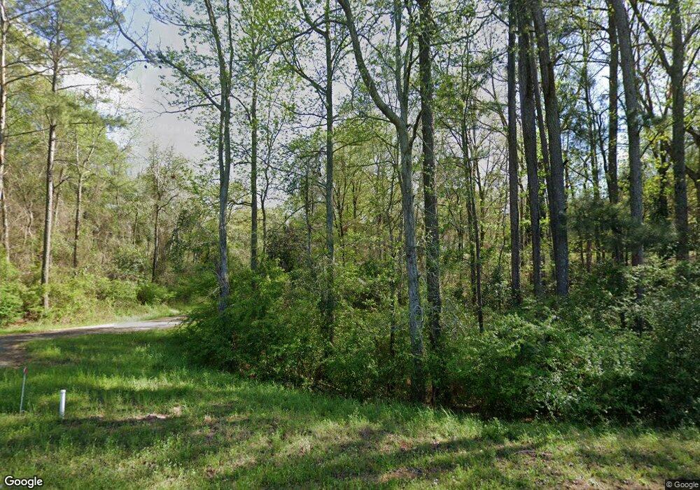
211 Grange Rd Silver Creek, MS 39663
Estimated Value: $70,000 - $157,000
3
Beds
2
Baths
1,322
Sq Ft
$85/Sq Ft
Est. Value
About This Home
This home is located at 211 Grange Rd, Silver Creek, MS 39663 and is currently estimated at $112,587, approximately $85 per square foot. 211 Grange Rd is a home located in Lawrence County with nearby schools including New Hebron Attendance Center, Monticello Elementary School, and Lawrence County High School.
Ownership History
Date
Name
Owned For
Owner Type
Purchase Details
Closed on
Feb 6, 2007
Sold by
Beneficial Mortgage Co Of Mississippi
Bought by
Cliburn Robert Glenn and Cliburn Roma
Current Estimated Value
Purchase Details
Closed on
Sep 11, 2006
Sold by
Myers Richard J
Bought by
Beneficial Mortgage Co Of Mississippi
Create a Home Valuation Report for This Property
The Home Valuation Report is an in-depth analysis detailing your home's value as well as a comparison with similar homes in the area
Home Values in the Area
Average Home Value in this Area
Purchase History
| Date | Buyer | Sale Price | Title Company |
|---|---|---|---|
| Cliburn Robert Glenn | -- | -- | |
| Beneficial Mortgage Co Of Mississippi | $38,360 | -- |
Source: Public Records
Tax History Compared to Growth
Tax History
| Year | Tax Paid | Tax Assessment Tax Assessment Total Assessment is a certain percentage of the fair market value that is determined by local assessors to be the total taxable value of land and additions on the property. | Land | Improvement |
|---|---|---|---|---|
| 2024 | $1,301 | $10,267 | $0 | $0 |
| 2023 | $1,270 | $10,267 | $0 | $0 |
| 2022 | $1,265 | $10,267 | $0 | $0 |
| 2021 | $1,229 | $10,267 | $0 | $0 |
| 2020 | $1,213 | $10,135 | $0 | $0 |
| 2019 | $1,186 | $10,135 | $0 | $0 |
| 2018 | $1,171 | $10,135 | $0 | $0 |
| 2017 | $1,171 | $10,135 | $0 | $0 |
| 2016 | -- | $6,914 | $0 | $0 |
| 2015 | -- | $6,914 | $0 | $0 |
| 2014 | -- | $6,914 | $0 | $0 |
Source: Public Records
Map
Nearby Homes
- 0 Martin Walker Rd Unit LotWP001
- Parcel 1 Stephens Cemetery Rd
- 0 Crooked Creek Rd Unit 24514100
- Parcel 2 Stephens Cemetery Rd
- Stephens Cemetery Rd Silver Creek Unit MS 39663
- Parcel 3 Stephens Cemetery Rd
- Daughdrill Rd
- 0 Crooked Creek Rd
- . Fergson Rd Barber Rd Crooked Creek Rd
- 132 Ferguson Mill Rd
- 0 Daughdrill Rd
- - Daughdrill Rd
- 172 Cherry Ave
- 463 Daughdrill Rd
- 27 Dogwood Dr
- Stephens Cemetary Rd
- 0 W Highway 42 Hwy Unit 22545050
- 400 Sills Ferry Rd
- 01 Oak Grove Rd
- 00 Oak Grove Rd
- 186 Grange Rd
- 16 George Blair Ln
- 218 Grange Rd
- 21 Harold Blair Ln
- 43 Harold Blair Ln
- 1 Grange Rd
- 0 Grange Rd
- 0 Grange Rd
- 243 Grange Rd
- 243 Grange Rd
- 16 David Blair Ln
- 000 Grange Rd
- 0 Grange Hall Rd Unit 1315095
- 89 Grange Rd
- 70 Grange Rd
- 1972 Ferguson Mill Rd
- 1986 Ferguson Mill Rd
- 140 Raymond Sills Rd
- 132 Raymond Sills Rd
- 469 E Smith Ferry Rd
