211 Leary Rd Honey Brook, PA 19344
Estimated Value: $706,000 - $961,000
3
Beds
3
Baths
2,528
Sq Ft
$318/Sq Ft
Est. Value
About This Home
This home is located at 211 Leary Rd, Honey Brook, PA 19344 and is currently estimated at $802,871, approximately $317 per square foot. 211 Leary Rd is a home located in Chester County with nearby schools including Kings Highway Elementary School, Coatesville Intermediate High School, and Coatesville Area Senior High School.
Ownership History
Date
Name
Owned For
Owner Type
Purchase Details
Closed on
Jan 22, 2013
Sold by
King Daniel and King Linda
Bought by
Stoltzfus Melvin L and Stoltzfus John F
Current Estimated Value
Home Financials for this Owner
Home Financials are based on the most recent Mortgage that was taken out on this home.
Original Mortgage
$416,000
Outstanding Balance
$290,998
Interest Rate
3.5%
Mortgage Type
Adjustable Rate Mortgage/ARM
Estimated Equity
$511,873
Purchase Details
Closed on
May 13, 2003
Sold by
King Daniel and King Linda
Bought by
King Daniel and King Linda
Create a Home Valuation Report for This Property
The Home Valuation Report is an in-depth analysis detailing your home's value as well as a comparison with similar homes in the area
Home Values in the Area
Average Home Value in this Area
Purchase History
| Date | Buyer | Sale Price | Title Company |
|---|---|---|---|
| Stoltzfus Melvin L | $520,000 | None Available | |
| King Daniel | -- | -- |
Source: Public Records
Mortgage History
| Date | Status | Borrower | Loan Amount |
|---|---|---|---|
| Open | Stoltzfus Melvin L | $416,000 |
Source: Public Records
Tax History Compared to Growth
Tax History
| Year | Tax Paid | Tax Assessment Tax Assessment Total Assessment is a certain percentage of the fair market value that is determined by local assessors to be the total taxable value of land and additions on the property. | Land | Improvement |
|---|---|---|---|---|
| 2025 | $8,468 | $257,670 | $73,540 | $184,130 |
| 2024 | $8,468 | $243,810 | $73,540 | $170,270 |
| 2023 | $8,151 | $243,810 | $73,540 | $170,270 |
| 2022 | $7,760 | $243,810 | $73,540 | $170,270 |
| 2021 | $7,634 | $243,810 | $73,540 | $170,270 |
| 2020 | $7,474 | $243,810 | $73,540 | $170,270 |
| 2019 | $7,225 | $243,810 | $73,540 | $170,270 |
| 2018 | $6,910 | $243,810 | $73,540 | $170,270 |
| 2017 | $6,660 | $243,810 | $73,540 | $170,270 |
| 2016 | $5,443 | $243,810 | $73,540 | $170,270 |
| 2015 | $5,443 | $243,810 | $73,540 | $170,270 |
| 2014 | $5,443 | $243,810 | $73,540 | $170,270 |
Source: Public Records
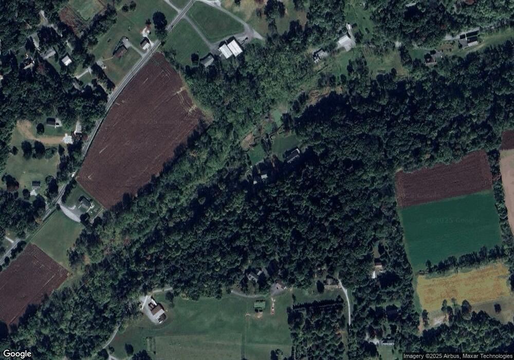
Map
Nearby Homes
- 216 Michael Rd
- 180 Lilly Rd
- 127 Beacon Light Rd
- 116 Cambridge Rd
- 14 Blue Spruce Dr
- 108 Cambridge Rd
- 2200 Beaver Dam Rd
- 115 Durham Dr
- 291 N Sandy Hill Rd
- 110 Hillbrook Dr
- 230 Rock Rd
- 317 Compass Rd
- 109 Brylin Dr
- 471 Ash Rd
- 221 Creamery Rd
- 114 Wendy Cir
- 0 Cambridge Rd
- 283 Cambridge Rd
- 650 Broad St
- 490 Red Hill Rd
- 3144 Compass Rd
- 201 Leary Rd
- 2111 Telegraph Rd
- 177 Leary Rd
- 173 Leary Rd
- 181 Leary Rd
- 2070 Telegraph Rd
- 3134 Compass Rd
- 3161 Compass Rd
- 170 Caton Rd
- 3171 Compass Rd
- 167 Leary Rd
- 3145 Compass Rd
- 2050 Telegraph Rd
- 3139 Compass Rd
- 3128 Compass Rd
- 185 Leary Rd
- 3135 Compass Rd
- 101 Criswell Rd
- 3151 Compass Rd