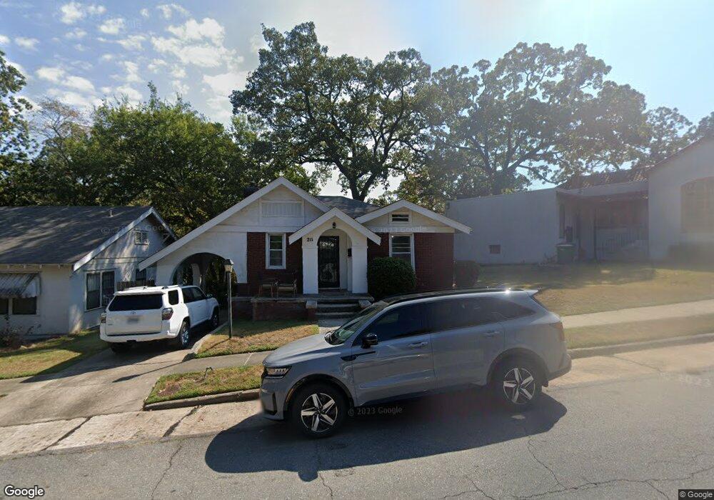
211 Pearl Ave Little Rock, AR 72205
Hillcrest NeighborhoodEstimated Value: $184,000 - $209,000
--
Bed
1
Bath
1,116
Sq Ft
$175/Sq Ft
Est. Value
About This Home
This home is located at 211 Pearl Ave, Little Rock, AR 72205 and is currently estimated at $195,548, approximately $175 per square foot. 211 Pearl Ave is a home located in Pulaski County with nearby schools including M.L. King Elementary School, Dunbar Magnet Middle School, and Central High School.
Ownership History
Date
Name
Owned For
Owner Type
Purchase Details
Closed on
Jul 1, 2020
Sold by
Tucker Timothy Gement
Bought by
Matthews Christy Treat
Current Estimated Value
Purchase Details
Closed on
Dec 27, 2007
Sold by
Switzer Meredith B
Bought by
Tucker Christy T and Tucker Timothy G
Home Financials for this Owner
Home Financials are based on the most recent Mortgage that was taken out on this home.
Original Mortgage
$142,000
Interest Rate
6.07%
Mortgage Type
Purchase Money Mortgage
Purchase Details
Closed on
Jun 8, 2005
Sold by
Augustine Ruth E
Bought by
Switzer Meredith B
Home Financials for this Owner
Home Financials are based on the most recent Mortgage that was taken out on this home.
Original Mortgage
$24,980
Interest Rate
5.76%
Mortgage Type
Stand Alone Second
Create a Home Valuation Report for This Property
The Home Valuation Report is an in-depth analysis detailing your home's value as well as a comparison with similar homes in the area
Home Values in the Area
Average Home Value in this Area
Purchase History
| Date | Buyer | Sale Price | Title Company |
|---|---|---|---|
| Matthews Christy Treat | -- | None Available | |
| Tucker Christy T | $142,000 | Lenders Title Company | |
| Switzer Meredith B | $125,000 | Lenders Title Co |
Source: Public Records
Mortgage History
| Date | Status | Borrower | Loan Amount |
|---|---|---|---|
| Previous Owner | Tucker Christy T | $142,000 | |
| Previous Owner | Switzer Meredith B | $24,980 | |
| Previous Owner | Switzer Meredith B | $99,920 |
Source: Public Records
Tax History Compared to Growth
Tax History
| Year | Tax Paid | Tax Assessment Tax Assessment Total Assessment is a certain percentage of the fair market value that is determined by local assessors to be the total taxable value of land and additions on the property. | Land | Improvement |
|---|---|---|---|---|
| 2025 | $1,966 | $28,081 | $4,000 | $24,081 |
| 2024 | $1,844 | $28,081 | $4,000 | $24,081 |
| 2023 | $1,844 | $28,081 | $4,000 | $24,081 |
| 2022 | $1,760 | $28,081 | $4,000 | $24,081 |
| 2021 | $1,688 | $23,940 | $4,400 | $19,540 |
| 2020 | $1,301 | $23,940 | $4,400 | $19,540 |
| 2019 | $1,301 | $23,940 | $4,400 | $19,540 |
| 2018 | $1,326 | $23,940 | $4,400 | $19,540 |
| 2017 | $1,326 | $23,940 | $4,400 | $19,540 |
| 2016 | $1,693 | $24,190 | $6,000 | $18,190 |
| 2015 | $1,696 | $24,190 | $6,000 | $18,190 |
| 2014 | $1,696 | $24,190 | $6,000 | $18,190 |
Source: Public Records
Map
Nearby Homes
- 306 S Woodrow St
- 305 Booker St
- 2717 W Capitol Ave
- 400 S Booker St
- 121 N Woodrow St
- 216 Rice St
- 111 Midland St
- 102 Midland St
- 1116 Kavanaugh Blvd
- 203 Midland St
- 1109 Kavanaugh Blvd
- 301 N Woodrow St
- 1204 Kavanaugh Blvd
- 201 Dennison St
- 3212 Lamar St
- 312 Barton St
- 313 Charles St
- 312 Valmar St
- 923 Booker St
- 402 S Valentine St