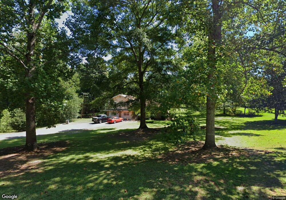
211 Poplar Cir Lagrange, GA 30241
Estimated Value: $225,000 - $288,000
4
Beds
3
Baths
2,526
Sq Ft
$101/Sq Ft
Est. Value
About This Home
This home is located at 211 Poplar Cir, Lagrange, GA 30241 and is currently estimated at $256,005, approximately $101 per square foot. 211 Poplar Cir is a home located in Troup County with nearby schools including Callaway Elementary School, Hogansville Elementary School, and Callaway Middle School.
Ownership History
Date
Name
Owned For
Owner Type
Purchase Details
Closed on
Mar 4, 2000
Sold by
Deborah Leroy Norred
Bought by
Norred Debroah Leroy
Current Estimated Value
Purchase Details
Closed on
Dec 15, 1992
Sold by
Leroy J
Bought by
Deborah Leroy Norred
Purchase Details
Closed on
Nov 1, 1985
Sold by
Larry Deborah and Larry Norred
Bought by
Leroy J
Purchase Details
Closed on
Jun 30, 1984
Sold by
Phillip Betty J and Phillip Smith
Bought by
Larry Deborah and Larry Norred
Purchase Details
Closed on
Jan 1, 1968
Sold by
Phillip Smith
Bought by
Phillip Betty J and Phillip Smith
Create a Home Valuation Report for This Property
The Home Valuation Report is an in-depth analysis detailing your home's value as well as a comparison with similar homes in the area
Purchase History
| Date | Buyer | Sale Price | Title Company |
|---|---|---|---|
| Norred Debroah Leroy | -- | -- | |
| Deborah Leroy Norred | -- | -- | |
| Leroy J | -- | -- | |
| Larry Deborah | -- | -- | |
| Phillip Betty J | -- | -- |
Source: Public Records
Tax History
| Year | Tax Paid | Tax Assessment Tax Assessment Total Assessment is a certain percentage of the fair market value that is determined by local assessors to be the total taxable value of land and additions on the property. | Land | Improvement |
|---|---|---|---|---|
| 2025 | $2,443 | $97,640 | $12,480 | $85,160 |
| 2024 | $2,142 | $80,520 | $12,480 | $68,040 |
| 2023 | $2,185 | $82,120 | $12,480 | $69,640 |
| 2022 | $2,053 | $75,560 | $10,000 | $65,560 |
| 2021 | $1,466 | $50,600 | $8,000 | $42,600 |
| 2020 | $1,466 | $50,600 | $8,000 | $42,600 |
| 2019 | $1,446 | $49,920 | $8,000 | $41,920 |
| 2018 | $1,433 | $49,500 | $7,260 | $42,240 |
| 2017 | $1,433 | $49,500 | $7,260 | $42,240 |
| 2016 | $1,351 | $46,763 | $7,260 | $39,503 |
| 2015 | $1,353 | $46,763 | $7,260 | $39,503 |
| 2014 | $1,292 | $44,684 | $7,260 | $37,424 |
| 2013 | -- | $45,348 | $7,260 | $38,088 |
Source: Public Records
Map
Nearby Homes
- 129 Mallory Dr
- 113 Pine Cir
- 311 Mourning Ct Unit LOT 33
- 459 Merrywood Dr
- 428 Macon St
- 0 E Render St
- 2 Louise St
- 1017 Mason St
- 0 Mason St Unit E102667
- 957 Kelley St
- 15 Fulton St
- 0 Kelley St Unit 10550311
- 0 Upper Big Springs Rd Unit 10545622
- 100 Dove Creek Ct
- 507 Headwater Ct Unit 6
- 503 Headwater Ct Unit 4D
- 502 Headwater Ct Unit 8D
- 302 Glenhaven Dr Unit 2D
- 4 1/2 Barnard Ave
- 111 Shenandoah Ln
Your Personal Tour Guide
Ask me questions while you tour the home.