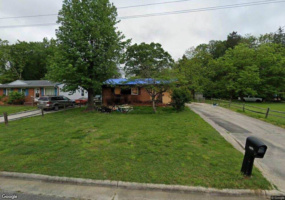
211 Randall St High Point, NC 27260
Greater High Point NeighborhoodEstimated Value: $113,000 - $150,262
2
Beds
1
Bath
912
Sq Ft
$137/Sq Ft
Est. Value
About This Home
This home is located at 211 Randall St, High Point, NC 27260 and is currently estimated at $124,816, approximately $136 per square foot. 211 Randall St is a home located in Guilford County with nearby schools including Union Hill Elementary School, Jamestown Middle School, and Ragsdale High School.
Ownership History
Date
Name
Owned For
Owner Type
Purchase Details
Closed on
Dec 6, 2020
Sold by
Harrington Casey Napoleon
Bought by
Harrington Casey Demetrius
Current Estimated Value
Purchase Details
Closed on
Nov 14, 1988
Bought by
Harrington Casey N
Create a Home Valuation Report for This Property
The Home Valuation Report is an in-depth analysis detailing your home's value as well as a comparison with similar homes in the area
Home Values in the Area
Average Home Value in this Area
Purchase History
| Date | Buyer | Sale Price | Title Company |
|---|---|---|---|
| Harrington Casey Demetrius | -- | None Available | |
| Harrington Casey N | $40,000 | -- |
Source: Public Records
Tax History Compared to Growth
Tax History
| Year | Tax Paid | Tax Assessment Tax Assessment Total Assessment is a certain percentage of the fair market value that is determined by local assessors to be the total taxable value of land and additions on the property. | Land | Improvement |
|---|---|---|---|---|
| 2025 | $1,006 | $15,000 | $15,000 | -- |
| 2024 | $1,006 | $73,000 | $15,000 | $58,000 |
| 2023 | $1,006 | $73,000 | $15,000 | $58,000 |
| 2022 | $984 | $73,000 | $15,000 | $58,000 |
| 2021 | $932 | $67,600 | $10,000 | $57,600 |
| 2020 | $932 | $67,600 | $10,000 | $57,600 |
| 2019 | $932 | $67,600 | $0 | $0 |
| 2018 | $927 | $67,600 | $0 | $0 |
| 2017 | $932 | $67,600 | $0 | $0 |
| 2016 | $959 | $68,400 | $0 | $0 |
| 2015 | $964 | $68,400 | $0 | $0 |
| 2014 | $981 | $68,400 | $0 | $0 |
Source: Public Records
Map
Nearby Homes
- 901 Hickory Chapel Rd
- 1605 Mossbrook Cir
- 709 Habersham Rd
- 430 New St
- 2317 Purdy Ave
- 928 Marlboro St
- 1222 Carter St
- 3003 #REAR Oakcrest Ave
- 928 #R1 Marlboro St
- 930 Marlboro St
- 934 Marlboro St
- 1907 Apex Place
- 1908 Leonard Ave
- 811 Worth St
- 1900-1922 Baker Rd
- 404 Hickory Chapel Rd
- 3304 Central Ave
- 2305 Delaware Place
- 632 Spring Garden Cir
- 640 Wesley Dr
- 209 Randall St
- 205 Randall St
- 3001 Lowe Ave
- 203 Randall St
- 2909 Lowe Ave
- 212 Randall St
- 210 Randall St
- 2907 Lowe Ave
- 206 Randall St
- 201 Randall St
- 2910 Lowe Ave
- 2604 Patrick Ave
- 2905 Lowe Ave
- 2908 Lowe Ave
- 2906 Lowe Ave
- 207 Sunnybrook St
- 2602 Patrick Ave
- 209 Sunnybrook St
- 2903 Lowe Ave
- 205 Sunnybrook St