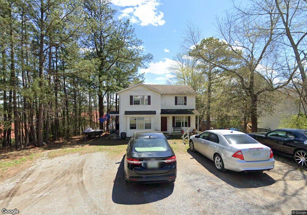
211 Reeves St Dickson, TN 37055
Estimated Value: $268,000 - $533,000
Studio
2
Baths
2,110
Sq Ft
$177/Sq Ft
Est. Value
About This Home
This home is located at 211 Reeves St, Dickson, TN 37055 and is currently estimated at $373,563, approximately $177 per square foot. 211 Reeves St is a home located in Dickson County with nearby schools including Centennial Elementary School, Dickson Middle School, and Dickson County High School.
Ownership History
Date
Name
Owned For
Owner Type
Purchase Details
Closed on
Dec 10, 2002
Sold by
Kotsch Dawn E
Bought by
Kotsch David D
Current Estimated Value
Purchase Details
Closed on
Dec 3, 1997
Sold by
Williams Roy A
Bought by
Kotsch David D and Kotsch Dawn E
Home Financials for this Owner
Home Financials are based on the most recent Mortgage that was taken out on this home.
Original Mortgage
$85,500
Interest Rate
7.19%
Purchase Details
Closed on
Nov 19, 1986
Purchase Details
Closed on
Jun 5, 1984
Create a Home Valuation Report for This Property
The Home Valuation Report is an in-depth analysis detailing your home's value as well as a comparison with similar homes in the area
Home Values in the Area
Average Home Value in this Area
Purchase History
| Date | Buyer | Sale Price | Title Company |
|---|---|---|---|
| Kotsch David D | -- | -- | |
| Kotsch David D | $96,000 | -- | |
| -- | -- | -- | |
| -- | -- | -- |
Source: Public Records
Mortgage History
| Date | Status | Borrower | Loan Amount |
|---|---|---|---|
| Previous Owner | Not Available | $85,500 |
Source: Public Records
Tax History Compared to Growth
Tax History
| Year | Tax Paid | Tax Assessment Tax Assessment Total Assessment is a certain percentage of the fair market value that is determined by local assessors to be the total taxable value of land and additions on the property. | Land | Improvement |
|---|---|---|---|---|
| 2025 | -- | $68,250 | $17,475 | $50,775 |
| 2024 | -- | $68,250 | $17,475 | $50,775 |
| 2023 | $1,348 | $43,150 | $7,025 | $36,125 |
| 2022 | $1,348 | $43,150 | $7,025 | $36,125 |
| 2021 | $1,348 | $43,150 | $7,025 | $36,125 |
| 2020 | $1,348 | $43,150 | $7,025 | $36,125 |
| 2019 | $1,348 | $43,150 | $7,025 | $36,125 |
| 2018 | $1,057 | $28,950 | $3,250 | $25,700 |
| 2017 | $1,057 | $28,950 | $3,250 | $25,700 |
| 2016 | $1,057 | $28,950 | $3,250 | $25,700 |
| 2015 | $1,123 | $28,950 | $3,250 | $25,700 |
| 2014 | $1,123 | $28,950 | $3,250 | $25,700 |
Source: Public Records
Map
Nearby Homes
- 213 Mccreary Heights
- 110 Mccreary Heights
- 414 W College St
- 805 W 2nd St
- 202 W College St Unit 4
- 909 W 1st St
- 701 W 5th St
- 500 Church St
- 404 Masters Way
- 0 Hardin Ave
- 210 Hardin Ave
- 500 Country Club Dr
- 307 Masters Way
- 212 Sylvis St
- 313 Hardin Ave
- 0 Tucker Rd Unit RTC3051077
- 122 Pond Rd
- 121 Sylvis St
- 2 Old Pond Ln
- 4 Old Pond Ln