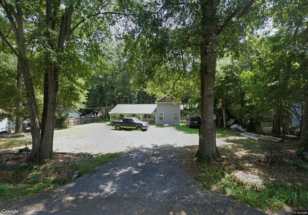
211 Robbie Dr Dalton, GA 30721
Estimated Value: $168,533 - $238,000
2
Beds
1
Bath
784
Sq Ft
$248/Sq Ft
Est. Value
About This Home
This home is located at 211 Robbie Dr, Dalton, GA 30721 and is currently estimated at $194,633, approximately $248 per square foot. 211 Robbie Dr is a home located in Whitfield County with nearby schools including Eastside Elementary School, Eastbrook Middle School, and Southeast Whitfield County High School.
Ownership History
Date
Name
Owned For
Owner Type
Purchase Details
Closed on
Mar 29, 2016
Sold by
Paniagua Francisco
Bought by
Garcia Ana F
Current Estimated Value
Home Financials for this Owner
Home Financials are based on the most recent Mortgage that was taken out on this home.
Original Mortgage
$50,000
Outstanding Balance
$991
Interest Rate
3.64%
Mortgage Type
New Conventional
Estimated Equity
$193,642
Purchase Details
Closed on
Aug 31, 2015
Sold by
Midfirst Bank
Bought by
Paniagua Francisco
Purchase Details
Closed on
Feb 3, 2015
Sold by
Mooney Hoyt
Bought by
Midfirst Bank
Purchase Details
Closed on
Jan 1, 1998
Bought by
Mooney Hoyt
Create a Home Valuation Report for This Property
The Home Valuation Report is an in-depth analysis detailing your home's value as well as a comparison with similar homes in the area
Purchase History
We collect this data history from publicly available records. To have your information removed, we recommend requesting removal directly through your county’s website.
| Date | Buyer | Sale Price | Title Company |
|---|---|---|---|
| Garcia Ana F | $57,000 | -- | |
| Paniagua Francisco | $19,800 | -- | |
| Midfirst Bank | $19,500 | -- | |
| Mooney Hoyt | $49,900 | -- |
Source: Public Records
Mortgage History
We collect this data history from publicly available records. To have your information removed, we recommend requesting removal directly through your county’s website.
| Date | Status | Borrower | Loan Amount |
|---|---|---|---|
| Open | Garcia Ana F | $50,000 |
Source: Public Records
Tax History
| Year | Tax Paid | Tax Assessment Tax Assessment Total Assessment is a certain percentage of the fair market value that is determined by local assessors to be the total taxable value of land and additions on the property. | Land | Improvement |
|---|---|---|---|---|
| 2025 | $1,490 | $71,064 | $6,104 | $64,960 |
| 2024 | $1,490 | $71,064 | $6,104 | $64,960 |
| 2023 | $796 | $33,537 | $2,158 | $31,379 |
| 2022 | $614 | $29,367 | $2,158 | $27,209 |
| 2021 | $614 | $29,367 | $2,158 | $27,209 |
| 2020 | $623 | $29,367 | $2,158 | $27,209 |
| 2019 | $301 | $18,067 | $2,158 | $15,909 |
| 2018 | $300 | $18,009 | $2,100 | $15,909 |
| 2017 | $300 | $18,009 | $2,100 | $15,909 |
| 2016 | $274 | $16,588 | $2,100 | $14,488 |
| 2014 | $263 | $15,966 | $1,478 | $14,488 |
| 2013 | -- | $15,965 | $1,478 | $14,487 |
Source: Public Records
Map
Nearby Homes
- 2815 Lyle Ln
- 165 Stanley St Unit 560-561
- 2637 Old Grade Rd
- 0 Old Grade Rd
- 216 Scobie Ave
- 119 Wooten Dr
- 3407 Airport Rd SE
- 213 Nashville St
- 118 Hill Rd
- 116 Monterey Dr
- 143 Staten St
- 129 Hillwood Dr
- 2905 E Walnut Ave
- 119 Eugenia Dr
- 121 Eugenia Dr
- 1902 Bartenfield Dr
- 112 Gillespie Dr
- 115 Zell Dr
- 00 Hill Rd
- 0 Tibbs Bridge Rd SE
Your Personal Tour Guide
Ask me questions while you tour the home.